


 293 / 336

[
] 293
I
nternational
C
ooperation
on
W
ater
S
ciences
and
R
esearch
biological sciences, humanities and engineering schools, particu-
larly REDAC and CGSS, have been working on:
• flood forecasting, digital mapping, risk studies and
flood mitigations
• simulation of tsunami currents, for example Merbok Estuary
in Kedah
• assisting government agencies like the Department of
Drainage Malaysia on water issues such as preparing the
new version of MSMA, the Urban Storm Water Management
Manual for Malaysia
• rehabilitation of degraded and polluted rivers
• sustainable urban drainage systems
• community-based vulnerability and adaptation to flood
and food security (Kuala Nerang, Kedah).
An integrated and sustainable urban drainage system, known as
Bio-Ecological Drainage Systems (BIOECODS), was designed
by REDAC and subsequently constructed in 2002 at the USM
Engineering Campus in Penang to help address the issues of flash
floods, river pollution and water scarcity.
8
Another important area of research concerns community-based
adaptation and disaster risk management (DRM) in response to
climate change-induced floods and food security issues. DRM
must be defined inclusively to cover both ‘rapid-onset, high-
impact’ events such as floods and ‘slow-onset, high-impact’
disasters such as climate change and poverty. Recognizing that
most present-day sustainable development (SD) challenges
belong to the latter category, CGSS conducted a community-
based climate adaptation and food security project in Kuala
Nerang, Kedah, in Northern Peninsular Malaysia. This project
involved stakeholder consultation and capacity-building; assess-
ment of community vulnerability to flood-related food insecurity
and prospects for adaptation to climate change; and community
empowerment through physical and process-based adaptation
implementation assistance. For the long term, a new pathway
that connects DRM to SD (Neo DRM-SD) could be found that
addresses poverty, debilitating disasters and diseases, rapid loss
of biodiversity, and depleting capital within an integrated and
cooperative regime.
9
Stormwater management
The volume of stormwater, the timing of surges within the system
and the contaminants that stormwater may contain present the most
severe challenges to urban water management. Other environmental
issues caused by stormwater include increased turbidity from erosion,
habitat destruction and heightened seasonal variation in water levels.
USM scientists have developed the BIOECODS integrated solution for
sustainable urban drainage systems to address these multiple challenges.
The application of several best management practice options including
swales, wet ponds, detention ponds and wetlands, allows BIOECODS
to remove stormwater pollutants effectively. Bioecological swales target
urban rooftops and car parks, while underground bioecological deten-
tion storages and bioecological dry ponds help restore water quality.
10
Computer modelling
USM has been working closely with Malaysian water authorities and
stakeholder groups to provide them with water scenarios for the
future. We are using a variety of computer modelling approaches to
study issues relating to scour, sediment transport, land use changes,
flood levels and tsunamis. The 2011
REDAC Profile
11
includes examples such as scour modelling, integrated
river basin management, flood plain modelling and
tsunami modelling.
Scour modelling
–using soft computing techniques such
as artificial neural networks, ANFIS and Gene expression
programming, researchers have modelled scour problems
and conducted training based on their findings.
Integrated river basin management
– geographic
information system-assisted models have been used
for water quantity (flood) and sediment yield from
the catchment area of the Bukit Merah dam using
HEC-HMS and SWAT methodologies. The results show
that land-use projections through 2015 are suitable for
flow but not for sediment yield. This has implications
for the management of the catchment, dam operations
and land management.
Flood plain modelling
– USM researchers often use
computational and numerical models to predict water
flow and quality, sediment transport and toxic contami-
nant concentration in river and estuarine basins and
catchment areas. For example, using modelling results
for flood levels along Sungai Selangor (~106 km long)
and its flood plains between cross-section km 53 to
km 67, shows that the areas flooded are 736 and 889
hectares for 50-year and 100-year floods respectively.
Such river flood risk maps are useful for development
planning in the river basin.
12
Tsunami modelling
– USM researchers have modelled
the role of mangrove trees on the hydrodynamic
processes of tsunami waves and studied the potential
effects of tsunami waves from the South China Sea on
the east coast of Malaysia.
13
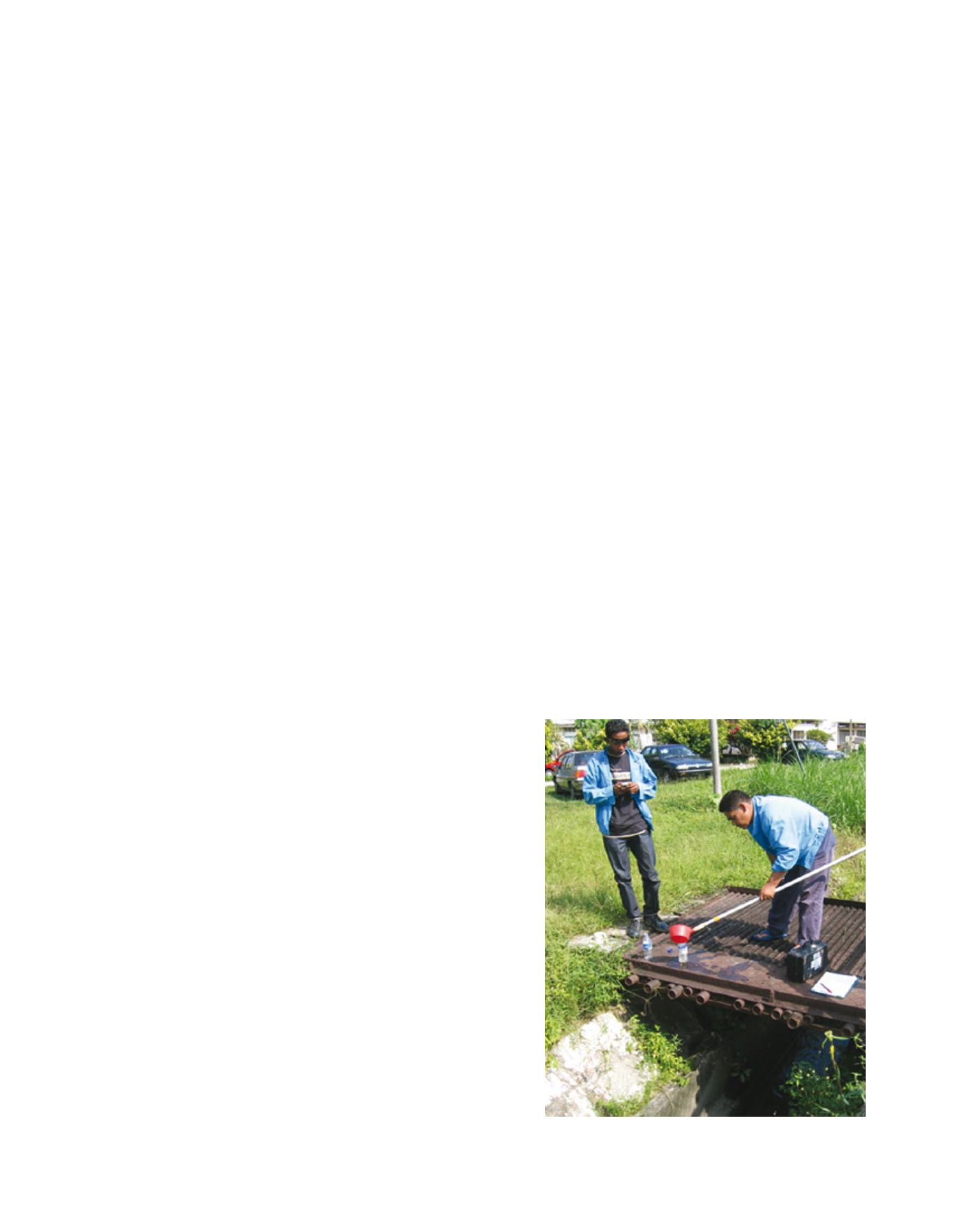
Field research on water quality
Image: REDAC USM