


 304 / 336

[
] 304
Sharing water observations: turning local
data into global information
Dr Harry Dixon, Professor John Rodda and Professor Alan Jenkins,
Centre for Ecology and Hydrology, UK; Professor Siegfried Demuth, United Nations Educational Scientific
and Cultural Organization; and Ulrich Looser, Federal Institute of Hydrology, Germany
M
inimizing risks of losses or injury to individuals,
businesses and communities is a shared goal of scien-
tific institutions, public and private enterprises and
government. In terms of natural hazards, some of the most
serious sources of risk emanate from floods, droughts and tropi-
cal storms. To combat these and similar events it is vital to
measure their severity, frequency and extent, to record these
data, then to apply and disseminate them.
Data describing the freshwater environment are employed for a great
variety of practical purposes which have changed with time. Flood
prevention was one of the earlier uses of rainfall and river flow data
while the development of canals, hydropower and reservoirs followed.
Control of water pollution required water chemistry measurements and
these are also needed with observations of rainfall, run-off and ground-
water levels for water resources management. Evaporation and soil
moisture measurements are valuable for irrigation. Robust, lengthy and
varied hydrometeorological measurements are central to global change
studies. Employing reliable data to forecast, predict and
understand hydrological processes reduces risk in each of
these contexts: risk of failure through inadequate design
and risk of financial loss.
Collecting reliable and representative hydrome-
teorological data, however, is difficult. The natural
environment is hostile to instruments; conditions are
continually changing. Measurements of extremes, such
as heavy rainfalls and flood peaks, are particularly prob-
lematical. They are best made over long time periods and
point measurements should be representative areally.
With the advent of observations from satellites and
weather radar the problem of spatial coverage has been
eased, but such technologies do not currently offer the
levels of accuracy required for many uses. As a result,
ground-based measurements of the water cycle remain
some of the most essential environmental data collected
around the world. At the core of such water data lie
I
nternational
C
ooperation
on
W
ater
S
ciences
and
R
esearch
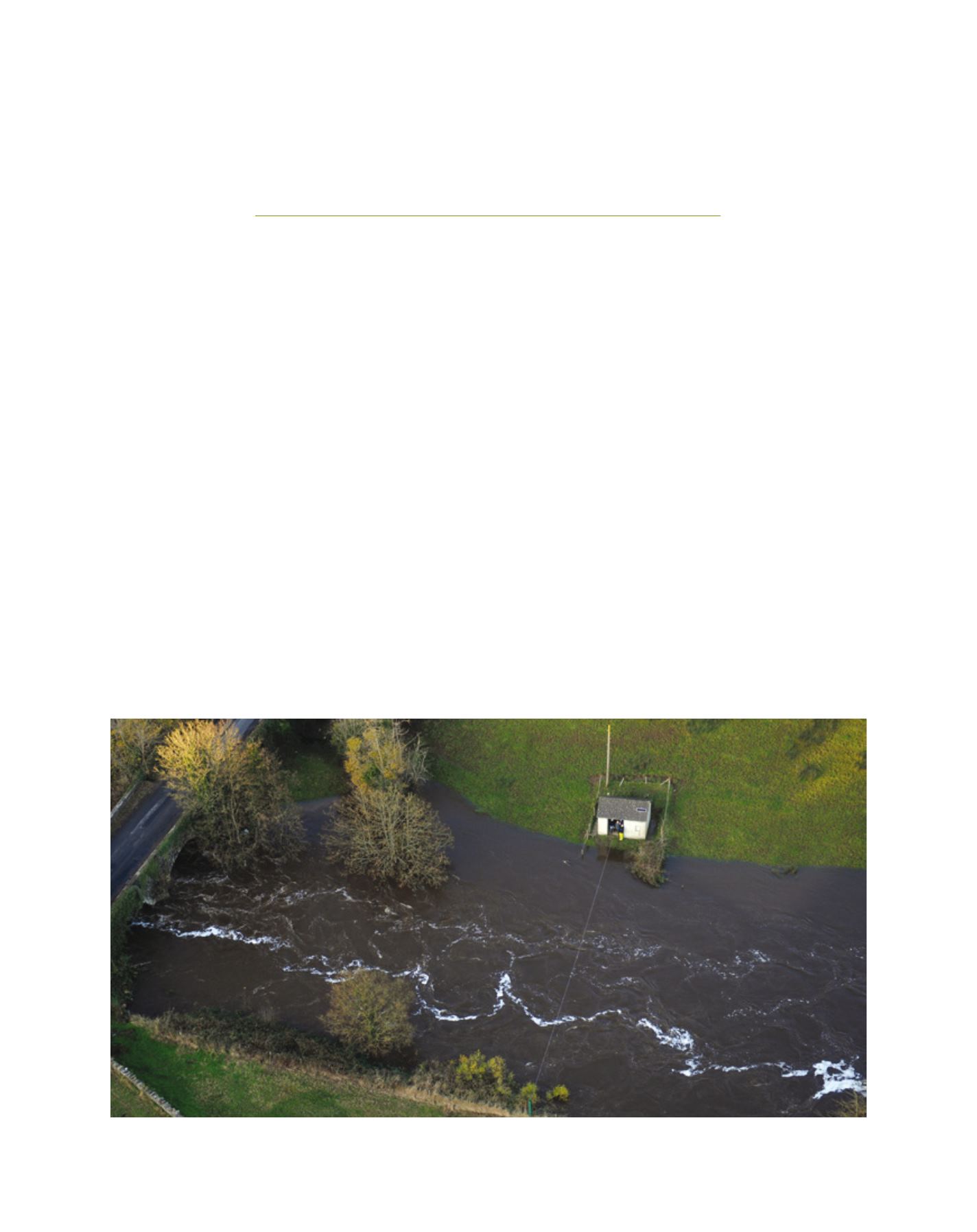
River flow gauging on the River Blackwater in Northern Ireland during a flood event in November 2009
Image: Rivers Agency, Northern Ireland