


 317 / 336

[
] 317
I
nternational
C
ooperation
on
W
ater
S
ciences
and
R
esearch
land degradation an water scarcity in drylands also face these chal-
lenges, and have sometimes had to admit collective failure. Following
these experiences, considerable comparative achievements have been
made through WLI so far, and the lessons learned may be useful in
enabling the transition from a single-donor initiative to a successful
multi-donor scientific cooperation and collaboration across MENA.
The available literature on communities of practice and collective
action highlights the need for groups to identify common objectives
and establish trust through standard procedures for evidence-
based decision-making and an agreed plan of action. Three years of
consultation enabled WLI to develop a set of common objectives to
demonstrate that integrated land and water management can improve
the livelihoods of rural households. Another three years of seed-
funded collaborative field testing work by ICARDA, NARES and US
and MENA universities has nurtured a budding research for devel-
opment initiative, which could bear fruit. There is now a need for
this to be collectively recognized and projected across an appropriate
timeframe for sustainable land and water management
impact – i.e. at least 10 years.
Innovative approaches for research and
development
WLI is a grounded, site-based initiative that brings inter-
national partners to the field, not just the debating table.
It follows the proven ‘Water Benchmarks’ approach estab-
lished by ICARDA for various agro-ecologies, whereby
scientific cooperation concentrates donor support for
pilot testing of integrated water, land use and livelihood
strategies developed at selected sites across the region. The
critical mass and layering of successive investigations at
these sites ensures that a strong body of data and analysis
from different disciplines is available to track and verify
the effects of land and water management strategies and
technologies, and evaluate their suitability for scaling up/
out to other areas of rain-fed, irrigated and rangeland agro-
ecosystems. Much of the research is participatory, and is
often carried out with farmers on their own land.
WLI donors and partners are committed to working
together in the drylands and enjoy spending time in the
field with collaborators and beneficiaries. However, some
WLI sites are in areas difficult to access. To keep track of
the WLI research teams’ progress and share information
among research partners, beneficiaries, donors and the
public, WLI has established a monitoring and evaluation
system using USAID’s Feed the Future indicators.
Moving beyond the tracking of progress, USAID has
championed the projection and measurement of liveli-
hood impacts from improved land and water management
throughWLI in the belief that these are at the heart of every-
one’s development agendas. The WLI teams have adopted
only a small number of indicators that are already opera-
tional or can be operationalized during the coming year,
without resorting to using an over-burdensome system.
Although no indicator alone captures impact, together
they provide the best available means to do so. Other
international scientific initiatives, including several funded
through the European Union and the Global Environment
Facility, have previously designed and operationalized such
a system, but were not able to design a system that would
be acceptable to all concerned national governments and
donors. Through WLI, instead of endlessly searching for a
perfect blueprint, the system can be declared operational
when it is already in place across the region. This is thanks
to scientific support from ICARDA and participating
universities, which has given the NARES the confidence to
adopt workable methodologies and benefit from a network
of peer-reviewers to improve them.
Cooperation to measure impacts
Creating an operational system for monitoring progress
in integrated land and water management to improve
rural livelihoods was a daunting task that none of the
partners could have achieved alone. Although research-
ers and resource managers intuitively knew that they
were improving rural livelihoods by enhancing land
and water management, most were not well-equipped
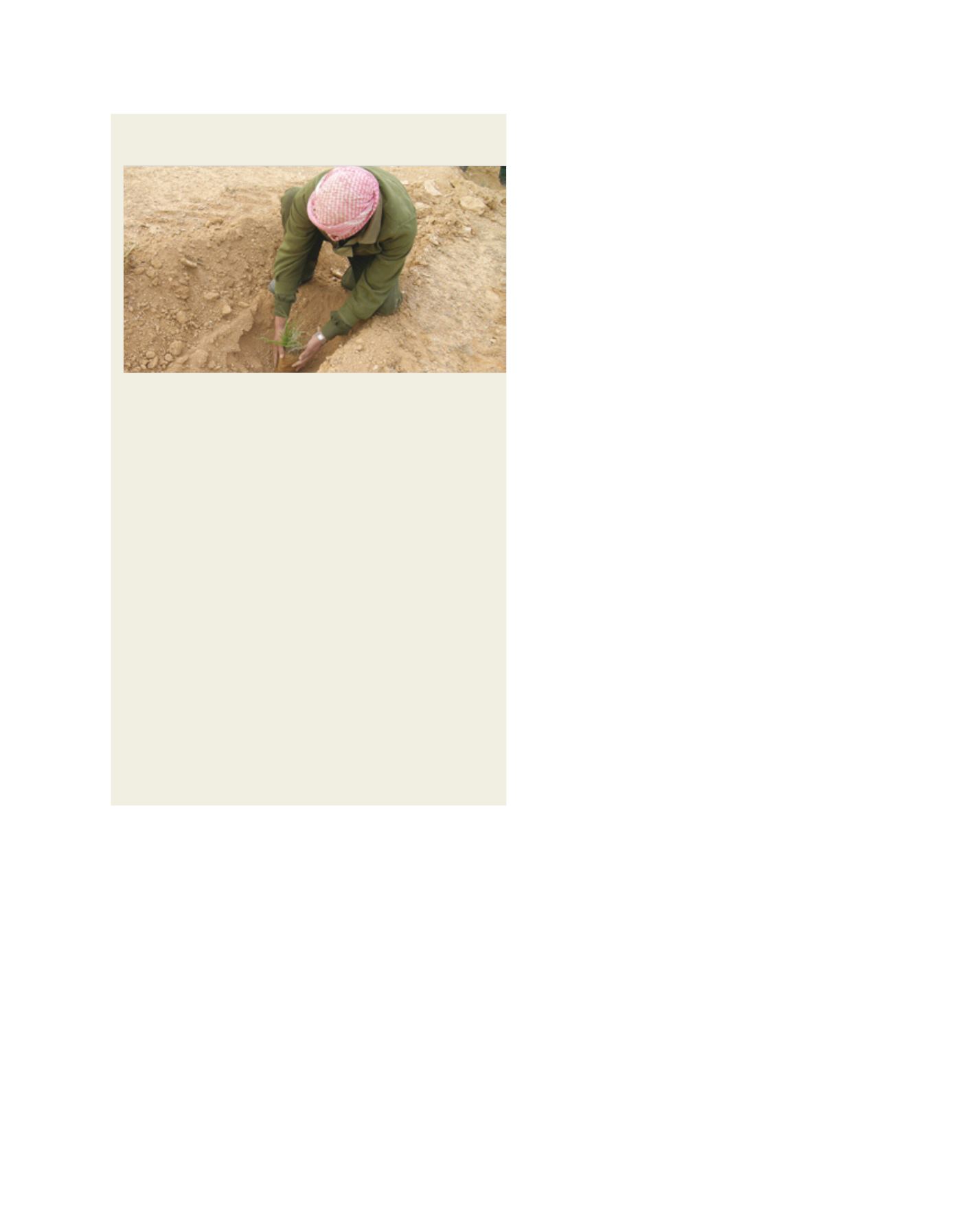
Image: T. Oweis
Modelling the effects of improved on-farm water management
at the basin scale
Land and water management technologies, such as the microcatchment
water harvesting technique practised in Jordan, use the landform to collect
scarce water resources, conserving them in the soil and increasing water
availability for natural plant growth or crop production. Collected water is
used to supply barley fields and shrubs through a series of constructed
basins and outlets. Farmers have to be prepared to invest labour in
construction and maintenance of the systems, and require skills to evaluate
and maximize their effectiveness. The Jordanian National Center for
Agricultural Research and Extension (NCARE) works in collaboration with
farmers and farmers’ associations to demonstrate and transfer these skills
through practical experimentation on farmers’ own land, and organizes field
days for farmers and decision-makers to view the results. Methodological
support for the use of focus groups and other rapid appraisal techniques is
provided through collaboration with the University of Florida and ICARDA’s
Socioeconomic, Gender and Policy Research Program.
Collaborative studies undertaken with the Jordanian University of Science
and Technology and Texas A&M have introduced a soil water assessment
tool to model the effects of the water harvesting on hydrology, erosion and
vegetation. Scientific exchanges involving WLI research teams from other
countries, ICARDA and IWMI have introduced the research team to water
evaluation and planning tools for assessment of the water balance at basin
scale. Researchers from the University of Illinois at Urbana Champaign have
introduced consideration of downscaled global climate models and climate
change scenarios. From 2014 collaborative research and cooperation will
enable the WLI teams to project future basin-level water balance scenarios
with and without water harvesting and other integrated land and other
water management practices.
Water harvesting involves the collection and conservation of scarce rainwater
resources to increase water availability for plant growth and combat desertification