


 177 / 192

[
] 177
Image: WOTR
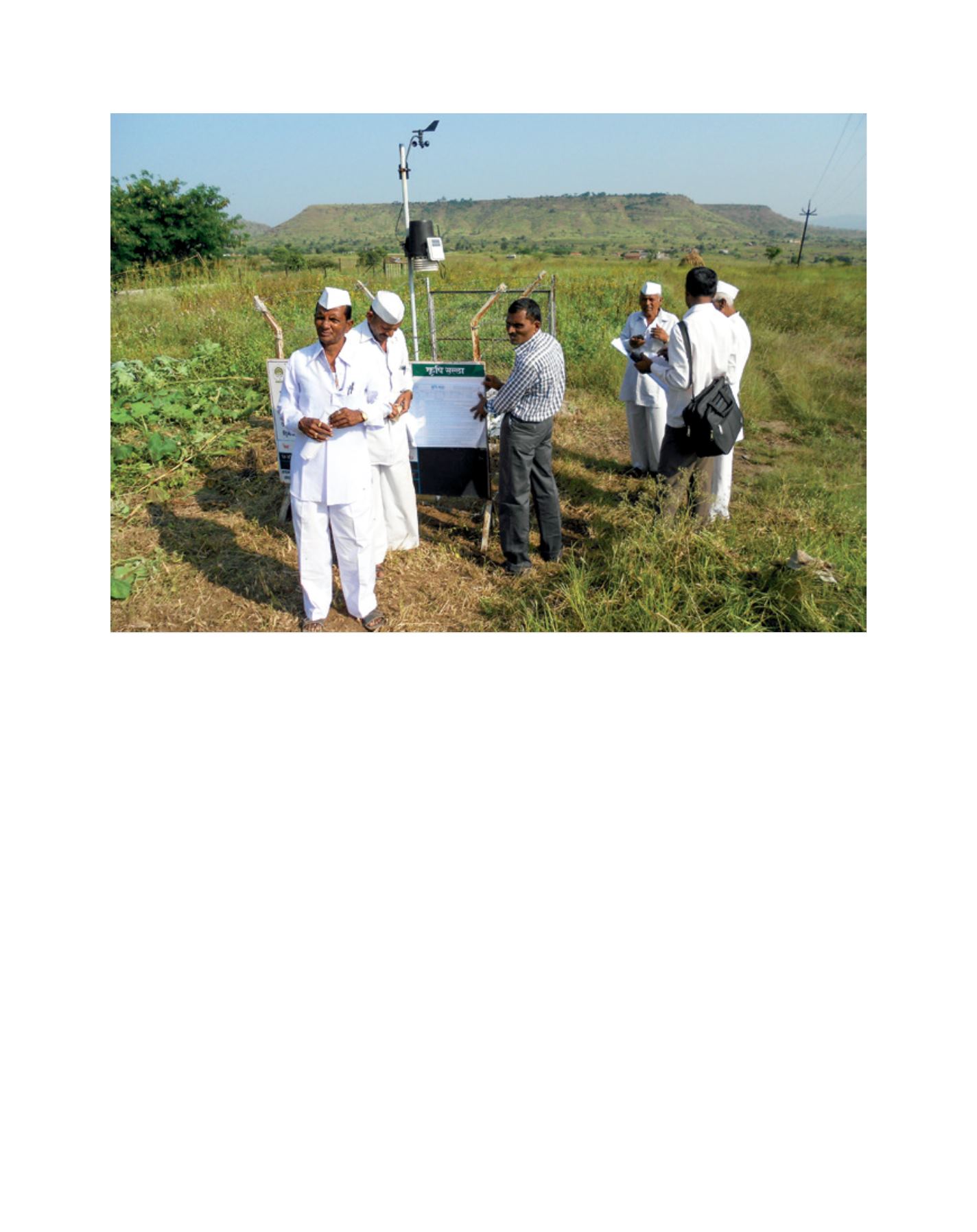
Community members in Wankute collect data from an agrimet station
works implemented with the support of WOTR. Satellite
image analysis shows that the area under vegetation cover
in project villages increased by more than 500 hectares, or
almost 30 per cent, between 2009 and 2013. This can be
attributed to plantation and grazing regulation and monitor-
ing activities done under watershed development projects by
WOTR and other government project implementing agencies.
Besides the impact on land restoration and arresting degra-
dation, the interventions under the project have had tangible
impacts on the livelihoods and well-being of local communi-
ties. While the pre-project intervention was characterized by
widespread reliance on daily wages, the end-line assessment
of the project found that the average number of days where
people are engaged in primary occupation (agriculture) has
increased by 16.8 per cent (from 184 days to 215 days) post-
project implementation. Further, due to poor land conditions
within the village, in the pre-project period 22.7 per cent of
the individuals reported temporarily migrating in search of
labour. Post-project data indicates a 29 per cent reduction
in the number of individuals reporting temporary migration.
As part of a more holistic approach to rural well-being,
WOTR monitored the nutritional status of children of the 16
villages using the weight-for-age measure. There was a 25.9
per cent decrease in ‘Grade III’ malnutrition and during the
same period an increase of 37.1 per cent in ‘normal’ grade
children was noted.
Concerning the aggregate benefits of watershed interventions,
the World Resources Institute calculates that the net present
value of a project implemented by WOTR in Kumbharwadi
village in Sangamner ranged from US$5,573 to US$8,172 per
hectare treated or US$29,650 to US$43,479 per household,
with a benefit-cost ratio that ranged from 2.28 to 3.76.
To move to scale, WOTR has developed a suite of tools, meth-
odologies and implementation processes. The Community Driven
Vulnerability Evaluation —Programme Designer (CoDriVE-PD)
for adaptation planning identifies key vulnerabilities early on in
the project design and integrates these variables within the project
framework so as to minimize adverse impacts and ensure that the
project is able to achieve the desired outcomes.
Given the complexity of the challenge presented by land degra-
dation and climate change, it is apparent that any effort to respond
to these problems would require collaboration among various
stakeholders, both state and non-state. This project brought
together experts from complementary fields — NABARD, SDC,
the Central Research Institute for Dryland Agriculture, local
agriculture universities, the International Centre for Research in
Agroforestry, and the support of the Government of Maharashtra.
WOTR’s work demonstrates that with appropriate support,
communities are able to co-create a sustainable natural resource
base and leverage the possibilities presented by innovations in
information technology to develop inclusive governance of shared
resources and increased access to benefits for all.
L
iving
L
and