
[
] 156
form of maps with sufficient resolution to support national and
global decision-making. The kinds of details required could include
ecosystem properties such as leaf area, phytoplankton bloom
dynamics, primary production, net carbon exchange, energy and
water exchange and supporting data such as topography, land use,
geology and soils.
Achieving this breadth and depth of information will require the
building of an expanded and coordinated network of land, ocean
and coastal reference stations. More sensors and platforms are
needed, such as synthetic aperture radar and hyperspectral imagers,
airborne optical sensors, molecular tools for studying the microbial
ecology of marine systems, self-contained flow cytometers for clas-
sifying phytoplankton and bacteria, and underwater laser imaging
and scanning techniques for detecting terrestrial ecosystem struc-
tures. Many other sophisticated instruments are now available, or
under development.
Finally, all of the existing and emerging instruments and systems
that make up national, regional and global networks need to be inter-
linked through GEOSS, and their data and results need to be made
more readily available in user-friendly formats.
Agriculture
Supporting sustainable agriculture and combating desertification is
essential in a world where, according to the UN Food and Agriculture
Organization, approximately 830 million people are chronically
undernourished. The causes of this widespread malnutrition are
complex but primarily linked to poverty. Increasingly variable climate
conditions also play a role, particularly in the African subcontinent,
where desertification and irregular rainfall combine with
weak economies to exacerbate the spectre of hunger.
GEOSS will help to alleviate this continuing humani-
tarian crisis through the more rigorous monitoring of
poverty, food supplies and the exploitation and manage-
ment of productive lands and ocean areas. Improved
environmental information will also enable international
relief organizations to plan their activities more effectively.
Other benefits will include the early warning of droughts
and floods, more adaptive farming practices, and
improved management of fisheries and grazing lands.
Although great strides have been made in recent
decades with respect to the availability and accessibil-
ity of information, improvement is needed. In particular,
there is a need for trained personnel and dedicated
funding to support the integration of in situ and remote
sensing data. The archiving of data in developing coun-
tries is also a critical need. Fortunately, the majority of
monitoring requirements can be met through existing
Earth observation systems.
New, relevant and comprehensive data products built
around the flow of Earth observation data are also
needed to assist policy makers as they analyse and plan
for the future nutrition requirements of their popula-
tions. To respond to these challenges, GEO is
coordinating efforts in four main areas: land resources
(land use and degradation - crop production, soil char-
acteristics and forestry assessment); freshwater resources
S
OCIETAL
B
ENEFIT
A
REAS
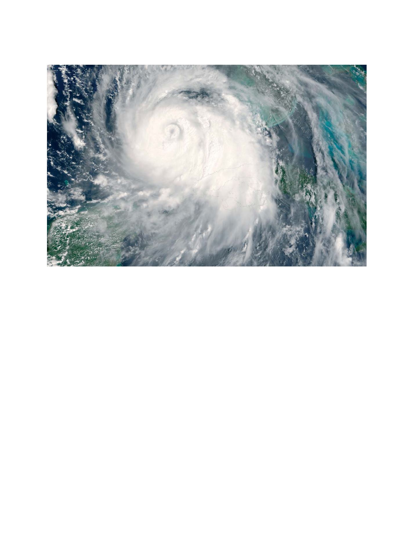
Improving weather information, forecasting and warning will reduce the risks of extreme weather events


