
[
] 21
Understanding the full extent of data and systems available
(and needed) for sharing
– observations systems, data-
bases, metadata, information systems, derived
information and products, etc.
Data policy framework
– data exchange, sharing, access,
publication, forwarding, cost (free and unrestricted vs.
charge for use)
Mapping and grids for geographic referencing of data
–
such as spatially distributed (e.g. satellite imagery),
point-value data (e.g. in situ surface-based instrumen-
tation) and trajectories (e.g. disease vectors)
Standards
– for observations, data and metadata
formats, storage, transmission, etc.
Data access mechanisms
– such as web-based portals
and information access interfaces. Recognizing there
will be a range of technical sophistication amongst
members contributing and accessing data
Infrastructure for data access
– e.g. low cost satellite
reception, bandwidth-friendly communications
Data and database management systems
– shared and/or
interoperable
Methodologies and assimilation systems
– for mixing data
of different spatial and temporal characteristics, as well
as spatial and point data, real-time and historical data
Guidance and standards for digitization of paper records
– to optimize electronic cataloguing and availability of
data, and to support effective data rescue programmes
Capacity building requirements
– to enable benefits of
GEOSS to be exploited for decision making; training in
lishment of new systems, but the ownership of those systems remains
with the members or groups of members.
A fundamental contribution of GEOSS, and the area where it can
add unique value, is through the definition of an effective interop-
erability framework through which the data from the various
systems, disciplines, earth system regimes and socio-economic
benefit areas can be exchanged, shared, integrated, distributed and
– critically – used. Even within individual socio-economic benefit
areas, the challenge of bringing together regional and global commu-
nities to harness experience, to develop common solutions to shared
problems, or to implement successful practices and systems in less
developed countries, will require a robust common operating frame-
work. To share data between entirely different user communities is
an even greater challenge, but the rewards of addressing the cross-
disciplinary nature of GEOSS successfully would be immense.
An interoperability framework is much more than defining
common data formats and protocols. It is much more than defining
a geospatial reference framework against which spatially distributed
and point-value data can be mapped. An effective interoperability
framework will take into account not just the characteristics of the
data, but the characteristics of the systems themselves, the owners
of the systems, the rationale for gathering the data, and the require-
ments of the existing and potential users of the data.
It follows, therefore, that an effective GEOSS interoperability
framework will be complex and multidimensional, and it will evolve
as the envelope of membership, systems and users expands. Some
key aspects that need to be considered in defining an interoper-
ability framework include:
Understanding user needs and capabilities
– for using and accessing data
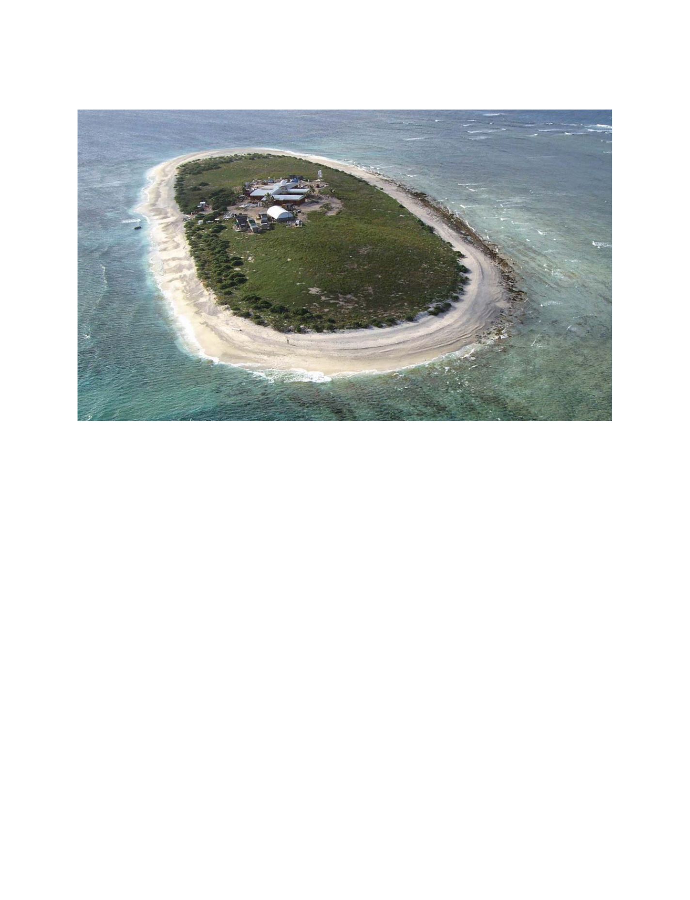
The Willis Island Observing Office, which is operated by the Australian Bureau of Meteorology, is illustrative of the
many dimensions of meteorological observations, from early warning of tropical cyclones to global climate monitoring
Photo: Roger Meagher
N
ATIONAL
& R
EGIONAL
R
EPORTS


