


 25 / 280

[
] 25
Agriculture/Forestry
– supporting sustainable agricul-
ture and forestry, and combating land degradation
Biodiversity
– understanding, monitoring, and conserv-
ing biodiversity.
FEOS intends to improve coordination of efforts, address
critical gaps, promote common standards and sharing
of information, and lead to better understanding and
satisfaction of user needs.
Achieving the long-term benefits of FEOS will require
close and ongoing collaboration between all federal
departments and agencies involved in CGEO while
respecting the mandates of all of the organizations.
Successful implementation of FEOS will require that
appropriate mechanisms and resources, existing or new,
be mobilized toward achieving the shared interdepart-
mental long-term outcomes.
An integrated monitoring, assessment and
prediction network
The development of a national EO approach is an impor-
tant step in developing a common vision and in focusing
EO communities’ efforts. Engaging in discussion and
Strategy (FEOS) in conjunction with other levels of government,
industry and academia. The ultimate aim is to develop a truly
national partnership and plan. FEOS is intended for senior decision
makers whose responsibilities include EO, the generation of infor-
mation products based on EO, or the use of EO to achieve benefits
for Canadians.
The objective of FEOS is to ensure that Canada’s non-military
needs for high quality and sustained information on the state of the
Earth are met as a basis for policy and decision making in every sector
of society. The FEOS is founded on and is meant to complement
existing programs, focusing initially on nine societal benefit areas:
Disasters
– reducing loss of life and property from natural and
human-induced disasters
Health
– understanding environmental factors affecting human
health and well-being
Energy
– improving management of energy resources
Climate
– understanding, assessing, predicting, mitigating and adapt-
ing to climate variability and change
Water
– improving water resource management through better
understanding of the water cycle
Weather
– improving weather information, forecasting, and warning
Ecosystems
– improving the management of terrestrial, coastal, and
marine ecosystems
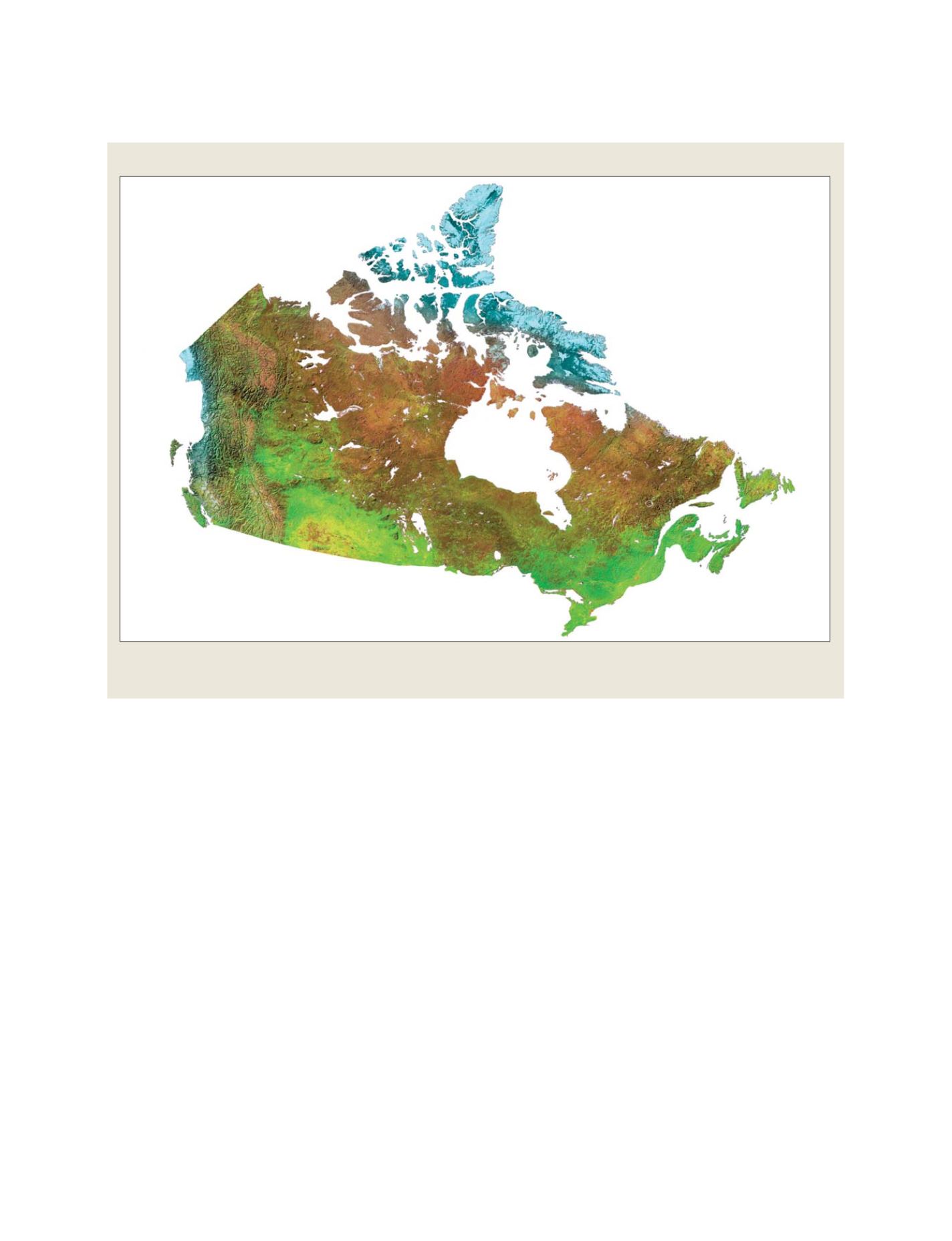
Satellite image of Canada
Canada has a 9.1 million-km
2
landmass that comprises a variety of climates including a large Arctic area.
It also has the longest coastline in the world at 243,000 km
Source: Natural Resources Canada
N
ATIONAL
& R
EGIONAL
R
EPORTS