


 17 / 288

[
] 18
A
griculture
Similarly, herders in arid and semi-arid areas are
vulnerable because of highly variable and scarce rainfall.
Over-exploitation and degradation of natural resources,
remoteness, poor livelihood assets and fewer opportuni-
ties for diversificationmake themmore vulnerable. Timely
and accurate climate information can be of great help to
reduce their vulnerability.
Food security information systems
Climate information can be combined to livelihood
analysis and market information systems, to improve
early action planning to overcome food stress situations.
As large and widely dispersed populations depend on
rain-fed agriculture and pastorals, climate monitoring
through automatic weather stations and forecasting are
important inputs to food security analysis and humani-
tarian responses.
Satellite rainfall estimates, remote sensing techniques,
ensemble forecasting and crop yield forecasting offer
significant opportunities for protecting agricultural liveli-
hoods and better responding to food-related emergencies.
Timely and effective humanitarian aid will provide
households with opportunities to engage in productive and
sustainable livelihood strategies. FAO’s Global Information
and Early Warning Systems (GIEWS) is mandated to keep
risk management plans if exists. Strengthening of fishers’ coopera-
tives, community networks on interpretation of climate information
and decision-making are the priority.
Reaching the most vulnerable
Mountain regions cover about one fifth of the Earth’s conti-
nental areas, and are characterized as sensitive ecosystems.
Remoteness, marginal environment, heavy dependence on agri-
culture and livestock, land degradation, frequent occurrence of
extreme climate events and non-availability of proper agricul-
tural support services make them highly vulnerable to climate
variations. There is a need for locally relevant early warning
systems which are often felt to reduce vulnerability and protect
lives and livelihood assets.
FAO’s work in many countries promotes locally relevant commu-
nication protocols, and community networks to facilitate sharing of
climate information between farmers and herders, enabling them to
better manage climate risks and reduce their dependence on external
assistance. For example, in the Bolivian Andes, technical assistance
was provided to improve weather stations, prepare vulnerability and
risk maps, and set up an automated early warning system proto-
col linking the national meteorological and hydrological services
(SENAHMI), risk management centres and community risk manage-
ment teams in Potosi Department, which is more than 4,000 metres
above mean sea level.
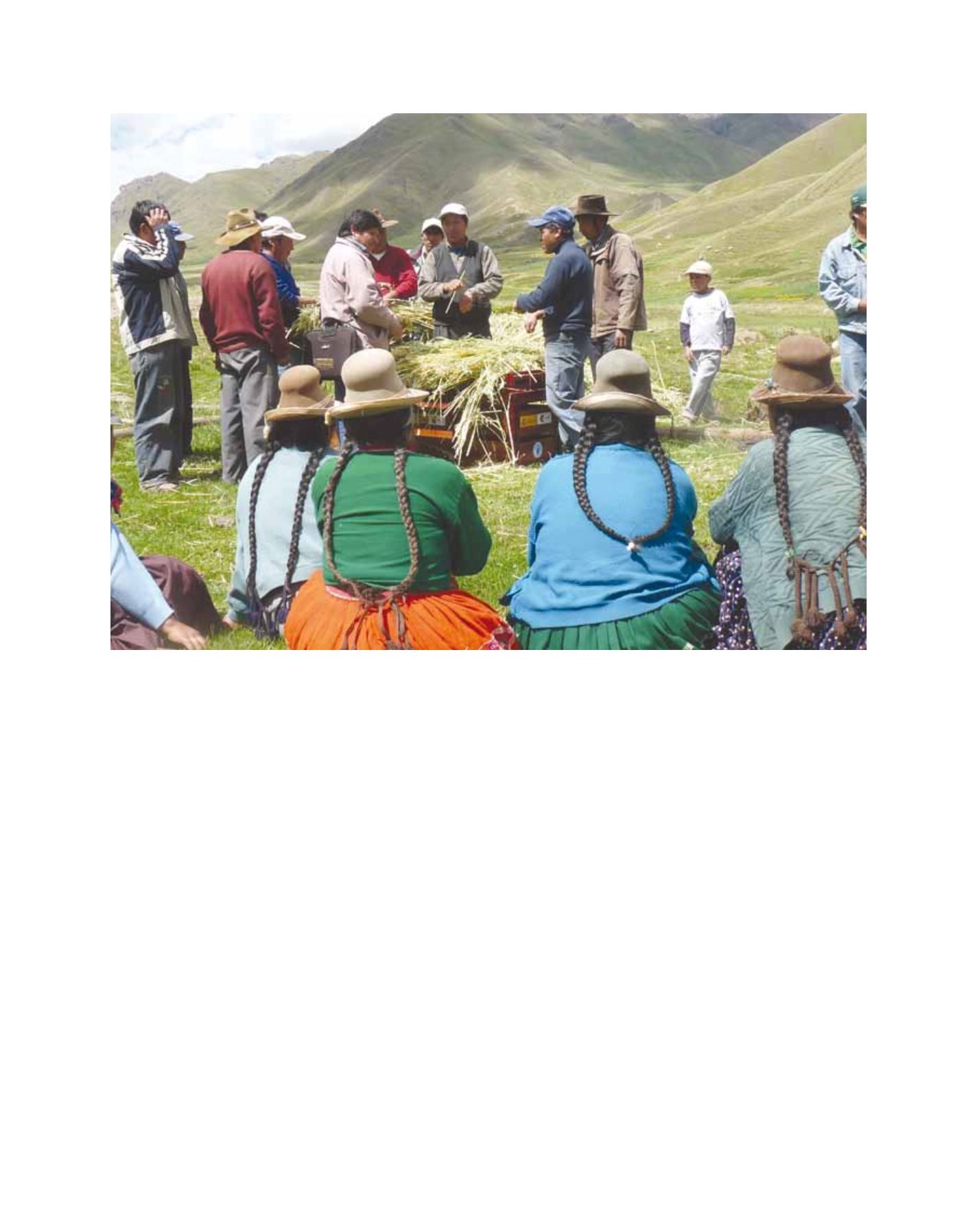
Farmer groups in Highlands of Peru discussing climate risk management options
Image: FAO