


 116 / 336

[
] 116
W
ater
E
ducation
and
I
nstitutional
D
evelopment
with Reclamation, the Tennessee Valley Authority and
the US Army Corps of Engineers, the software employs
a ‘click and drag’ graphical user interface that greatly
improves usability. Moving to an alternative platform
was a sizeable task requiring considerable commit-
ment to redevelop a model that exactly reproduced
the FORTRAN results. Ultimately, this investment led
to a significant expansion of CRSS use, both within
Reclamation and with stakeholders. The new model
also enables the incorporation of new operational
polices, increased detail and new model needs, all with
relative ease.
Commensurate with the commitment to long-term
planning tools and capabilities is the commitment to
strong relationships within Reclamation and other
federal agencies, and across the broad range of state,
local and non-government stakeholder groups.
Acceptance of a common modelling platform and
regular discussion has helped foster mutual trust among
the players involved in managing – and using – the
river’s resources, evident through numerous success-
ful undertakings in recent decades. These collaborative
efforts have received high praise in the past several
years, twice culminating in the US Department of the
Interior’s Partners in Conservation Award. Given poten-
tial pitfalls, varying objectives and the ever-changing
dynamic of the Colorado River basin, maintaining exist-
ing partnerships and cultivating new ones continues to
be a high priority for Reclamation.
Under the auspices of the US Department of the
Interior’s WaterSMART programme, Reclamation and
the seven US basin states commenced the Colorado
River Basin Water Supply and Demand Study in 2010
in collaboration with a broad range of stakeholders
Even with this phenomenal water capacity, the Colorado has
become strained in recent decades due to the combined effect
of overallocation of water and an unprecedented drought that
continues today. With climate change threatening to reduce flows
even further, long-term planning is more important than ever.
In response, the US Department of the Interior launched several
programmes that focus on climate adaptation and long-term plan-
ning, programmes that incorporate forward thinking, collaboration
and expanded science to elevate water planning and management
to new – and needed – levels.
For these programmes to succeed, benefits from previous invest-
ments, buy-in from stakeholders and significant groundwork by
the entities involved are all necessary. Although Reclamation oper-
ates many of the large water storage and conveyance projects in the
western United States, the water is apportioned at the state level;
hence, involvement from those respective state agency representa-
tives is especially critical. Owing to the complexity and size of the
basin, Reclamation has made investments over recent decades in
long-term planning on the Colorado, both in technical tools and
stakeholder relationships. They are the essential foundation for
comprehensive management and long-term planning.
Approximately 35 years ago, Reclamation began developing a
computer model of the Colorado River basin, the Colorado River
Simulation System (CRSS), to address the many ‘what if’ questions
arising from proposed development or changes in river opera-
tions. For roughly the first 20 years of its existence, the model used
FORTRAN programming language. Over time, it evolved in size
and complexity, growing to tens of thousands of lines of code and a
commensurate associated data.
In the mid 1990s, the model was implemented in the RiverWare
TM
modelling platform to better accommodate the intricacies of the
Colorado River system and promote stakeholder access. Developed
at the University of Colorado’s Center for Advanced Decision
Support for Water and Environmental Systems and in conjunction
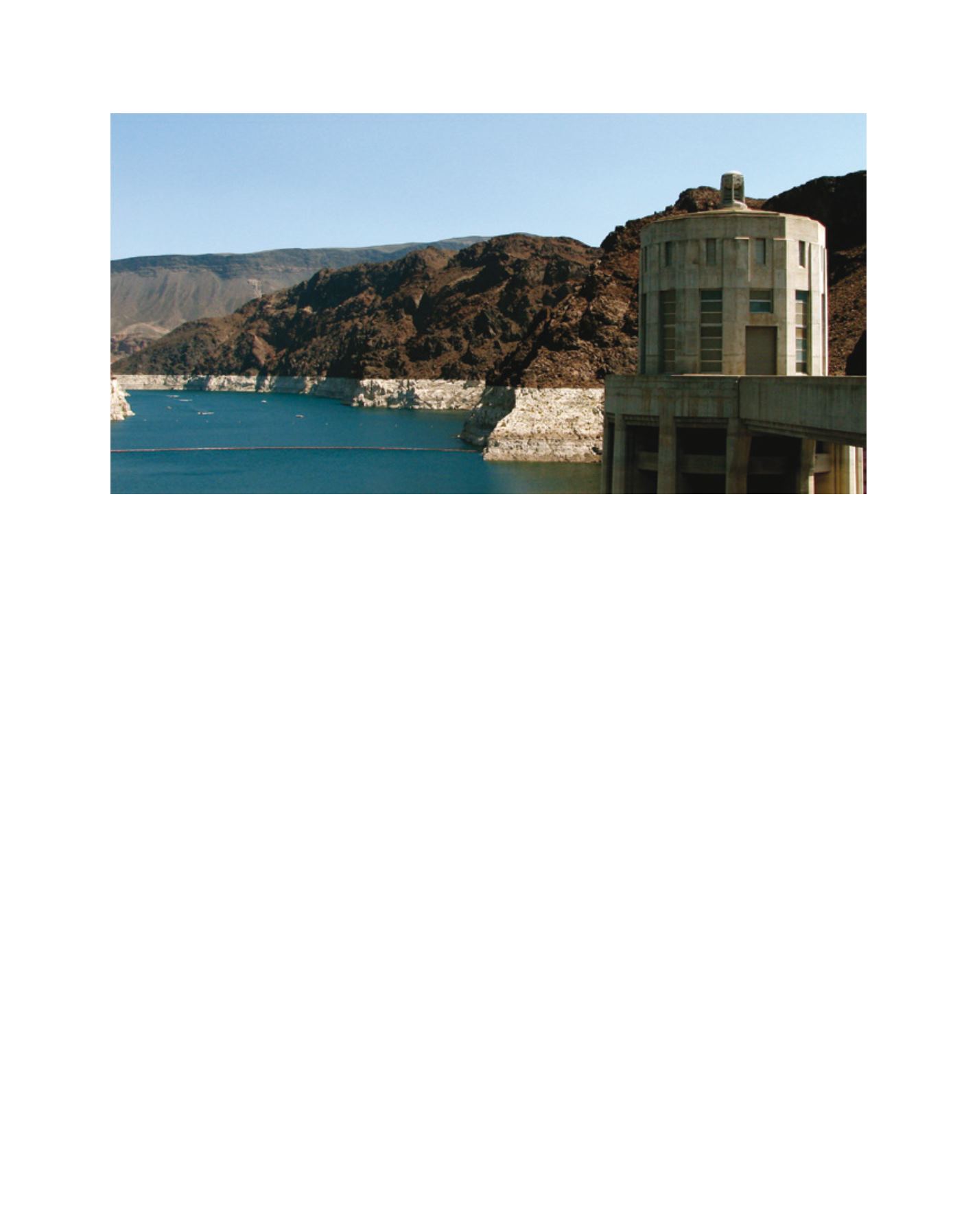
Lake Mead, seen from the Hoover Dam – low water levels reveal the ‘bathtub ring’
Image: Lori Warren, Black & Veatch