


 55 / 336

[
] 55
T
ransboundary
W
ater
M
anagement
The Aral Sea has been considered one of the world’s biggest
environmental disasters. The lake, one of the largest in the world
in the 1960s, was nearly sapped dry by a Soviet plan to divert water
to irrigate vast cotton fields. The shrinking of the Aral Sea virtually
destroyed the region’s fishing industry, an important ecosystem,
left a legacy of pollution with health implications, and is believed
to have led to more extreme weather.
The 2,200 km Syr Darya is the longest river in Central Asia.
It starts with the confluence of two tributaries in the Tien Shan
mountains in Kyrgyzstan and flows downstream into the Ferghana
Valley in Uzbekistan. Within the Ferghana Valley, 33 tributar-
ies contribute to the river flow that enters Tajikistan and fills the
Kairakkum Reservoir. Tajikistan lifts water from the reservoir to
irrigate area farms. From the reservoir, the Syr Darya flows back
into Uzbekistan and across southern Kazakhstan before terminat-
ing in the Aral Sea.
Under the Soviet regime, crops were mainly grown in the down-
stream plains, with livestock primarily raised in the upstream
mountains. Although an extensive amount of water management
infrastructure existed downstream, there was mainly large-scale
infrastructure upstream on the main tributaries and very little on
the small transboundary tributaries. For example, only about half
a dozen tributaries have seasonal upstream dams, and
they are poorly maintained.
In the Syr Darya basin, nearly 80 per cent of the water
was lost due to infrastructure problems compared with
an average of 60 per cent in developing countries,
according to IWMI research published in 2004.
Water user associations (WUAs)consisting primar-
ily of farmers were established in the Kyrgyz part of
the two basins in the late 1990s as part of a World
Bank-financed project. Within the two basins IWMI
started to promote the associations on the Tajik as
well as Uzbek side in 2007, as well as strengthening
the existing WUAs in Kyrgyzstan. The goal was for
association members to make key decisions on opera-
tions, development plans and strategy.
IWMI started work on the two tributaries as pilot
projects in 2007, organizing workshops to extend
cooperation across borders and discuss technical
matters of mutual interest. Critical times were iden-
tified, such as the water-scarce months of the early
spring and autumn, and the heavy rain months which
might cause mud-flows.
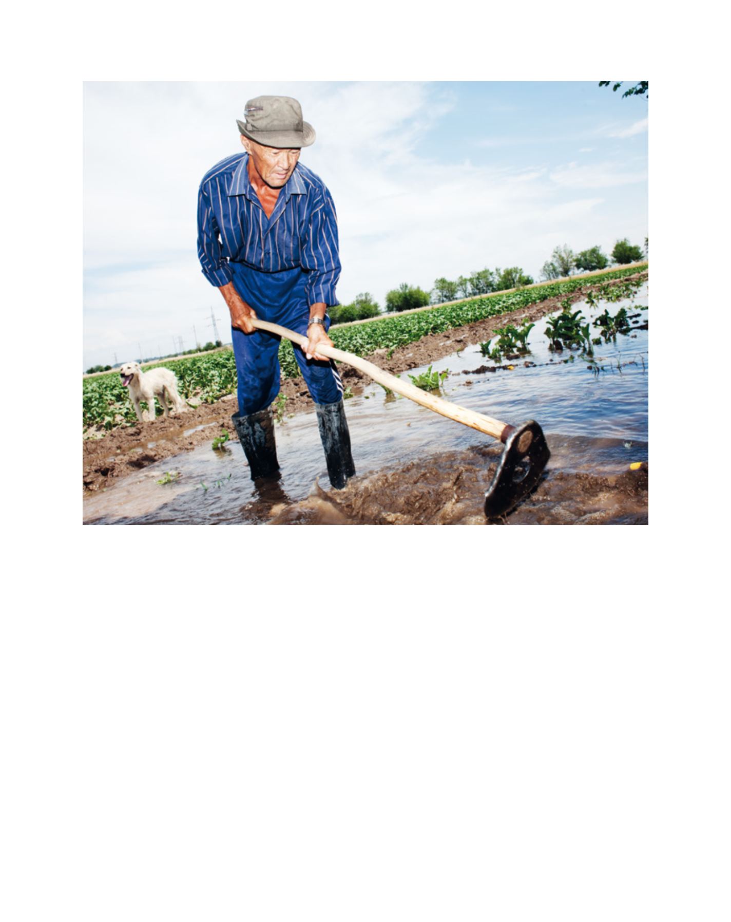
Livelihoods in the region are vulnerable to water variability
Image: Ikuru Kawajima/IWMI