


 59 / 336

[
] 59
T
ransboundary
W
ater
M
anagement
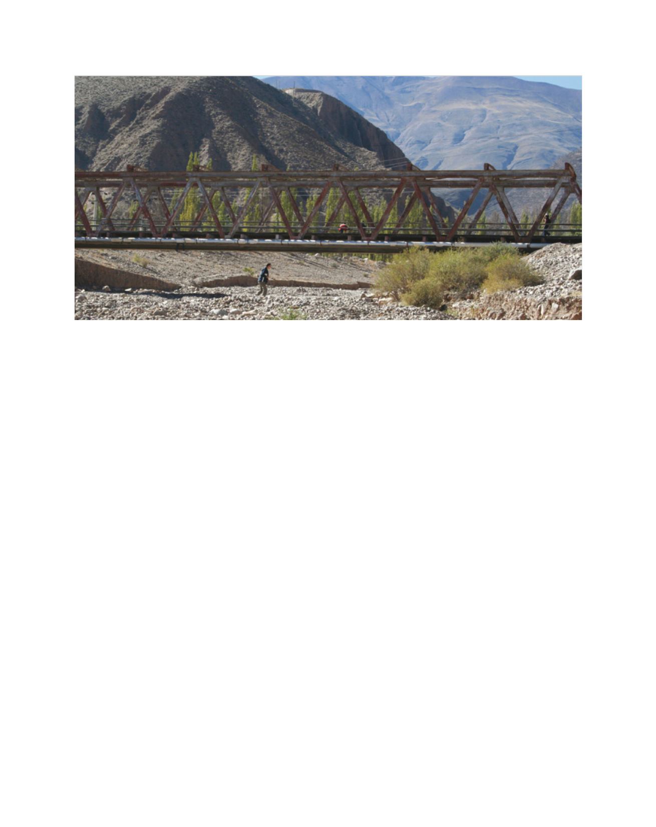
routes are prone to fall out of function due to natural hazards. Many
river defence works have been undertaken in the past to locally
reduce natural hazard impact, such as retention dams to protect
the main road from lateral landslides. The river system shows a
variety of natural hazards. Lateral hazards such as debris flows and
landslides constantly threaten to dam the main river, causing a lake
behind the obstacle and an outburst to infrastructure below it. Some
precipitation and discharge measurements are done, but the denser
network needed for detailed information does not exist. Therefore,
information about precipitation and discharge are not sufficiently
available for local use.
Regarding the possibilities for future cooperation between
COBINABE and CHR it was stated that in the Rhine basin a lot of
experiences are available in the field of economic, social and ecologi-
cal impacts of sediments. Much information related to institutional,
administrative and legal aspects can be transferred and adapted to
other regions. COBINABE emphasized that many investigations
were carried out in the Bermejo basin, but that many unsolved
problems remain. Exchange of know-how, methods and procedures
between CHR and COBINABE could help to solve these problems,
and COBINABE is interested in working together on a project basis.
Although cooperation between CHR and COBINABE would be very
helpful, it has not been realized until now.
4
Current projects
The contract for a study on ‘Discharge percentage from snow
and glacier melt in the Rhine River and its tributaries’ was signed
in December 2012. The project team is a consortium compris-
ing the Albert Ludwigs University of Freiburg, the University of
Zurich and consultancy HYDRON GmbH. Important from an
organizational aspect is the incorporation of the Federal State of
Baden-Württemberg, through the State Institute for Environment,
Measurements and Nature Conservation (LUBW) in the project.
LUBW provides the high-resolution water management model
LARSIM 1x1 km.
The present activities focus on the collection and
accessibility of data sources, and on the methodologi-
cal aspects of the data processing. The latter relates to
questions concerning climatic reconstruction since 1901;
processing of snow data in the catchment up to Basel (by
cooperation partner SLF-CH); and activities related to
(empirical) data analysis with a conceptual aim. In Basel,
work is in progress to develop a suitable method for the
transfer of snow water equivalents that are calculated
from snow heights in a plain area to the ‘real’ catchment,
especially for high mountain regions. Regarding empiri-
cal data analysis, representative influencing variables for
the melting and accumulation processes of ice and snow
in the upper catchments should be identified through
the catchment overlapping comparison of processes. This
might help to transfer gained knowledge to modelled
data series in a later stage of the project.
Parallel consultations between the BfG and HYDRON
are taking place about a project-orientated further
development of the model LARSIM-ME (5x5 km). In
this part of the Rhine basin north of Basel, a separate
BfG contract will be assigned to improve height zoning.
In this way more height zones are designated in the grid
elements and temperatures are recalculated, resulting
in better reproduction of the modelled snow dynamics.
After the model improvement through height zoning
simulation, a simplified uncertainty analysis will be
carried out, so different model variants can be compared
and additional calibrations performed if necessary.
‘From source to mouth – A Sediment Budget of
the River Rhine’ is a project that runs from July 2012
until the end of 2014. Under the auspices of CHR,
BfG, in cooperation with the Aachen University
Institute of Hydraulic Engineering and Water Resource
Management, is in charge of the project.
The river bed in the Rio Bermejo basin
Image: CHR