
[
] 58
T
ransboundary
W
ater
M
anagement
onwards, pluvial elements prevail. Now the highest
run-off occurs in February, the lowest in September.
Past achievements
The Rhine Alarm model was developed with ICPR. It
was initiated by the Rhine Ministers conference after
the Sandoz accident in 1986 and accepted during
the 8th Conference of Rhine Ministers. Participating
institutes are the Federal Office for the Environment
in Bern (Switzerland), the Service de la Navigation in
Strasbourg (France), the Federal Institute of Hydrology
(BfG)in Koblenz, the Albert-Ludwigs-University of
Freiburg in Germany and Dutch organizations such as
Rijkswaterstaat in Lelystad and the Technical University
and Deltares in Delft.
The Rhine Alarm model delivers effective forecasts
at various alarm stations in cases of strong water pollu-
tion in the catchment. Forecasts of the travel time and
distribution of harmful substances are highly impor-
tant for all water users such as water boards and water
supply companies, in order to implement the necessary
measures in time.
The model covers the Rhine River from Lake
Constance to the North Sea, including the main tribu-
taries such as the Aar, Neckar, Main and Moselle. Input
to the model calculations includes the location and
conditions of the initial pollution, decomposition and
drift capacity of the harmful substances, discharges and/
or water levels, geometry and dispersion. Calibration of
the model was done by tracer tests. The model calcu-
lates, the concentration as a function of time as well as
the point of time and scope of the maximum concen-
tration for every alarm station along the Rhine. The
forecasts of progress time and concentrations are accu-
rate to about 89 per cent and 95 per cent respectively.
The knowledge of the Rhine Alarm model was incor-
porated into the set-up of the model for the Danube
River. For the Danube model a cross-flow of the pollu-
tion module has been implemented which is also
included in the latest version of the Rhine Alarm model.
So, what has started with a catastrophe in the past has
resulted in a well-implemented alarm model which
helps ensure better, timely reaction in urgent situations.
Knowledge exchange with other river basins (South
America to the Rio Bermejo) in Argentina took place
through a twinning project, with a site-mission and a
symposium held in 2007.
3
CHR’s counterpart was the
Binational Commission for the Development of the
Bermejo River Basin (COBINABE) in Argentina. During
the field visit the sediment problems in the upper part and
middle reach of the Bermejo river basin were addressed.
The basin of the Rio Bermejo has various types of
climates, with precipitation ranging from 200 mm/year
to over 2,000 mm/year within a few dozen kilometres.
Population density is quite low in terms of central
European countries. Main traffic routes are constructed
along the river stretches and are prone to natural hazard
activities. Soil loss and adequate land use is a major
problem for local populations in the river basin. Traffic
well-founded prognoses can only be made if the processes in the river
system are understood. This, in turn, requires a thorough knowledge of
the historical development of hydrological parameters. Therefore, CHR
has undertaken a detailed analysis of changes in the run-off regimes of
the Rhine and its tributaries in the twentieth century and their potential
causes: natural climate fluctuations, anthropogenic climate change and
direct human interventions such as river regulations and embankments,
barrage weirs, reservoirs, water transfers and changes in land use.
Run-off regime
The flow of a watercourse, whether it is a small brook or large river,
strongly depends on the amount of precipitation in the catchment.
The water volume that is not lost to evaporation or plant transpira-
tion eventually runs off; fluctuations in run-off are controlled by the
temporal distribution of precipitation and evaporation. If precipita-
tion falls as snow, it is released with a time delay when melting or
stored as ice in glaciers for even longer periods of time. In a nutshell,
‘run-off regime’ means the intra-annual run-off of a stream that can
be regularly expected.
The major tributaries in Germany (Neckar, Main and Moselle)
consistently show a pluvial regime. Due to the distribution of rain-
fall and the seasonal differences in evaporation intensity, mean
run-off reaches its maximum in the winter months and its minimum
in August and September. As the river proceeds, the run-off regime
of the Rhine reflects the natural and man-made impacts resulting
from its gradual catchment expansion. In the process, none of the
joining tributaries succeeds in imposing its own regime character
on it – but the plethora of feeding rivers downstream increases the
complexity of the run-off regime in the Rhine.
Owing to the dominant alpine influence, the Basel Rhine gauge
shows a typical nival regime that is superimposed by tributaries with a
pluvial character further downstream. As these tributaries bear signifi-
cantly less water than the Rhine, the basic nival character of the Rhine
regime continues to exist up to the confluence with the Main river.
Not until reaching the Middle Rhine do the rivers Main and Moselle
eventually cause major changes. From the Andernach gauging station
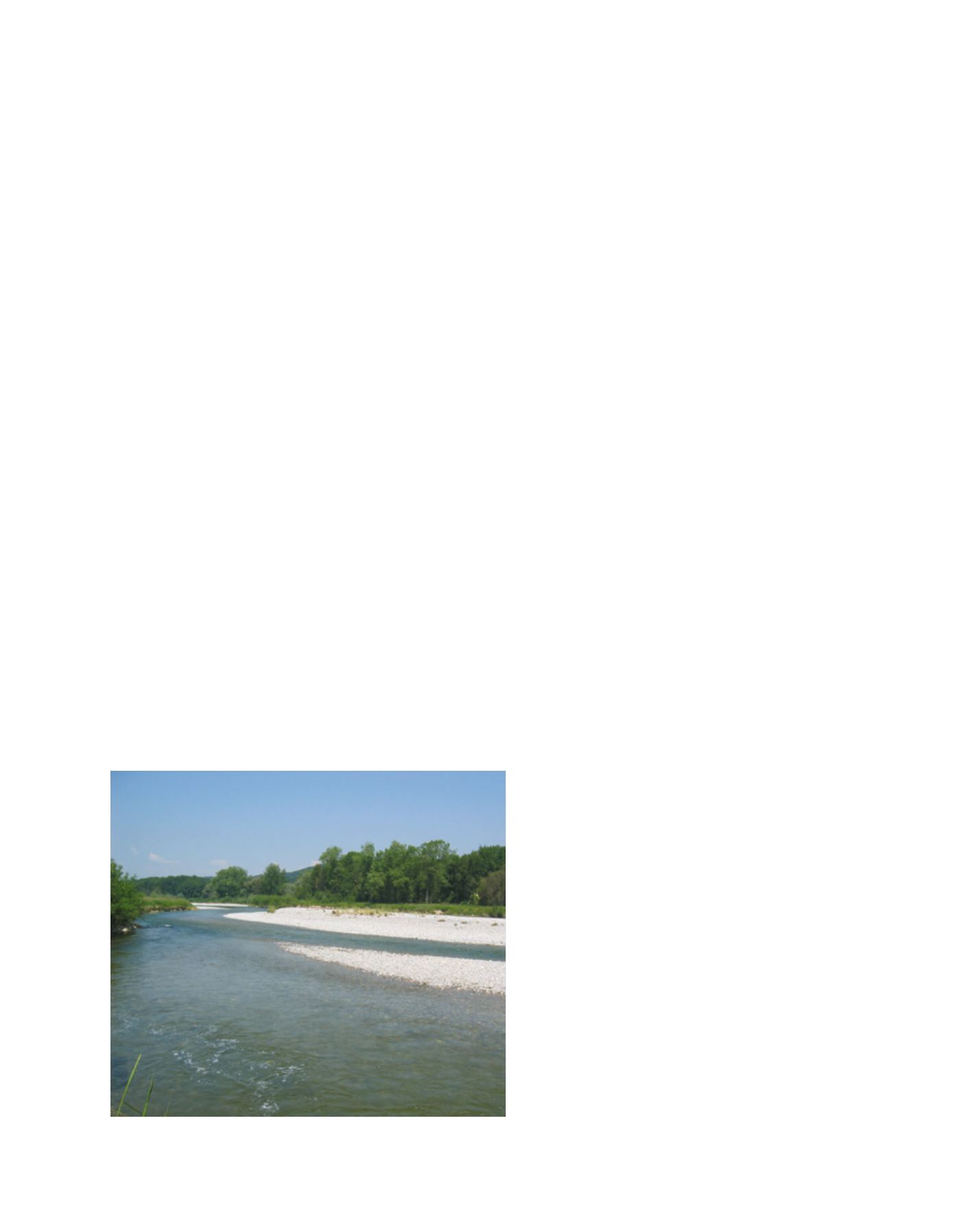
Restoration of gravel banks of the Thur River, a tributary of the Rhine in Switzerland
Image: CHR


