


 118 / 192

Note that this flood hazard map also indicates sediment disas-
ter prone areas delineated by brown coloured lines. Note also
that the areas include many houses. Residential areas have
been developed even in such vulnerable places.
Fifteen years later, on 19-20 August 2014, a similar
event took place again in Hiroshima, killing 74 people
and destroying 133 houses. Geological and meteorologi-
cal conditions in this area are characterized as weathered
granite that can easily become landslides and flow down as
debris, and more than 200 mm rainfall during three hours.
The photos are typical snapshots of sediment disasters in
Asa-Minami-Ku, Hiroshima city. They show that residen-
tial areas were still in vulnerable places and many houses
were seriously damaged. The flood hazard map in Figure
6 indicates the danger of sediment disaster. Readers can
easily identify the location of the second photo (below),
indicated by a red arrow.
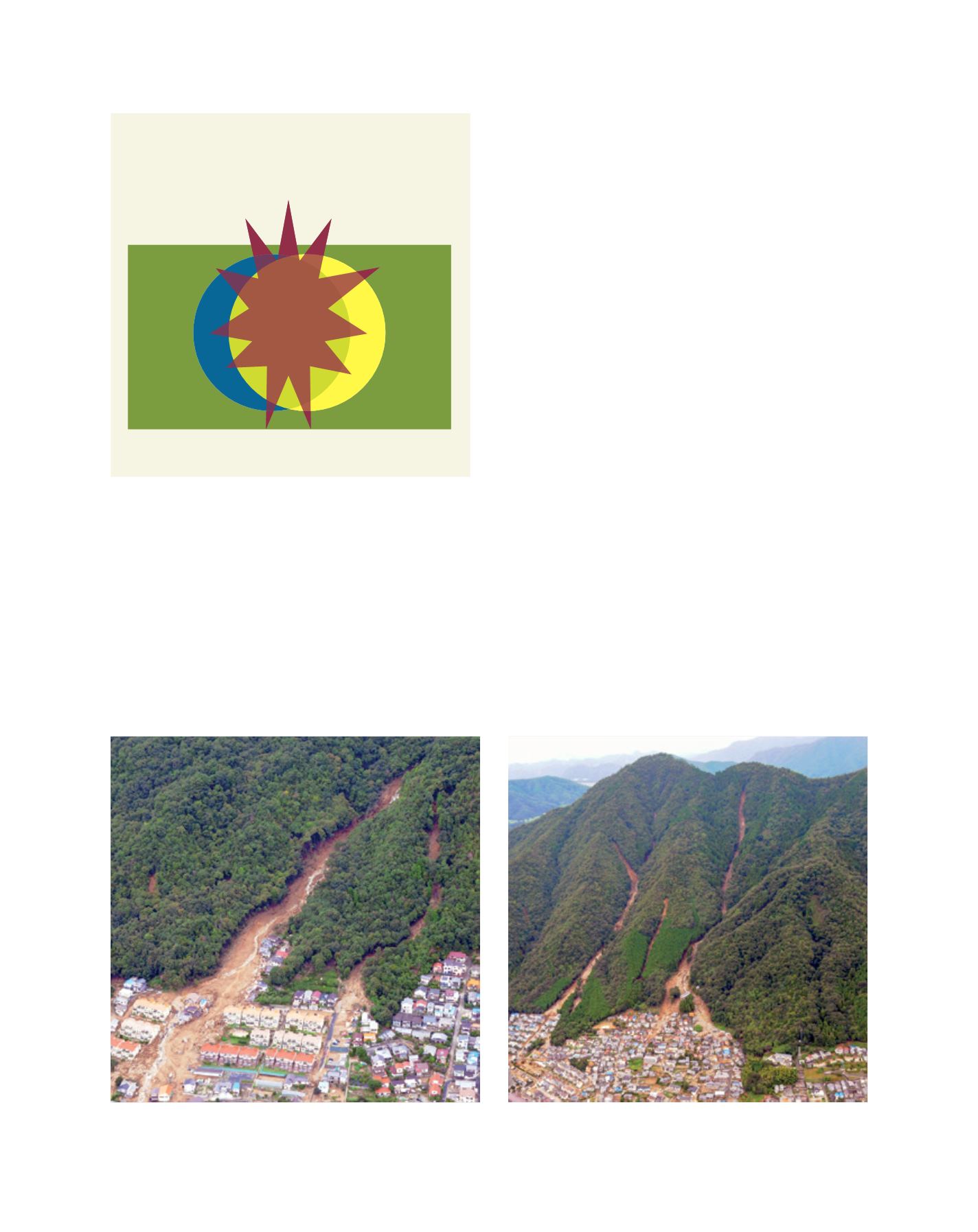
The conceptual diagram in Figure 1 can be recognized in
Figure 7 for the 2015 landslide and debris flow hazard, which
was caused by very localized intensive rainstorm. Almost all
exposures (people and properties) were in vulnerable places.
Thus, two circles (exposures and vulnerable place) are very
much overlapped as shown in part (a) in Figure 7.
In addition to such a situation, it should be noted that
rainstorms hit the area after midnight when all the people
were sleeping. The timing of the event also makes the disas-
ter more serious. Holidays (Saturdays and Sundays) are also
weak points in terms of public services for emergency disas-
ter management.
Lessons learned
Living land should be considered from the viewpoints of
disaster prevention and mitigation. Hazard maps give us
useful information about disaster risk in our society; but we
should also be careful of the conditions in which hazard maps
are made. Disaster risk, depending on hazard, exposure and
vulnerability, also depends on physiographical conditions:
location, geology, meteorology and hydrology, as well as the
time of day or of the week and the season of the year.
In the discussion above, the author has denoted vulner-
ability mainly in terms of vulnerable place; however,
vulnerability also can be applied to people and societies.
People and societies who are well educated regarding
hazards and disasters are less vulnerable and can adapt to
emergency situations in their daily life.
Sediment disasters in Hiroshima; residential areas were in vulnerable places and many houses were seriously damaged (NB. location of right hand picture can
be identified by the red arrow within Figure 6)
Images: Masahiro Chigira, Professor, DPRI, Kyoto University
[
] 118
Figure 7: A conceptual explanation of disaster risk,
hazard, exposure and vulnerability (interpretation
for landslide and debris flow in Hiroshima)
Source: Kaoru Takara
Safer place
E
x
p
o
s
u
r
e
(
p
e
o
p
l
e
,
p
r
o
p
e
r
t
y
)
V
u
l
n
e
r
a
b
l
e
p
l
a
c
e
Landslide and
debris flow (Hazard)
(a)
L
iving
L
and