


 178 / 280

[
] 178
Additional existing systems to be sustained are those
to observe changes in ice sheet and glacier topography
and thickness – satellites utilizing radar (e.g. Envisat,
GFO and Sentinel-3) and laser (ICESat and, once
launched, CryoSat-2) altimeters, complemented by
aircraft and in situ observations. All of these measure-
ments require that the International Terrestrial Reference
Frame (ITRF), which integrates the geodetic components
– SLR, VLBI, DORIS, and GNSS (GPS, together with
GLONASS and Galileo once launched), must be made
more robust and stable. Finally, observations of the time-
invariant gravity field from GOCE, once launched, and
other stand-alone missions are needed to determine the
precise geoid.
New and improved observing systems which need to be
developed include those directed at changes in the ocean
volume, specifically extending the Argo-type capability to
enable the collection of similar observations under the sea
ice, as well as the design and implementation of an effort
to obtain observations for the deep ocean. Based on expe-
rience gained with radar and laser satellite altimeters, the
development of a suitable follow-on capability is needed
to improve observations of ice sheet and glacier topogra-
phy. Access to InSAR data and ongoing InSAR missions
are needed to observe flow rates in glaciers and ice sheets.
Finally, the development of an advanced wide-swath
altimeter is needed to observe sea level associated with the
sea-level rise. However, the current suite of ice sheet models does not
adequately represent many of these processes and thus projections of
ice sheet contributions to both 21st century and longer-term sea-level
rise may be underestimated.
Concern that the sea-level projections may be biased low has been
reinforced by a comparison showing that since 1990, observed sea
level has been rising more rapidly than the central range of the IPCC
projections. It is now at the very upper end of those projections.
To address these uncertainties, 163 scientists from 29 countries
attended the Workshop on Understanding Sea-level Rise and Variability,
hosted by the Intergovernmental Oceanographic Commission of
UNESCO in Paris (6-9 June, 2006). The workshop was organized by
the World Climate Research Programme (WCRP) to bring together all
relevant scientific expertise with a view to identifying the uncertain-
ties associated with past and future sea-level rise and variability, as well
as the research and observational activities needed for narrowing these
uncertainties.
1
The Workshop was also conducted in support of the
Global Earth Observation System of Systems (GEOSS) 10-Year
Implementation Plan.
2
As such, it helped develop international and
interdisciplinary scientific consensus for those observational require-
ments needed to address sea-level rise and its variability, especially
GEOSS activities focused on climate and hazards.
Reducing uncertainties
Improving our understanding of sea-level rise and variability, as well
as reducing the associated uncertainties, critically depends on the avail-
ability of adequate observations, as proposed under GEOSS. These
requirements include sustaining existing systematic observations, as
well as the development of new and improved observing systems.
An overarching observational requirement is the need for an open
data policy, together with timely, unrestricted access for all. Using the
Argo and Jason policies
3
as a guide, this access would include real-
time, high-frequency sea-level data from the Global Sea Level
Observing System (GLOSS) tide gauges and co-located GPS stations,
as well as data from satellite missions and in situ observing systems.
Further requirements include the need for appropriate data archaeol-
ogy – retrieving and making accessible historical, paper-based sea-level
records, especially those extending over long periods and in the
Southern Hemisphere. It’s important to note that an immediate prior-
ity for paper records is electronic scanning and making them available
for subsequent digitization. Moreover, satellite observations need to be
as continuous as possible, with overlap between successive missions.
There also needs to be a corresponding collection of appropriate in
situ observations for calibration and validation. In general, ongoing
satellite and in situ observing systems should adhere to the Global
Climate Observing System (GCOS) observing principles.
4
The existing systems that should be sustained include those observ-
ing sea level – the Jason series of satellite altimeters, as well as
completing the GLOSS network of approximately 300 gauges (each
with high-frequency sampling, real-time reporting, and geodetic posi-
tioning). Together these satellite and in situ observations enable the
measurement of both absolute and relative changes in sea level. In
order to estimate the change in sea level by ocean thermal expansion,
the Argo array of profiling floats needs to be completed and sustained
to observe the upper-ocean in ice-free areas. To estimate the contri-
bution to changes in sea level from melting ice caps and glaciers and
changes in terrestrial water storage, observations of the time-varying
gravity field from the Gravity Recovery and Climate Experiment
(GRACE) need to be sustained.
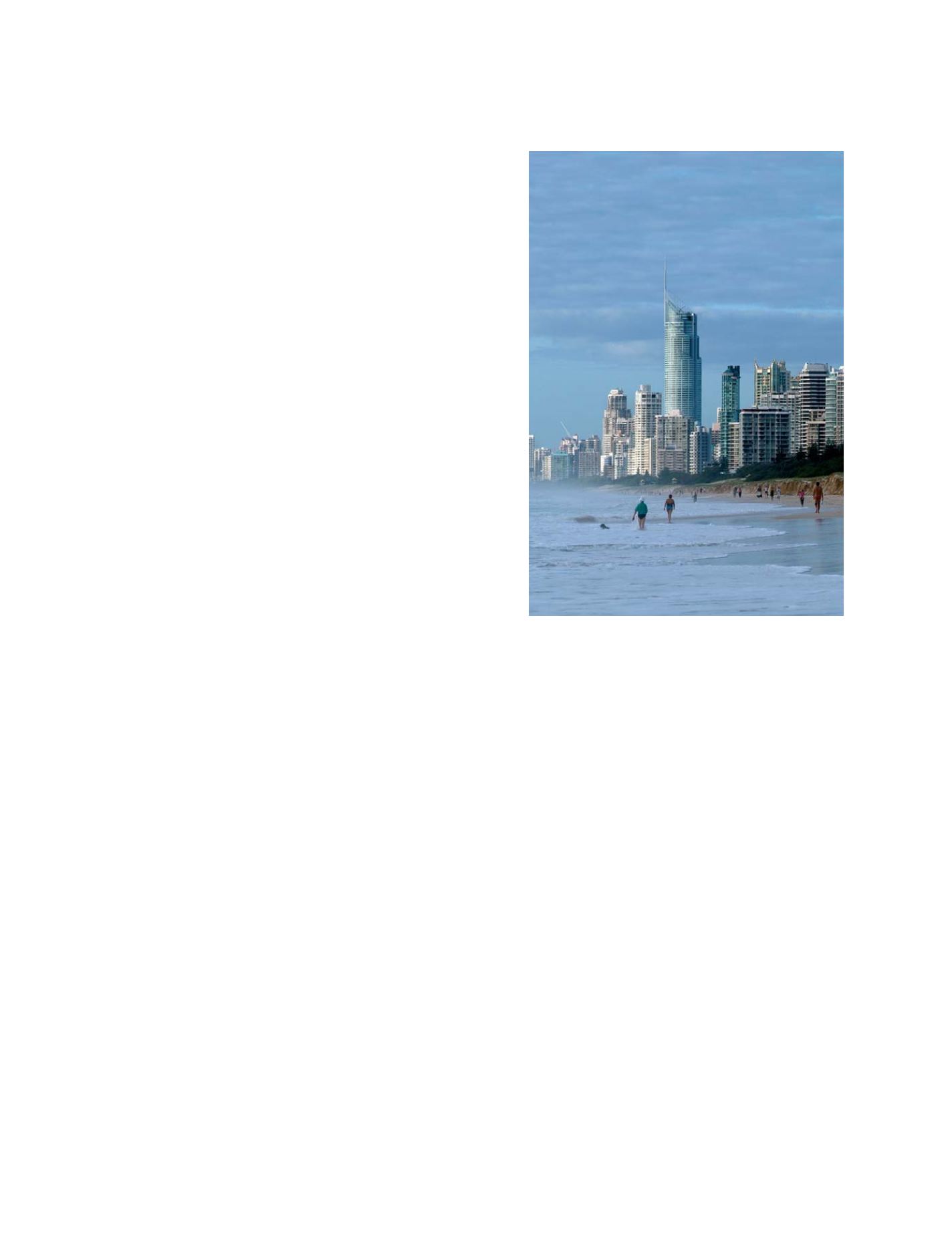
The Gold Coast, Australia. Coastal development is continuing
around the world
Photo: Bruce Miller
S
OCIETAL
B
ENEFIT
A
REAS
– D
ISASTERS