
[
] 181
over the critical area. Furthermore, to validate the posi-
tion of the burning area during the peak of the fire
season, a forest fire validation team was sent into the
field to carry out field investigations.
EOS and biodiversity
The Earth Observation System (EOS) also plays an
important role in the study of biodiversity, which repre-
sents the very foundation of human existence and has
become part of our daily lives. In Thailand, a project
has been initiated for monitoring biodiversity in Doi
Inthanon National Park, which has a unique environ-
ment, a complicated human society and rich
biodiversity. In the first phase, a geospatial database of
the study area has been designed to respond to
dynamic ecosystem changes due to global warming.
Next, the team will develop an algorithm to extract
information from EOS data as an input into a dynamic
ecosystem change model of the area that impacts biodi-
versity. The final goal of the study is the operational
use of EOS for biodiversity monitoring.
severe erosion driven by high waves occurred along the shorelines of
the southern provinces of Chumporn, Suratthani, Nakhon Si
Thammarat, Songkhla, and Narathiwas. GISTDA conducted a study
on the high wave impact by using satellite images from SPOT4 and
SPOT5 satellites. The study focused on detection of shoreline changes,
incorporating oceanographic and meteorological data. It was found
that the severity of erosion varied according to coastal topography
and location.
Forest fires
While the southern part of the country is under the influence of
the monsoon, the northern part of Thailand faces the threat of forest
fires. During late 2006 and early 2007, slash-and-burn cultivation
was accelerated by high temperatures and dry conditions, causing
severe forest fires in the upper part of Thailand. The smoke and
haze from forest fires totally covered the northern provinces. For
months, the hazy condition affected the respiratory systems of
people living in the area. To monitor the situation, daily MODIS
data both from TERRA and AQUA were used for the detection of
hotspots and smoke plumes. Subsequently, high-resolution satellite
data from SPOT and LANDSAT were used to locate the fire front
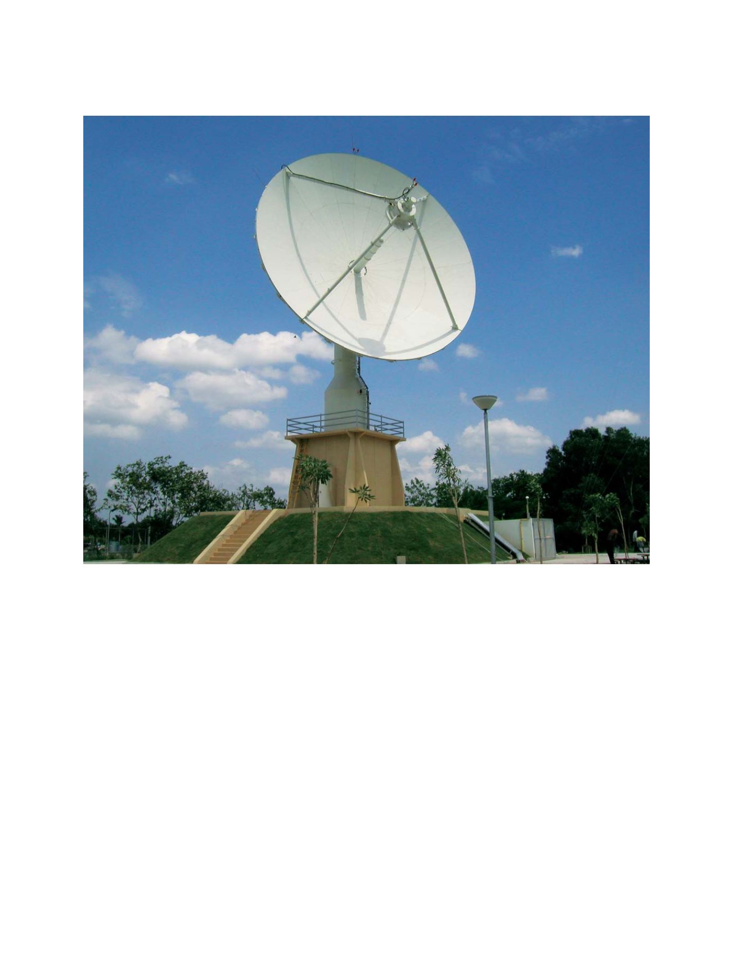
Remote sensing technology is crucial for disater monitoring, mitigation and prevention
Photo: GISTDA
S
OCIETAL
B
ENEFIT
A
REAS
– D
ISASTERS


