


 211 / 280

[
] 211
Further Australian initiatives to reduce global carbon emissions in
the region will help in tropical forest mapping, change detection and
regional information dissemination. These have a particular focus
in the Asia-Pacific region, of which Australia is a part. The Global
Initiative on Forests and Climate (GIFC) was initiated in early 2007,
as an Australian contribution to the global UNFCCC-coordinated
Reduction of Emissions from Deforestation and Degradation (REDD)
process. Deforestation is not well addressed within existing inter-
national frameworks for climate-change mitigation measures, yet it
has been recognized by the IPCC that emissions from deforestation
in developing countries represent about 20 per cent of annual global
greenhouse gas emissions, or about 7.2 billion tonnes of carbon
dioxide per year (IPCC 2007). This is second only to emissions from
burning fossil fuels to produce electricity, and is more than all the
world’s emissions from transport. Reducing deforestation, together
with planting new forests and investing in sustainable forest manage-
ment across the developed and developing world, is considered
among the best ways to reduce global net greenhouse gas emissions.
This also addresses the UN Millennium Developing Goals of enhanc-
ing benefits for biodiversity, repairing landscapes and improving
livelihoods across the globe.
Under the $200 million GIFC initiative, Australia will help partner
countries in the region gain improved access to policy-relevant and
transparent earth observation satellite data to assess the state of their
forests and to manage forest-use activities in a sustainable manner.
This regional initiative will draw heavily on the knowledge gained
and systems developed in implementing Australia’s NCAS, including
access to the methods and models produced by the
NCAS, and using where feasible local satellite acquisi-
tion facilities and regional data distribution networks
such as ‘Sentinel Asia’ and GEONETCast, this later devel-
oped under GEO, to make the information available
across the Asia – Pacific region. To help in regional forest
monitoring, Australia has earmarked $25 million to set
up additional infrastructure for access to satellite data of
all forms, collected over the Asia-Pacific region.
Australia has also proposed to expand NCAS to a
Global Carbon Monitoring System (GCMS). Like
GEOSS, GCMS is to be comprised of a network of
systems, supported by conventional and next-genera-
tion Earth observation satellite technologies operated
by different countries, and integrated with agreed carbon
accounting approaches. The goals here are to determine
with precision global extent and changes in forest cover,
and estimate changes in carbon stocks and emissions of
greenhouse gases due to changes in forest cover, includ-
ing deforestation and degradation.
It follows therefore, that from an Australian perspective,
many of the GEO-initiated international coordination
tasks and the development of GEOSS, leading to improved
data interoperability standards and long-term continuity
of publicly-funded satellite data, are vital to continuing
public-good environmental programmes such as NCAS
and GIFC. GEO tasks related to quality assurance,
improvement of methods of global land cover mapping,
coordination of ecosystem observation and monitoring
networks, space-based CO
2
monitoring, and long-term
satellite data continuity and redundancy (in the form of
‘virtual constellations’) are also important to these
programmes. These will ensure future access to high-
quality satellite data for long-term regional and global
ecosystem mapping across developing and developed
countries.
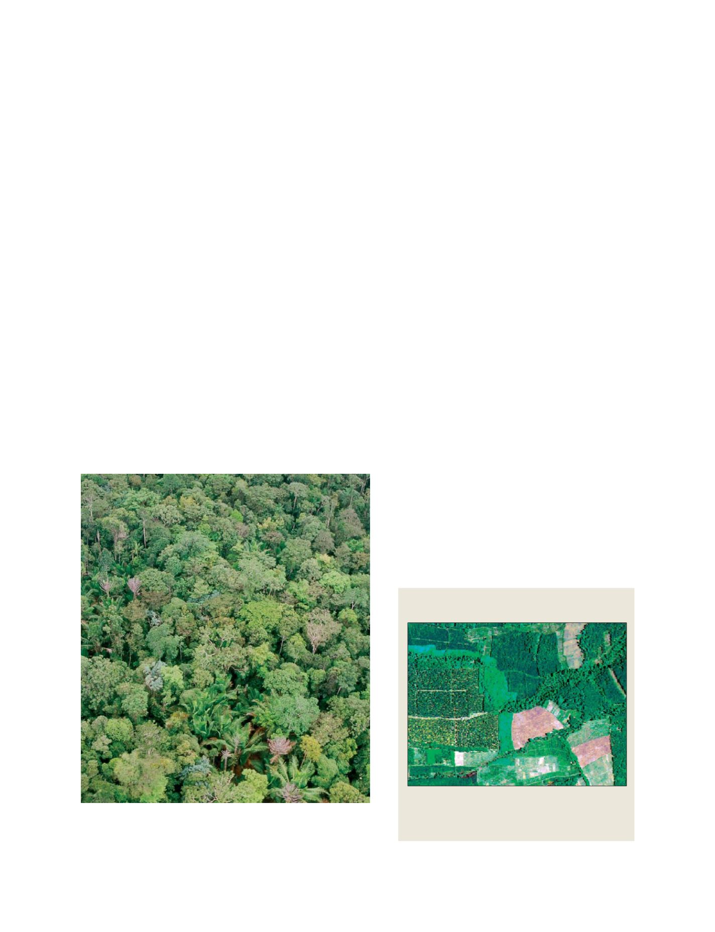
Lowland rainforest in the Asia-Pacific region. Reducing deforestation, together
with planting new forests and investing in sustainable forest management
across the developed and developing world, is among the best ways to
reduce global greenhouse gas emissions
Photo: CSIRO
Tropical forest remnants, agricultural fields and tree
plantations in the Asia-Pacific region
Australia is helping regional forest monitoring and
verification by investing in setting up additional
infrastructure for access to satellite data of all forms,
collected over the Asia-Pacific region
Source: CSIRO
S
OCIETAL
B
ENEFIT
A
REAS
– C
LIMATE