


 216 / 280

[
] 216
the differences in the future climate from the current
climate. In many cases one would need software to plot
the data on a map. The skills and machinery required
to complete these tasks is really quite specialized.
Instead, the Atlas offers a simple point-and-click way of
achieving all these steps. If, in addition to a map, the
actual data for a particular region is required, then this
is also made available in a simple format suitable for
spreadsheets. Users may, for example, wish to under-
take further downscaling of their own with these data
or use the data as input for other impact models.
In short, the data is made easily accessible and useable
to the layperson, for the time slices they might need and
over regions that they can define. The Atlas offers a
choice of climate models and emission scenarios too.
Africa and climate change
Climate change is a vital part of the African develop-
ment agenda (recently embraced by the African Union
and, before that, highlighted at the Gleneagles G8
summit of 2005). Climate models are the only means
we have for generating future climate scenarios, and the
datasets that result from the joint experiments, such as
IPCC AR4, provide the underpinning science for climate
change adaptation.
It turns out that several regions in Africa are projected
to experience dramatic changes in climate. Recent research
published in leading scientific journals has drawn atten-
tion to changes in aridity. In the case of southern Africa,
dune systems that have been stable for several thousand
years are likely to become mobile again towards the end
of the twenty-first century, with desperate consequences
for the livelihoods of people who currently live in the
Kalahari. Similarly, North Africa is projected to undergo
significant decreases in future rainfall. Streamflow of the
perennial rivers in the continent is likewise predicted to
drop by some 25 per cent. In a continent where so many
people have to fetch their own water, this statistic is strik-
ing. In contrast, the East African Short Rains, particularly
in northern Kenya, are shown to increase by around 40
per cent towards the end of the century in some of the
greenhouse gas emission scenarios. For other parts of
Africa, such as the Sahel, the history of twentieth-century
climate change has already been long and hard. The Sahel
has recorded the planet’s largest extended drought, with
rainfall from the mid-1960s to near present being below
the long-term average. What kind of future can the Sahel
expect in the twenty-first century? Is the observed long-
term rainfall downturn a permanent feature?
Adaptation to climate anomalies needs to start imme-
diately, as the climate of the planet is already changing due
to increasing greenhouse gas concentrations. Such adap-
tation needs to be underpinned by the best available
science. The tool presented here is one small step to
improving the availability of climate science to the prac-
titioners on the ground, the non-governmental
organizations, the local national hydrological and meteo-
rological services officers and the government ministries
across the continent.
world including global, Africa and regions within Africa. So far, the
Atlas accesses observed data sets which have been put onto a regular
global grid. Mineral aerosol or dust is a unique feature of the African
climate system in that North Africa produces more than half the
world’s dust. A single basin in Chad, the Bodele Depression, is also
the world’s premier dust emission source. Part three of the Atlas is
an interactive component that allows users to plot satellite estimates
of dust loadings. The well-known high quality ERA-40 reanalysis
dataset, which could be described as a mixture of model and
observed data, is also available as Part four. We are adding a fifth
component in the form of frequently asked questions on African
climate. The GEO-WCRP component is the sixth, and will focus on
the climate change information from the IPCC AR4 effort. The Atlas
may be viewed at:
http://www.geog.ox.ac.uk/~clivar/ClimateAtlas/and has been used by government ministries, non-governmental
organizations, universities and farmers – to mention a few – over
the past few years. It was the original aim of the Atlas to bring climate
information to such users in a simple way and thereby to promote
the use of African climate information. The Atlas is free to use and
is based at the University of Oxford in the UK.
The African Climate Atlas and climate change
The climate change component of the African Climate Atlas is an
interactive web page which provides a user-friendly and simple web-
based way of plotting images and making available subsets of data
from the IPCC AR4 climate change model dataset. Without a tool
like this, one would need fast computer links to download very large
datasets from the IPCC AR4 data centres. One would also need soft-
ware and fast computers capable of reading the data formats (such
as netcdf and grib) as well as programs to process the data and show
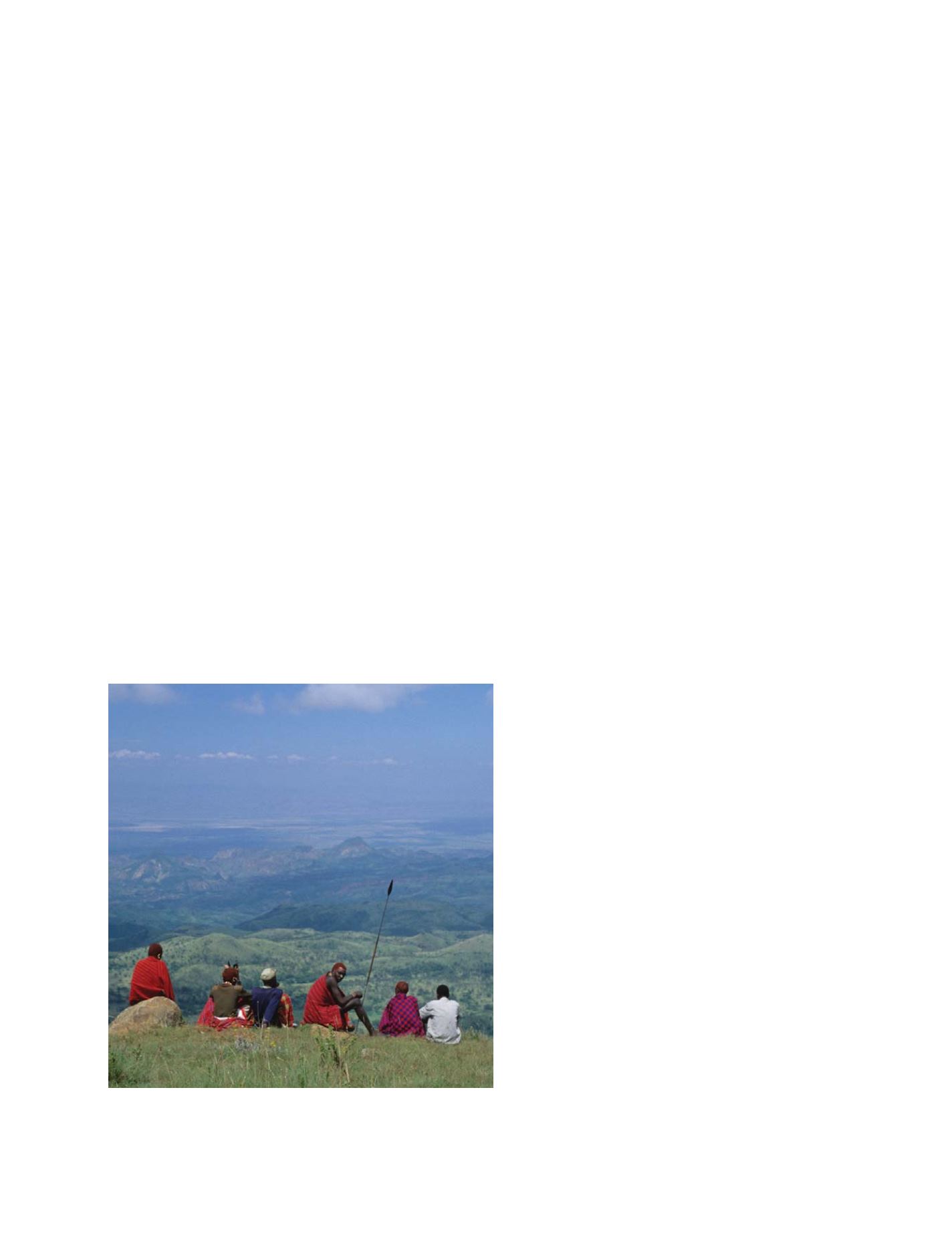
Data such as the IPCC AR4 dataset offer an enormous opportunity from a
planning perspective, particularly to those areas most vulnerable to climate
change, such as Africa
Photo: Megan Gawith
S
OCIETAL
B
ENEFIT
A
REAS
– C
LIMATE