


 215 / 280

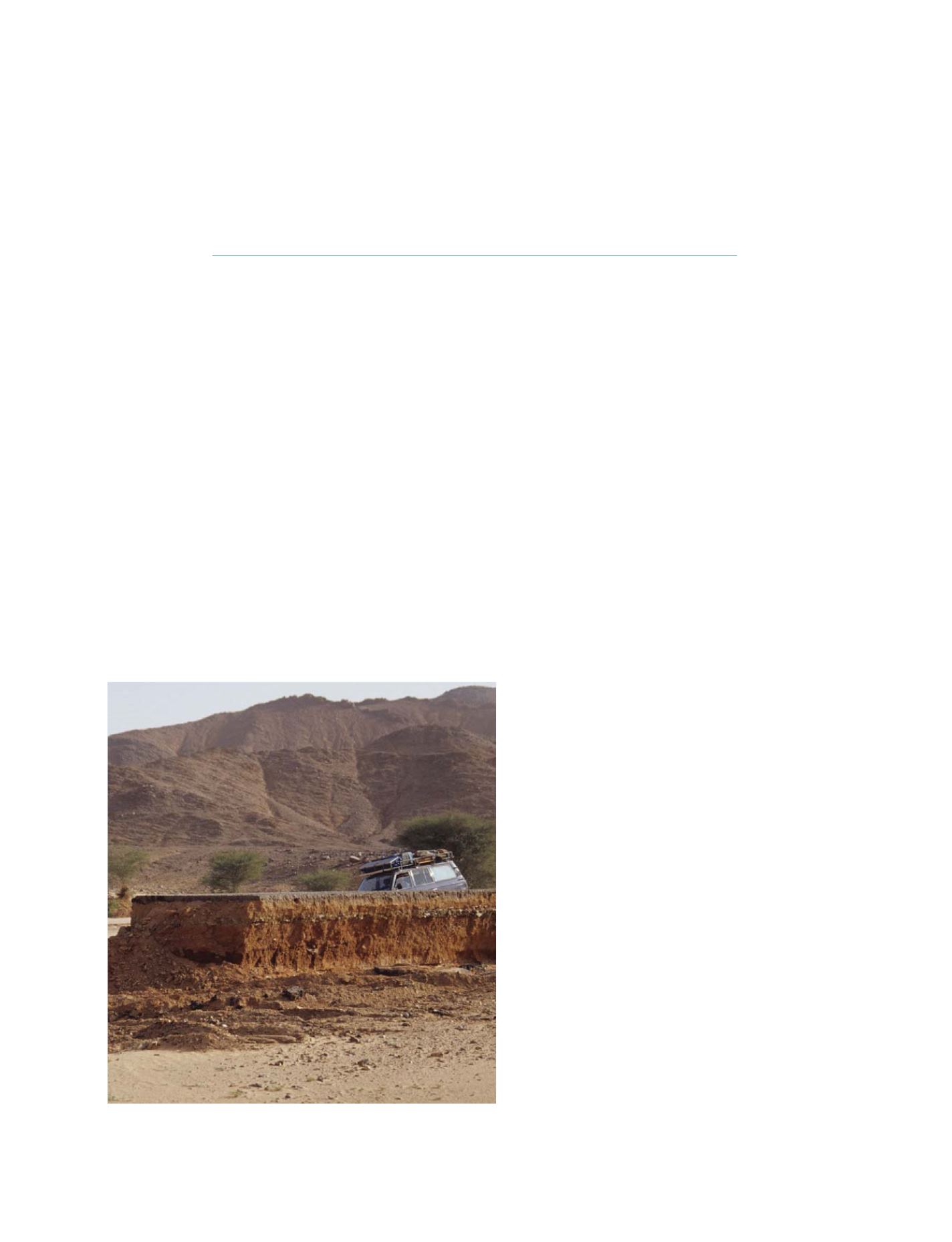
Several regions in Africa are projected to experience dramatic changes in climate,
with recent research pointing to changes in aridity
Photo: Richard Washington
[
] 215
African Climate Atlas:
making IPCC AR4 data available
Richard Washington, GEO-WCRP-CLIVAR-VACS
W
e live in the information age where, for the first time
in the planet’s history, there are vast data sets which
quantify a huge variety of the Earth system. Climate
is no exception, although the development of climate models,
perhaps one of the great scientific triumphs of the twentieth
century, allows us to go further than the present in that we now
have quantitative views of the long-term future too. In this
respect, scientific advances in climate modelling are a quite
special achievement. There is a clear need to make the most of
the opportunity that such insights provide.
Through the efforts of the World Climate Research Programme
Climate Variability and Predictability project (WCRP-CLIVAR), and
especially the world’s major climate modelling centres, we have a
database created from a common set of scenarios of future green-
house gas emissions, which sets out plausible future climates.
Achieving this has been a monumental task with few
parallels in science. The latest version of this extraordi-
nary effort is often called the Intergovernmental Panel
on Climate Change (IPCC) AR4 dataset. From a plan-
ning perspective this dataset offers an enormous
opportunity, particularly to those areas most vulnerable
to climate change. The African continent is among them.
Delivery and accessibility of information is often one
of the key bottlenecks which acts to constrain its use.
In the case of the vast IPCC AR4 climate datasets there
is very real need to store such information efficiently (in
terms of computer disk space) as well as unambiguously
in terms of which part of the world the data relates to,
which moment in time and, of course, the many vari-
ables that make up the climate system. Scientists
normally resort to data formats as a way of storing the
data. Such formats solve both these problems simulta-
neously, but the price to be paid is that it is often only
the climate scientists who can deal with the data and
the formats in which the data are confined. And therein
lies a big bottleneck.
In an effort to extend the use of climate information,
particularly in Africa where the need is high, but
resources for dealing with such data sets is typically low,
the Group on Earth Observation (GEO) and WCRP have
joined forces to create a component of the African
Climate Atlas which makes the IPCC AR4 dataset easily
available. Instead of wrestling through complicated data
formats and through multi-level arrays of global
datasets, the vision here is for users to be able to select
the spatial domain, time slice and variable which they
really want in a simple point-and-click environment. We
expect that such data will be more readily used in this
environment and may therefore be of more benefit to
those responsible for planning sectors exposed to
climate now and in the future.
The African Climate Atlas
The African Climate Atlas (the Atlas) is a joint initiative
between WCRP, CLIVAR and Variability in the African
Climate System (VACS), with four current components
that are focused on observed climate and observed
climate anomalies. The Atlas allows any user to make
online plots of a range of climate variables (e.g. temper-
ature, humidity, rainfall) over numerous parts of the
S
OCIETAL
B
ENEFIT
A
REAS
– C
LIMATE