


 40 / 280

[
] 40
GOSAT
The Greenhouse gases Observing Satellite (GOSAT)
project, which monitors the global distribution of
greenhouse gases, is a Japanese contribution to under-
standing climate change. GOSAT will be launched in
2008, and will measure the columnar density of
carbon dioxide and methane globally, every three days.
The analysis of observation data from GOSAT is
expected to enable estimation of the amount of a
discharged greenhouse gas on a per-continent level.
Around the year 2015, JAXA is hoping to achieve a
discharge estimation of greenhouse gas on a per-
country level, through the improvement of the
atmospheric model. GOSAT is expected to cooperate
with the NASA project Orbiting Carbon Observatory
(OCO), from which data will be available at the same
period.
GCOM
Global Change Observation Mission (GCOM) is a
project that aims to construct systems to enable obser-
vation of geophysical parameters over a long term about
10 to 15 years so that the global mechanism of climate
change and water circulation can be clarified.
As mentioned in the 4th assessment report of the
intergovernmental Panel on Climate (IPCC), warming
of the climate system is unequivocal as is now evident
from observations of increases in global average air and
ocean temperatures and widespread melting of snow and
ice. However, climate change signals are generally small
and modulated by the natural variability, and also they
are not necessary uniform over the Earth. Therefore,
disaster information such as images taken by Earth observation
satellites, particularly in the Asian region, where the number of
natural disasters is great. This activity is promoted by space agen-
cies that are members of the Asia-Pacific Regional Space Agency
Forum (APRSAF), and Asia’s disaster-prevention institutions. Last
year, two project team conferences were held with the participa-
tion of 19 countries, to discuss the utilization of satellite
information in detail.
JAXA is also planning to launch the Wideband InterNetworking
engineering test and Demonstration Satellite (WINDS) at the end
of 2007. The satellite will especially benefit our Internet society by
enabling speedier communications.
Sentinel Asia
Sentinel Asia is a very good example of an application of the soci-
etal benefits dealt with by GEOSS. In addition, it is also a good
model of local user participation and capacity building for GEO.
Sentinel Asia aims to observe and monitor the disaster area in the
Asian region. Sentinel Asia is a joint project of members of APRSAF
in cooperation with disaster management organizations from the
area. Nineteen Asian countries, 45 national organizations and seven
international organizations currently participate in this project.
Data from MODIS and ALOS are used in relation to forest fire
and floods, and it is expected that data from the Indian and Korean
satellites will be available to this project soon. The system is such
that observation data are delivered to local disaster management
agencies through a data-sharing platform, which will be called
Digital Asia. At the time of a disaster, ALOS will observe the disas-
ter area cooperating with the Asian Disaster Prevention Center
(ADRC). Furthermore, a capacity building programme to utilize
these systems, satellite data and images will be carried out with
the Asian Institute of Technology (AIT) of Thailand.
Credit: Copyright JAXA
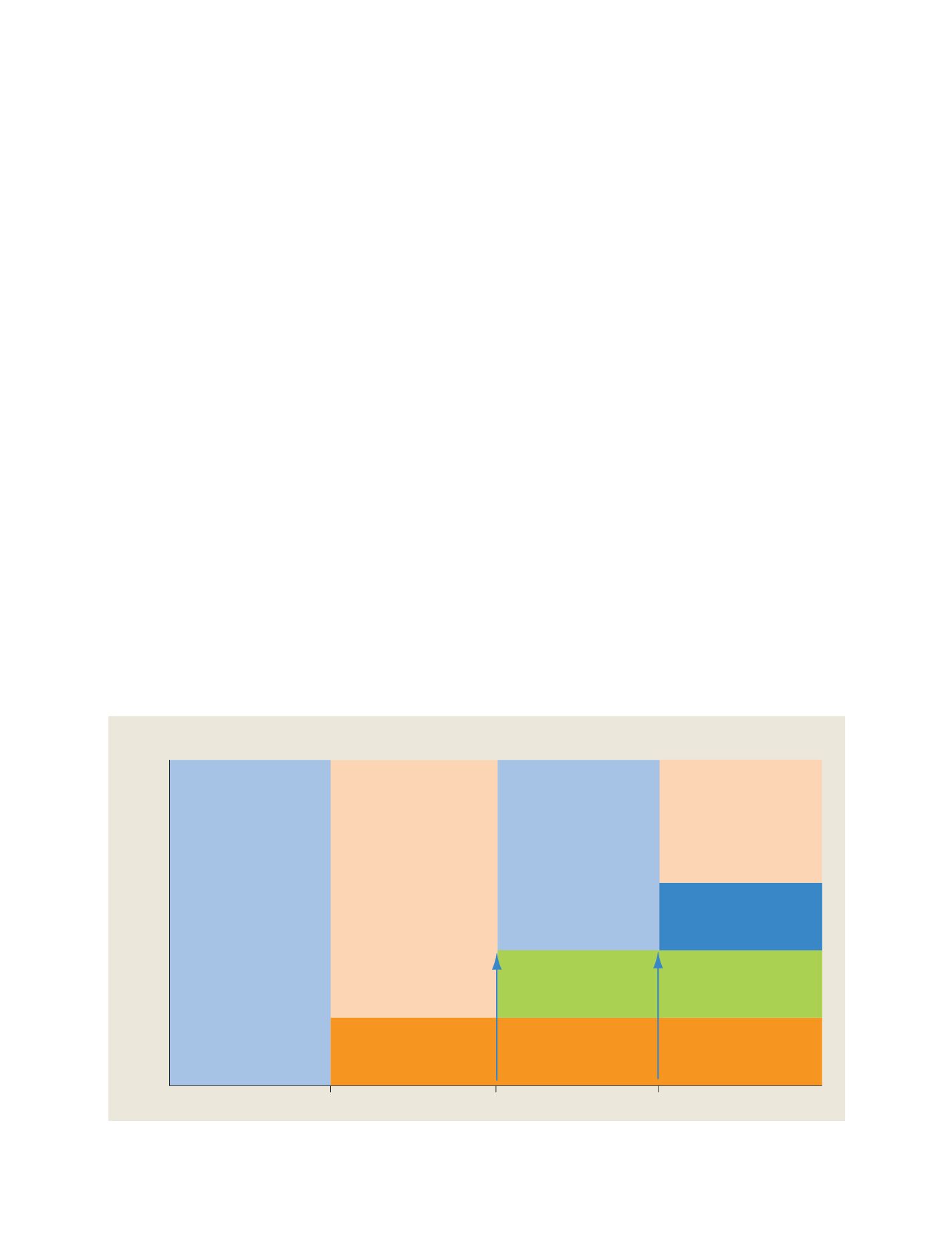
1985
1995
2005
Level of: Integration/Social benefit/Decision making
Year
Technology Learning
Technology Development
Earth Environment Science
Social Benefit,
Decision Making Support
GEOSS
Realization of GEOSS in
10 years
G7 Summit
UN Conference on
Environment and Development
G8 Evian Summit
EO Summit
CEOS
International co-ordination for maximising
return from satellite Earth observations
Creation of IGOS
Proposal of EO Summit
IGOS
Strategy for integrating satellite
and in-situ observations
International Coordination for Global Earth Observations
N
ATIONAL
& R
EGIONAL
R
EPORTS