


 35 / 280

[
] 35
on a coordinated structure, abandoning dispersed or ad-
hoc acting. Last but not least, GMES is the European
contribution to the Global Earth Observation System of
Systems (GEOSS).
For the last two years, ESA has been chairing the
Strategic Implementation Team (SIT) of CEOS. CEOS
has been defined as the appropriate body coordinating
the space segment for GEO, and the SIT has been asked
to work on the responses of countries with Earth obser-
vation capacities to GEOSS and GCOS requirements. In
this context the concept of virtual constellations has
been developed, and the next years will show whether
this concept will be successfully implemented. Space is
an essential, integral part of understanding and manag-
ing Earth, and likewise we face the challenge of
translating the potential that space offers into concrete
deliverables.
Outlook
GMES might be the nutshell vision for a global obser-
vational, operational capacity. But more than that, it is
no longer a vision; it is a concrete system with hard-
ware and applications in the making. It is a mosaic piece
for the GEO picture, but it is in itself a mosaic, success-
fully streamlining Europe’s operational Earth
observation.
If GEOSS is successful, space assets will not only be
a tool for certain regions of the world, but for all citi-
zens of this planet.
Policy: these are Galileo, and Global Monitoring for Environment
and Security (GMES).
Europe and the making of GMES
GMES is the first operational monitoring system for environment
and security. Its goal is to guarantee services to support EU and
national policies, responding to user needs and requirements. Having
started in 1998 with a manifesto calling for a global, satellite-based
monitoring system for Europe, GMES is today in the process of
deploying what will become a full European capacity. The European
Commission, acting on behalf of the European Union, and ESA are
developing GMES together, with ESA being responsible for the
management and coordination of the space component.
In order to realize a global monitoring capacity for Europe from
space, three things are essential: an infrastructure comprising satel-
lites and ground segments; the coordination of this infrastructure,
and the guarantee of long-term system sustainability. We are respond-
ing to the first requirement by developing and launching dedicated
satellites, called the Sentinels. They are based on a careful user-driven
gap-analysis with regard to future data needs versus existing and
planned capacities, and comprise five missions: a SAR imaging
mission; a multi-spectral imaging mission; a global ocean and land
monitoring mission, and two missions for atmospheric monitoring
both from a geostationary and a low Earth orbit, plus the related
ground segments. Whereas the industrial work for the first three
Sentinels is taking off at the moment, the last two will likely be
embarked as payloads on the next-generation EUMETSAT missions.
With regard to the second requirement – coordination – ESA is
in charge of establishing a mechanism to concert the multitude of
European observational missions, like national missions, EUMETSAT
missions or commercial missions. Data access and data provision to
European users must be streamlined. Only with a coordinated multi-
element infrastructure throughout Europe, can GMES be a true
success. To achieve this, ESA can build on its experience as third-
party mission coordinator for almost 30 years.
GMES has to run as an ‘end-to-end capacity’, so satellite and
ground segment infrastructures are only one side of the coin. Any
concrete service, like the daily forecast of sea ice movement in north-
ern Europe, is a complex infrastructure in itself! It requires
development, testing and dissemination. Therefore ESA has, since
2002, progressed in the establishment of the so-called ‘GMES Service
Element’, preoperational services for European policy areas. Today,
having matured and successfully proven the concept of operational
Earth observation, these services are injected into the three ‘fast-
track services’ set up by the European Commission, to form the
nucleus of actual GMES Services as of 2008 onwards. Those three
key areas focus on land monitoring, marine monitoring and emer-
gency response, covering a wide area of policy applications. Two
additional services on atmosphere monitoring and security will be
added.
A contribution to the global effort of GEO
What do the four letters ‘G-M-E-S’ indeed give to citizens, and how
can they intermediately contribute to global efforts undertaken by
GEO? GMES is an independent, sustainable capacity. Its indepen-
dence allows it to act on the basis of its own capabilities, for example
in environmental obligation verification. Its sustainability will allow
it to provide inputs or lead the discussion for global, common polit-
ical goals. Europe can take this responsibility for the long-term based
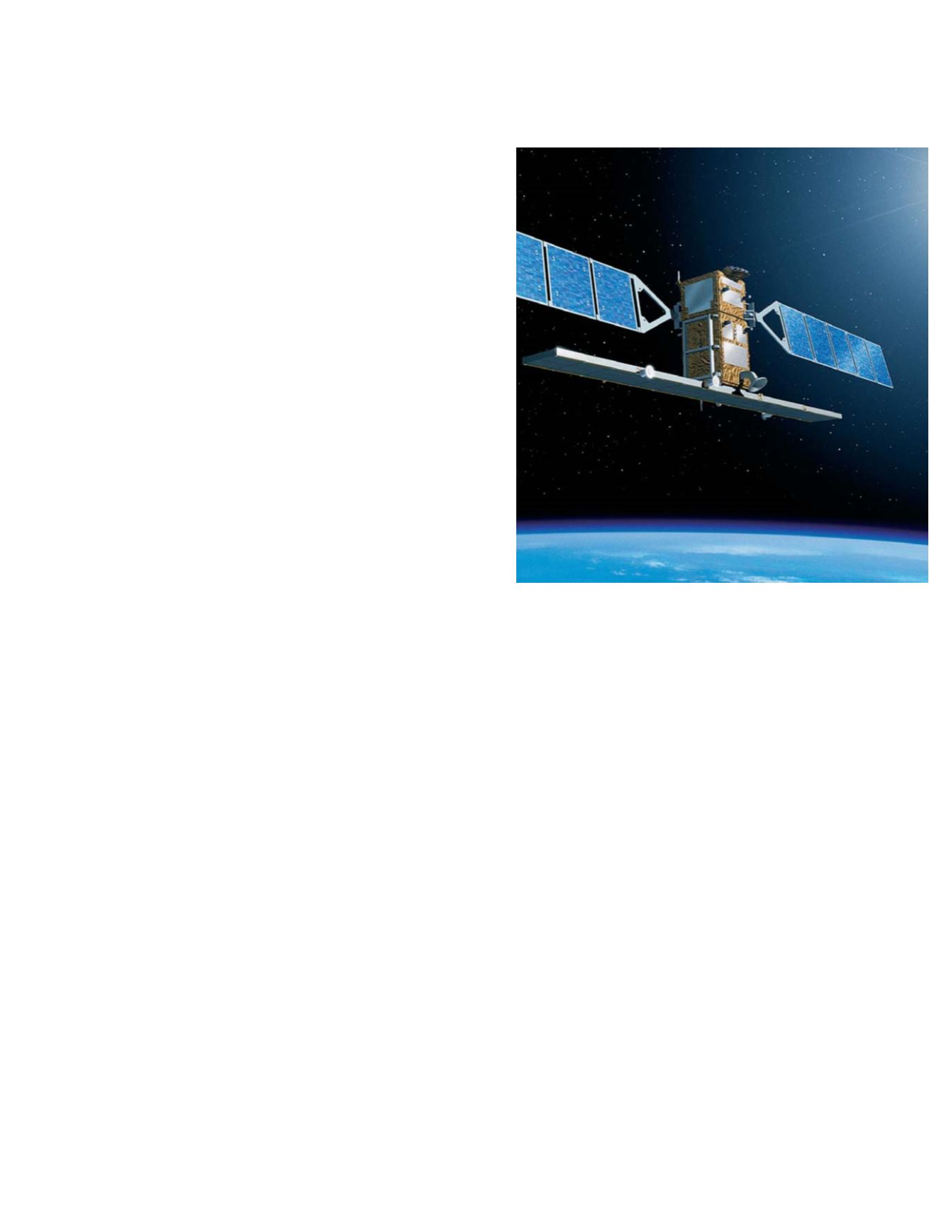
GMES Sentinel-1 artist's impression
Image: ESA – P. Carril
N
ATIONAL
& R
EGIONAL
R
EPORTS