


 47 / 280

[
] 47
GISTDA’s viewpoint towards GEOSS
Dr Thongchai Charuppat, Director, GISTDA
T
he Geo-Informatics and Space Technology Development
Agency (GISTDA) was officially established on 3
November 2000 as a public organization under the super-
vision of the Minister of Science and Technology. GISTDA’s
mandates are in the area of the development of space technol-
ogy and geo-informatics activities. The three main areas of
activities are in providing satellite data services, leading opera-
tional research using satellite data, and promoting public
awareness and transferring knowledge and technologies in the
form of training, seminars, workshops, conferences and exhibi-
tions.
In the area of providing satellite data services, data are received from
satellites owned by various countries such as Landsat, RADARSAT,
ALOS and MODIS. However, by the end of 2007, Thailand will
launch its own satellite, named the THailand Earth Observation
System (THEOS), providing assurance of high-resolution data acces-
sibility to the country. The satellite data are also processed in a form
that can be readily used. These value added products are very useful
and less time consuming for end users.
In operational research, GISTDA has carried out various applica-
tion projects using satellite data in the areas of agriculture, forestry,
disaster and urban planning. GISTDA has a leading role in the appli-
cation of satellite data for the country, and assists other
government agencies in developing the use of satellite
data for the interests of their agencies.
As for public awareness and technology transfer,
GISTDA has actively organized many exhibitions on
various occasions all over Thailand, and provides more
than 12 formal training courses a year.
GISTDA realizes the important role that Earth obser-
vation data play across a very wide spectrum of
applications. However, in some societal benefit areas of
the country such as reducing loss of life and property
from natural and human induced disasters, which is
itself a complex cluster of issues with many players, the
end results sometimes may not meet with expectations.
To tackle societal problems such as this there must be
an effective mechanism in which actions across the agen-
cies can be coordinated and integrated to make efficient
use of resources and synergize overall beneficial results to
society.
Apart from coordination and integration at a national
level, it is important to address the wider area of agro-
ecological and natural resources at regional and
international levels. The Earth’s resources are not bound
by national borders, and need to be managed accordingly,
as manifested by several examples in recent years. The
Indian Ocean tsunami in 2004 caused extensive damage
to life and property in many countries; the forest fire in
Indonesia created smoke and caused air pollution in some
parts of southern Thailand, and flood problems occurred
where the river passes through different countries (river
basin). These issues required regional/sub-regional coop-
eration. Establishing a cooperative mechanism at these
levels can accelerate collaboration among international
agencies.
The Global Earth Observation System of Systems
(GEOSS) is a cooperative mechanism established by
Group on Earth Observations (GEO) to involve all coun-
tries of the world, and to cover in situ observation as well
as airborne and space-based observations. The focus of
GEOSS is on observations relevant to large parts of the
world, and related issues that require comprehensive infor-
mation to be addressed optimally. The design of GEOSS
builds on existing systems and data to be integrated into
national, regional and global plans in a cost effective, tech-
nically possible and institutionally feasible manner.
GISTDA is the national space agency of Thailand, the
national focal point of GEO, and has been an active
member of the GEO Executive Committee since 2005. It
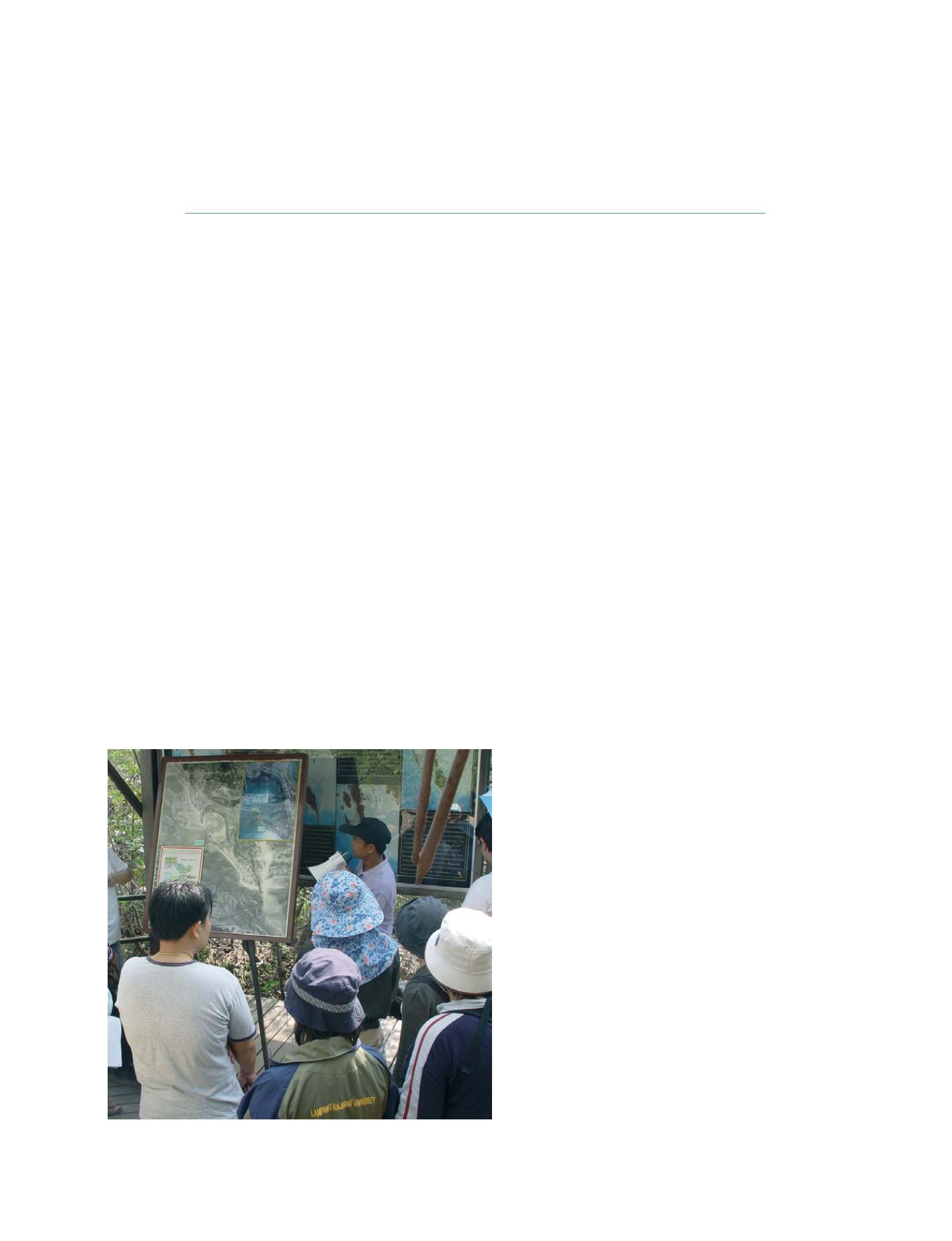
GISTDA’s role has evolved from that of a satellite data user to a data provider
Photo: GISTDA
N
ATIONAL
& R
EGIONAL
R
EPORTS