


 57 / 280

orological forecasting, oceanographic studies, fishing management and
disaster mitigation. The logistics and costs of deploying this system
throughout the world’s oceans and in space would have been daunting
for a single nation, but the project has become feasible because it is being
jointly undertaken by many countries for the common good. Ensuring
the long-term sustainable operation of these systems will require even
more of the kind of international cooperation that GEO can provide.
One dataset, many users; one user, many datasets
Many datasets are collected for a single purpose, but are in fact
extremely useful for a variety of users. Land cover data may be gath-
ered for climate models but would be equally useful for forecasting
and abating the risks to people, infrastructure and the environment
posed by severe weather events. Solar radiation data may be targeted
to the energy sector but could also be useful for predicting future
movements of threatened and endangered species. Unfortunately,
these datasets may not be widely known by, and available to, the
biodiversity community. Because the Earth system consists of a
complex set of interactions, no single part of the system is unaffected
by processes in other parts. Addressing and mitigating health prob-
lems such as meningitis outbreaks requires decision makers to
understand desertification trends and weather conditions, and then
to integrate this information with socio-economic variables such as
housing and transport infrastructure. Flood monitoring requires a
range of data from satellites as well as in situ observations on water
runoff. It is crucial that observation systems and modelling processes
merge different sources of data in order to account for these complex
interactions, and GEOSS aims to achieve this.
As modelling and analysis become more comprehensive and
complex, more thematically diverse data becomes necessary. For
example, vegetation models need climate data, climate models need
data on vegetation distribution and attributes, and both need data
about the terrain. Terrain data in turn must be transformed from
elevation-only data to reflect slope, aspect and elevation.
The costs of integrating Earth observation data in this way should
not be underestimated. Nevertheless, there is no need for any individ-
ual institution to bear the full costs, when distributed processing and
resource sharing can provide overall savings to the larger community.
In addition, GEO seeks to maximize the efficient use of limited
resources by promoting more capacity building programmes and invest-
ments. By coordinating existing and planned capacity-building efforts
and collectively identifying priorities, the GEO community can better
position itself to attract resources that enable it to address human, insti-
tutional and infrastructural gaps in Earth observation capacity building.
The importance of architecture
The success of GEOSS will depend on data and information providers
accepting and implementing a set of interoperability arrangements,
including technical specifications for collecting, processing, storing
and disseminating shared data, metadata and products. The interop-
erability of the GEOSS components will be based on non-proprietary
standards, with preference given to formal international standards. It
will focus on interfaces, defining only how system components
connect to one another. This will minimize any potential impact on
external, non-GEOSS systems that do not choose to reconfigure the
hardware and software components of their architecture.
Three key data-sharing principles form the foundation of the
GEOSS architecture. First, there must be a full and open exchange of
data, metadata and products within GEOSS, accompanied by a simul-
taneous recognition of relevant international instruments
and national policies and legislation. Second, all shared
data, metadata and products will be made available with
the minimum time delay, and at minimum cost. In order
to encourage their use for research and education, all
shared data, metadata and products should be supplied
free of charge or at no more than the cost of reproduction.
The implementation of GEOSS will therefore advocate
the increased sharing of data and tools for the modelling
and analysis needed to transform data into useful infor-
mation. GEOSS will facilitate data-management
approaches that encompass a broad view of the obser-
vation-data lifecycle, from input through processing,
archiving and dissemination, including reprocessing,
analysis and visualization of large volumes and diverse
types of data. With this architecture, GEOSS will estab-
lish international information sharing and dissemination
policies, drawing on existing capabilities through appro-
priate technologies including, but not limited to,
Internet-based services. It will provide a true system of
systems, enabling users at all levels to access informa-
tion and make informed, efficient decisions.
GEOSS: the first steps
The following articles clearly demonstrate that GEO has
already achieved a great deal. They present a series of
activities geared to developing the functional architec-
ture that will make it technically possible to interlink
the various components of GEOSS. These components
include: data collection systems, such as remote sensing
satellites and in situ monitors; information and dissem-
ination systems, which will bring Earth observations to
the end users in a format they can use; and prediction
systems, which are particularly vital for decisions
makers. The chapter concludes with several examples
of how GEOSS will develop operational forecasting
capabilities in the near future for disasters, droughts,
ocean conditions and climate change.
[
] 57
GEOSS C
OMPONENTS
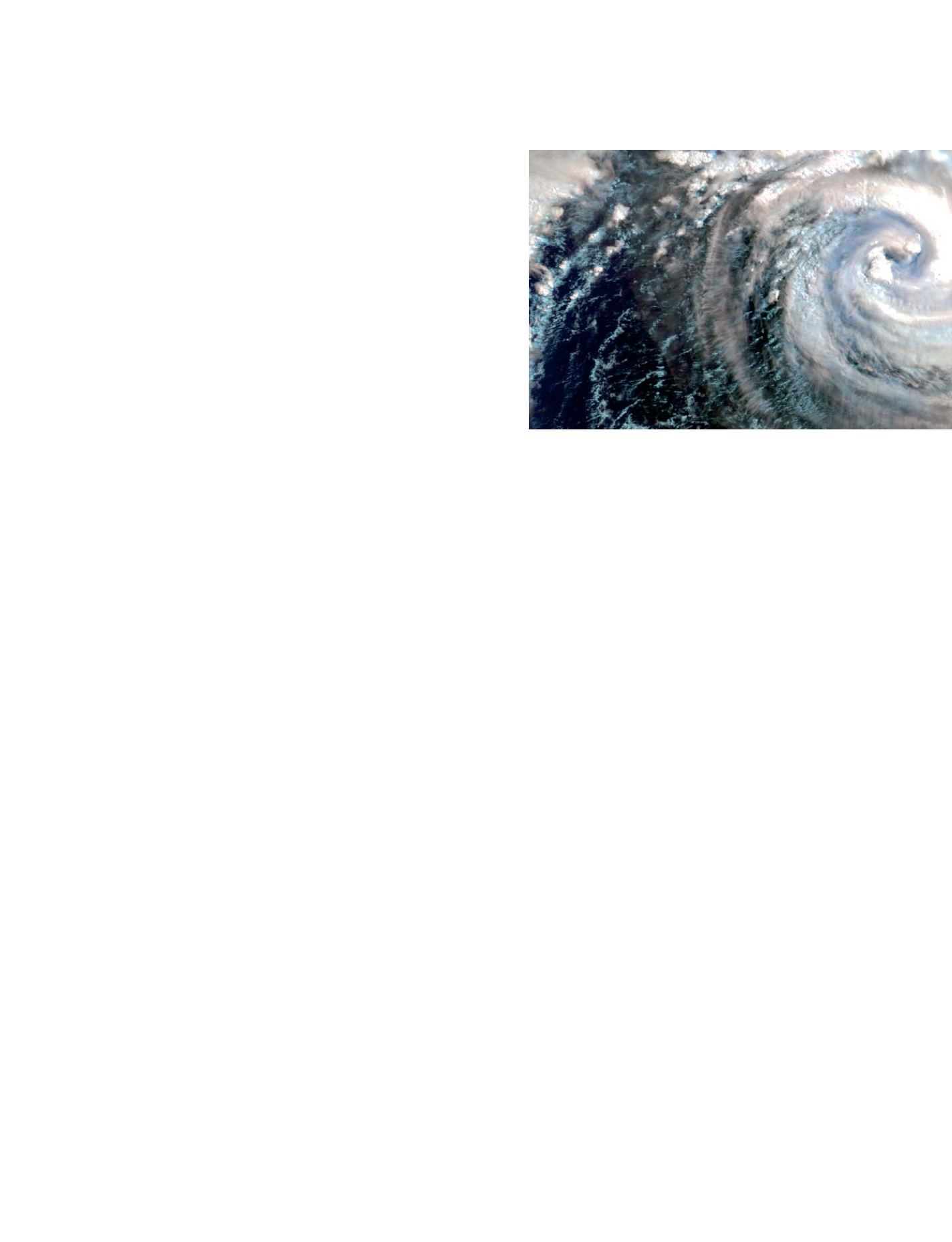
Early warnings of disasters such as Hurricanes are only
possible with accurate, timely data