


 162 / 287

[
] 163
O
bserving
, P
redicting
and
P
rojecting
C
limate
C
onditions
In devising urban adaptation responses, it is helpful first of all if
projections agree on the direction of future change and with local
historical trends. Such a consensus provides the basis for at least
initial planning activities. This is generally the case with SLR. In
Sorsogon City the team found that observations taken since the
1970s at a nearby tidal gauge station revealed a gradual increase in
mean sea level. IPCC AR4, of course, shows this trend as continu-
ing. Based on such inputs the CCCI team was able to preliminarily
map the vulnerability of barangays (villages) and public facilities
to different levels of sea-level rise. These simple vulnerability maps
for ‘hotspot’ barangays have proven sufficiently detailed to open
discussions with stakeholders – many of whom could pinpoint their
houses on such maps – regarding options for adaptation measures.
Action should be possible even though projections do not fully agree
as to the likely rate or extent of sea-level rise in the future.
9
Even when projections diverge as to the extent or even the direction
of a climate change impact, city officials may still be able to take action
if a national government publishes a reasonable official or quasi-official
projection. When downscaled to the local level, an officially endorsed
scenario may give local decision-makers sufficient backing to act. On
the other hand, if ministry representatives announce that such projec-
tions are forthcoming, local planners may prefer to wait rather than
implement a legal measure whose technical basis might be undercut
later. Such concerns account for a current delay in Sorsogon City, where
the CCCI team and local planners are standing by for updated national-
level projections of natural hazards that are reportedly immanent.
10
Effective city-level action is most difficult where projections of
impacts do not agree on direction, and there is no logical official posi-
tion. This has been the experience in Ecuador. Five relevant climate
simulation models were identified and compared. While these models
agreed on some projections, for example a general increase
in temperatures, they were divided on others. Two project
that Ecuador will become drier in the future, while three
project a wetter climate.
11
Such divergences occur regard-
less of the fact that the models in question were relatively
fine-grained, with resolutions of 10-40 kilometres.
This sort of contradictory projections place local-level
planners in an awkward position.
12
The only tenable
urban management solutions involve focusing either
on current priorities regardless of the future, and/or
on those phenomena where greater consensus exists as
to future conditions. In general, however, there is no
dearth of opportunities for action in cities in the devel-
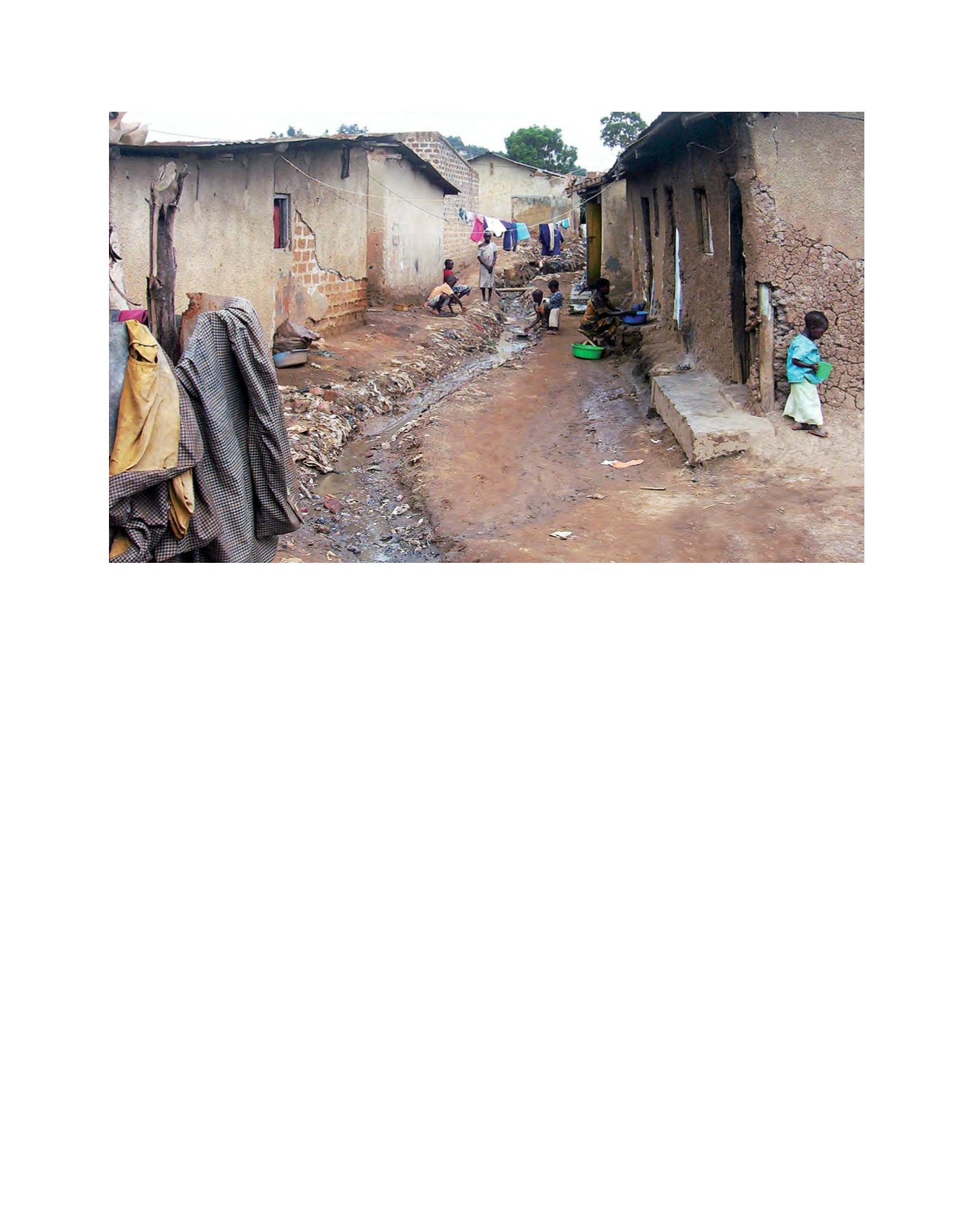
oping world – for example Kampala, where nearly half
of homes currently lie in flood-prone areas.
For certain types of planning decisions, even though
current projections may converge at a relatively fine
scale, additional localized hydrological modelling is
recommended. This is the case for the siting and design
of certain critical infrastructure improvements such as:
port facilities, sea walls as bulwarks against increased
storm surge and roads and bridges to accommodate
riverine flooding. In Maputo, heavy rains in 2000 led
to the flooding of important low-lying areas of the city.
Officials put the damage at USD12.8 million – recon-
struction under future climate scenarios could drive costs
even higher. Where relatively expensive infrastructure
investments are involved, and facility design will not
permit incremental engineering improvements, localized
hydrological modelling becomes crucial for finalizing
Housing at risk of flooding in Kampala, Uganda
Image: UN-HABITAT