


 146 / 288

[
] 147
D
isaster
R
isk
R
eduction
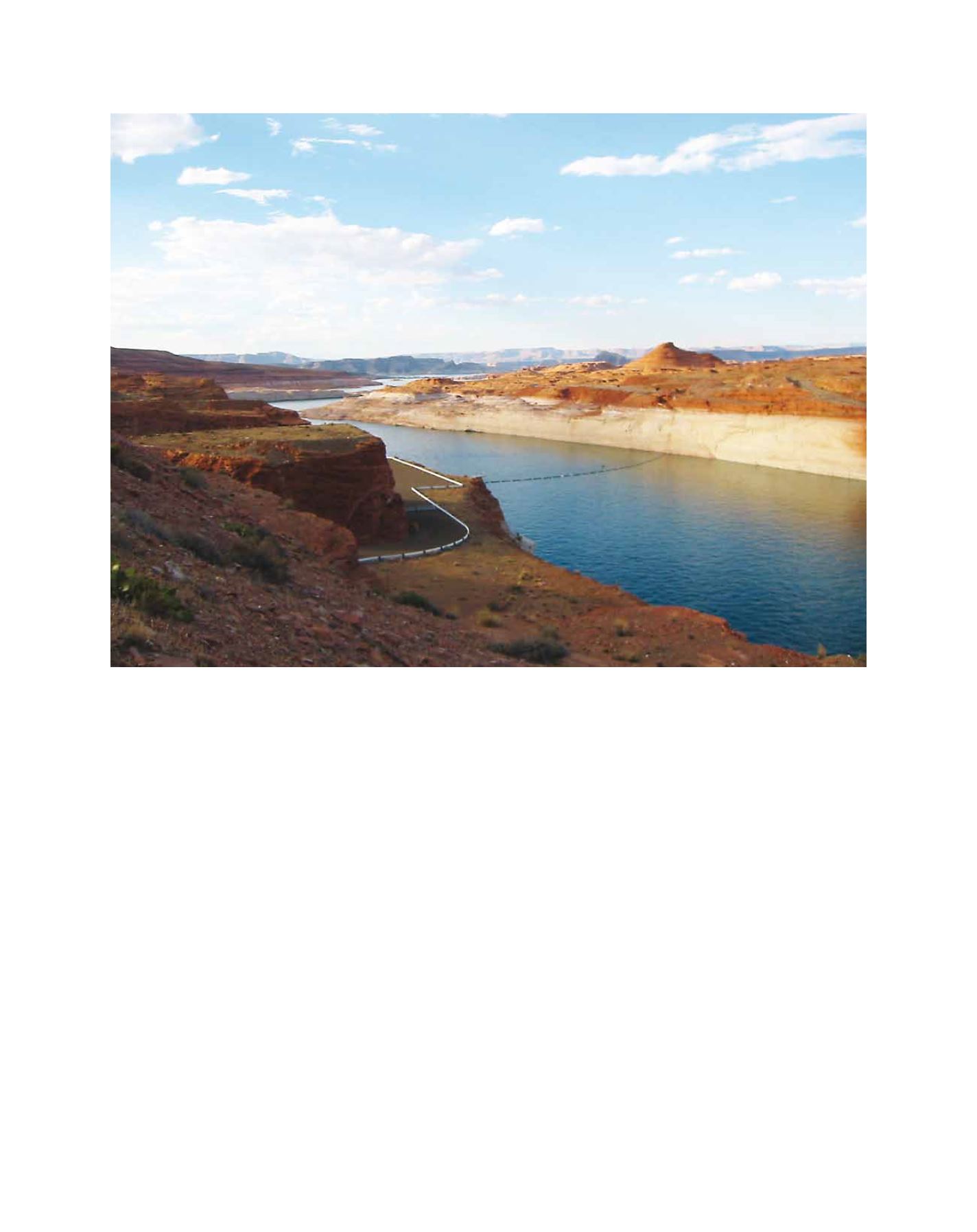
While the Colorado has been called the most managed system
in the world, large areas of the basin are outside the reach of
the mainstem water supply. The Navajo Nation is in an ecologi-
cally sensitive semi-arid to arid section of the southern Colorado
Plateau that straddles the upper and lower Colorado Basin. It is
the largest reservation in the United States. In this remote region,
located at the corners of four states (Arizona, New Mexico,
Colorado and Utah), traditional people live a subsistence life-
style that is inextricably tied to, and dependent upon, landscape
conditions and water supplies. Soft bedrock lithologies and sand
dunes dominate the region, making it highly sensitive to fluc-
tuations in precipitation intensity, percent vegetation cover, and
local land-use practices.
Many residents, especially the elderly, rely on raising livestock
as a significant part of their livelihood or as a supplement to food
supplies.
2
Over half of the reservation population lives in housing
without indoor plumbing or electricity.
3
Before the reservation
demarcation (1868-1887) and grazing allotments, families in
normal years moved their livestock around core customary grazing
areas shared by networks of interrelated extended families, while
during droughts they used other kinship ties to gain access to
more distant places where conditions were better. This situation
is becoming increasingly difficult for the more traditional elderly
who tend to be the poorest of the Navajo people.
Currently, the Navajo Nation is hoping to recover
from drought in the Four Corners Region that lasted
officially from 1999-2009.
These conditions, combined with increasing tempera-
tures, are significantly altering the habitability of a region
already characterized by harsh living conditions. More
than 30 major surface water features on the reservation
have disappeared. Dune deposits cover over one third
of Navajo lands, but drought conditions are producing
significant changes in dune mobility.
4
Sand and dust
movement in the region is closely linked to regional
aridity, ephemeral flood events in riparian corridors,
and regional wind circulation patterns. Climatic factors
controlling dune mobility include the ratio of precipita-
tion to potential evapotranspiration (P/PE), because of
its direct link to the amount of stabilizing vegetation.
5
NIDIS is working to define monitoring needs, identify
sub-regions at greatest risk of degradation and develop
scenarios of future ecological conditions in the Four Corners
region as part of the Colorado River Basin early warning
system. The problemwas brought to international attention
by NIDIS as a featured case in the United Nations Office
for Disaster Risk Reduction (UNISDR) Global Assessment
Report onDisaster RiskReduction 2011.
6
Work commenced
The Colorado Basin Early Warning information now informs the national level Drought Monitor that is regularly updated by NOAA