


 247 / 336

[
] 247
W
ater
C
ooperation
, S
ustainability
and
P
overty
E
radication
and relief installations, including data transmission from Povodí
Moravy’s (the Morava River Authority) new instruments, was
included in the HYDROG model in February 2011.
The algorithm of computing forecasts for the basin’s closing site at
Hohenau/Moravský Svätý Ján includes the following steps:
1. CHMI’s Ostrava Regional Office computes the forecast for the
upper Morava basin down to the confluence with the Be
č
va and
transmits the results to CHMI’s Brno Regional Office
2. CHMI’s Brno Regional Office runs the calculations for the Thaya
basin down to its inflow into the Nové Mlýny Reservoir and for the
Morava basin (from the confluence with Be
č
va to the Strážnice site)
3. SHMI computes the forecast of discharge for the Šaštín-Stráže
closing site in the Myjava basin (there is an opportunity to
run substitute calculations at the Brno Regional Office) and
transmits the results to CHMI’s Brno Regional Office
4. Povodí Moravy transmits the data from the automatic
monitoring network in the confluence area and data from
the Nové Mlýny Reservoir, including the evaluated expected
48-hour run-off, to CHMI’s Brno Regional Office
5. CHMI’s Brno Regional Office computes the forecast of
discharge for the Hohenau/Moravský Svätý Ján site
6. The results are transmitted to Lower Austria’s hydrology
department and SHMI in Bratislava through the file transfer
protocol server by 10.00am
7. Hydraulic calculations for the Morava, between Hohenau and its
inflow into the Danube, are run by the Austrian side.
Part of the system entails the direct online transmission of meas-
ured meteorological and hydrological data from measuring stations
between CHMI and its Austrian colleagues.
International development activities
The Czech Republic’s international development cooperation contrib-
utes to the development of a system of early warning against floods in
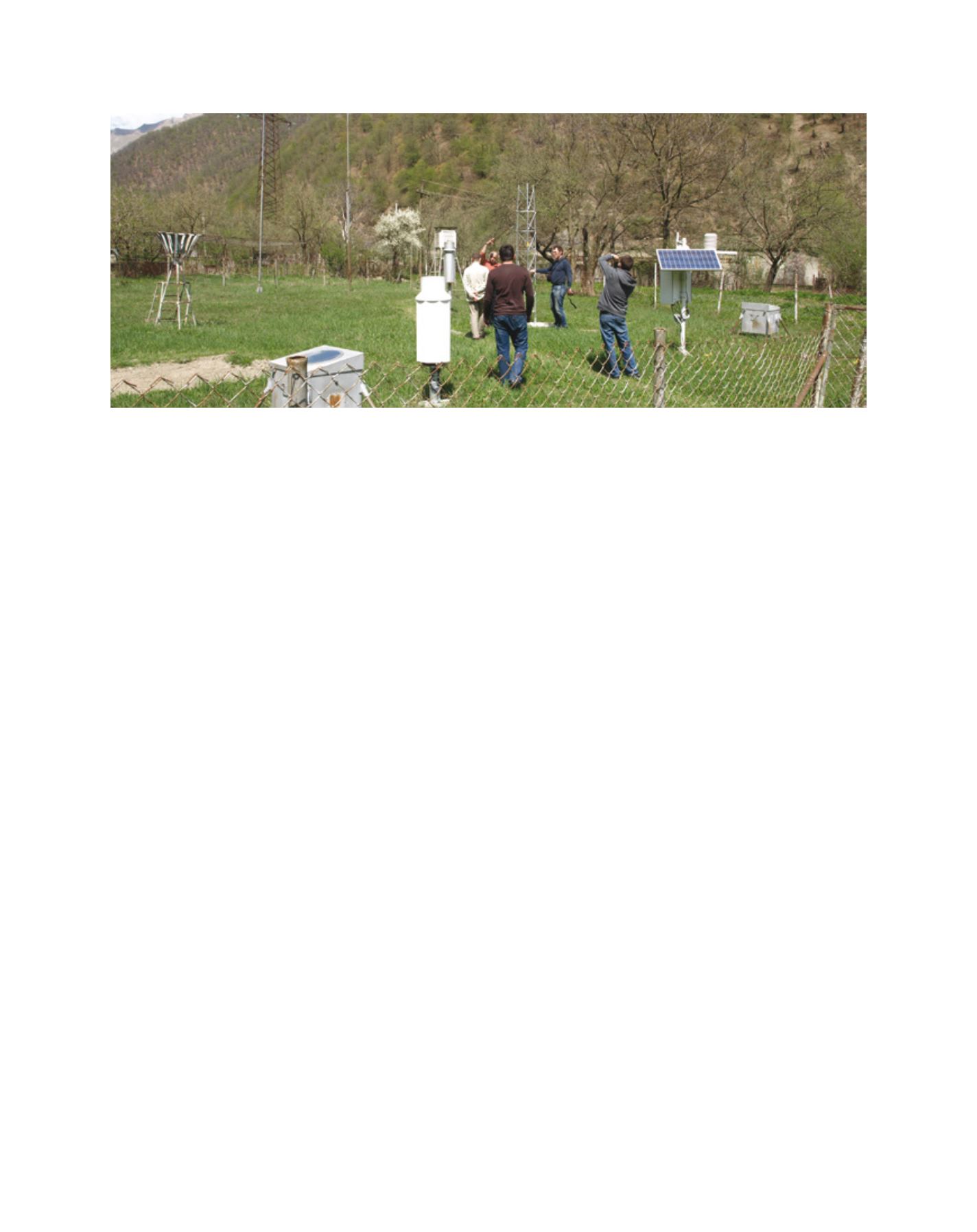
Moldova and Georgia. In 2011, the Enhanced Preparedness of Georgia
against Extreme Weather Events project was launched. This project,
which the Czech Development Agency is carrying out in cooperation
with the Georgia National Environmental Agency (NEA) and CHMI,
pursues the objective of building a monitoring system for early flood
warning. Among other things, the project will help to
implement an integrated monitoring system using hydro-
logical and meteorological stations.
The project transfers the Czech Republic’s experience
with early flood warning and weather forecasting in a
comprehensive system, including data collection (supply
of eight automatic water gauging stations, five widely
featured automatic meteorological stations and three
automatic meteorological measuring posts) and evalua-
tion (supply of specific software for data quality checks
and the processing of climatologic and hydrological
data). It significantly contributes to Georgia’s prepared-
ness for extreme weather changes through an expansion
and modernization of NEA’s meteorological and hydro-
logical monitoring network. Its added value is knowledge
transfer from the Czech Republic, which is guaranteed
by CHMI’s participation in some of the project activities.
This knowledge transfer is especially valuable for the use
of a relational database for meteorology and hydrology.
The main output of the project is NEA’s strength-
ened capacity in the area of forecasting meteorological
and hydrological threats in Georgia, in order to reduce
or mitigate the negative impacts of such disasters.
The strengthening of NEA’s capacity primarily entails
increasing the number of monitoring points, which
will result in continuous flows of updated and reliable
data. The project will also make it possible to store and
analyse this data, which will support early preparation
of accurate forecasts and warnings.
Cooperation for the future
The Czech Republic is situated in the head waters of
three major European rivers: the Danube, the Elbe and
the Oder. It naturally determines methods and activities
in flood protection and highlights the role of the flood
warning and forecasting service. As the water quickly
flows downstream and across the borders between
municipalities and nations, cooperation is the key to
protecting human lives and property.
Pasanauri meteorological station during the installation of new equipment
Image: P. Sercl