


 258 / 280

[
] 258
Bridging scaling gaps for the
assessment of biodiversity from space
Michael E. Schaepman, Centre for Geo-Information, Wageningen University and Alterra;
Zbynek Malenovský and Lammert Kooistra, Centre for Geo-Information, Wageningen University;
C.A. (Sander) Mücher, Centre for Geo-Information, Alterra;
Wilfried Thuiller, Université J. Fourier, Laboratoire d’Ecologie Alpine
V
arious definitions of biodiversity exist, but a common
denominator of these is always a certain scale dependency.
The United Nations (UN) Convention on Biological
Diversity defines biodiversity as: ‘the variability among living
organisms from all sources, including, “inter alia”, terrestrial,
marine, and other aquatic ecosystems, and the ecological
complexes of which they are part: this includes diversity within
species, between species and of ecosystems’.
Scales in biodiversity are relevant and need to be addressed individu-
ally. Biodiversity is often plotted as taxonomic richness of a geographic
area, occasionally referenced to a temporal scale. This, along with the
uneven distribution of biodiversity on Earth, renders biodiversity
measurements using spatially explicit methods particularly complex.
Lately, biodiversity is assessed increasingly using air- and space-borne
Earth observation instruments. However, ecologists
mainly value biodiversity in terms of species richness, as
well as using various indices, whereas Earth observation
based instruments usually measure the spatial distribu-
tion of radiance fields, backscattering and polarization
state changes.
It is the main challenge of Earth observation and
ecology to establish semantic interoperability between
these two fields, and then develop common sampling
schemes and bridge scaling gaps. This would finally allow
a spatio-temporal continuous sampling of biodiversity
with limited discontinuities. In combination with solid
and continuous ground observations, long-term perspec-
tives of various scale biodiversity assessments are
emerging. These perspectives recieve strong support from
networks including the Global Earth Observation System
of Systems (GEOSS) Biodiversity Observation Network,
the US National Ecological Observatory Network
(NEON) and AlterNet (a network of excellence aiming
to build lasting integration of biodiversity research).
There are two particular scaling-based approaches for
the assessment of biodiversity at continental and regional
scale
within
this
context.
A
combined
disaggregation/aggregation scheme is used to derive domi-
nant species abundances at large spatial resolution
(typically 500 to 1,000 m pixel size) for continental scale
applications. The other, a regional scale (0.5 – 5 m spatial
resolution), is used to assess floristic diversity, canopy
biochemistry and structure. Both approaches have been
proven to deliver relevant results for the assessment of
biodiversity from space, as well as bridging scaling gaps
previously unexplored.
Necessity to observe biodiversity changes
The latest trends of the global climate are, unfortunately,
weakening the biodiversity-ecosystem bound. Ecosystem
biodiversity is strongly related to actual ecosystem
services and goods delivered, and affected by natural and
human-induced environmental processes. Increasing
temperatures are relocating ecosystems on the Earth, and
further re-emphasizing the uneven biodiversity spatial
distribution. Consequently animal and plant species are
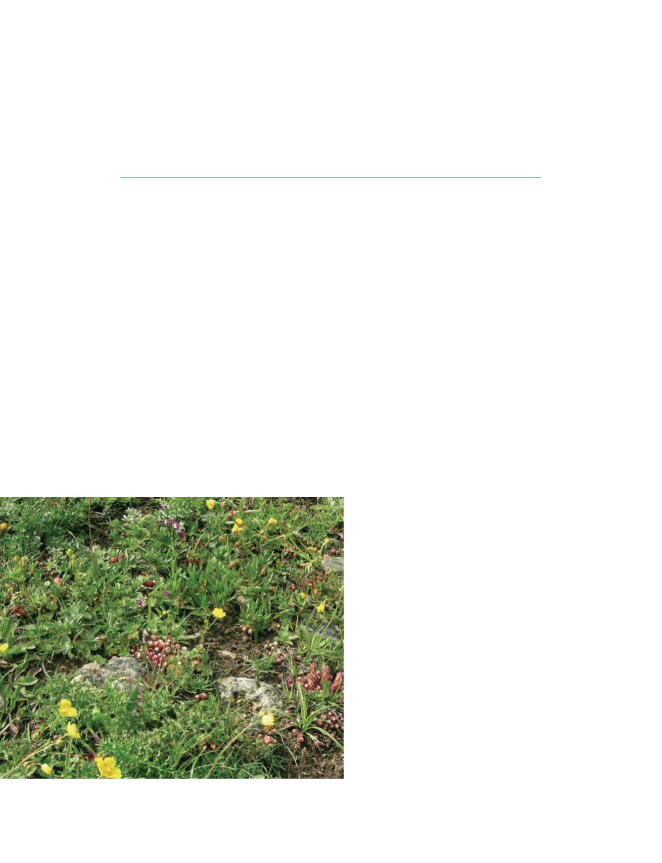
Floristic diversity in a sub-alpine meadow
Photo: Zbyn
ě
k Malenovský, Col du Lautaret, France
v
S
OCIETAL
B
ENEFIT
A
REAS
– B
IODIVERSITY