


 253 / 280

[
] 253
Applications of remote sensing
in fisheries and aquaculture
Trevor Platt, Research Scientist; Shubha Sathyendranath, Executive Director, Partnership
for the Observation of the Global Oceans; Venetia Stuart, Project Scientist, International
Ocean Colour Coordinating Group, all of Bedford Institute of Oceanography, Nova Scotia, Canada
C
ollectively, human society is responsible for the well-being
of the oceans. Various commercial conflicting interests
are concerned that range from fisheries, aquaculture, and
mineral extraction to tourism and transportation. Non-commer-
cial issues, such as maintaining a healthy state of biodiversity,
are also signifcant.
Internationally, and intergovernmentally, a consensus has been
reached that, in meeting the responsibility for stewardship of the
oceans, an ecosystem-based approach should be followed. The impli-
cation is that management decisions should be made in such a way
that the integrity of the ocean ecosystem, its structure and vital func-
tion, should not be compromised. Ecosystem-based management is
the new paradigm.
But it is far from simple to restate the new principle in operational
terms. Here, the primary requirement is for information about the
ocean and its ecosystem. First, we need to know the
spatial structure. Next, we need to know how the ocean
changes in the short term (response to weather),
medium term (response to seasonality) and long term
(response to climate change). The green plants in the
ocean (the phytoplankton) are mostly microscopic and
they respond to short-term changes in the environment
more rapidly than do the plants on the land. Ideally, we
need our information about the ocean to be updated
daily if we are to understand the mechanisms underly-
ing ecosystem response to change.
Earth observation (EO) by remote sensing is the only
way in which we could hope to collect the information
required on the appropriate timescales at the spatial scale
of the ocean. And fortunately, there is a technology avail-
able (visible spectral radiometry, often called
ocean-colour remote sensing) that enables us to produce
maps of the quantitative distribution of plant biomass,
indexed as the concentration of chlorophyll, over the
broad swath of the ocean. Chlorophyll is a pigment
found in all green plants, including the microscopic ones
living in the sea: it provides the means by which the
ecosystem can interface with its energy source, the sun.
When we look at an image of the distribution of chloro-
phyll in the ocean, we are really looking at a map of
connectivity of the marine ecosystem to the source of
its sustenance. It is the most fundamental information
we could have about the marine ecosystem.
If information is the essential requirement, and if EO
is the method to acquire it, what is the best way to apply
it? One of the important applications is in the construc-
tion of ecological indicators. These are a suite of
objective, quantitative indices intended collectively to
capture in a few numbers the condition of the ecosystem
at a given time and place. The idea is to condense the
potentially-bewildering detailed information into an
economical set of quantitative indices that should be
more simple to assimilate. When the indicators are eval-
uated in a serial manner, they afford the possibility of
detecting, and quantifying, ecosystem changes in
response to perturbations such as pollution, over-fishing
or climate change. EO has many qualities advantageous
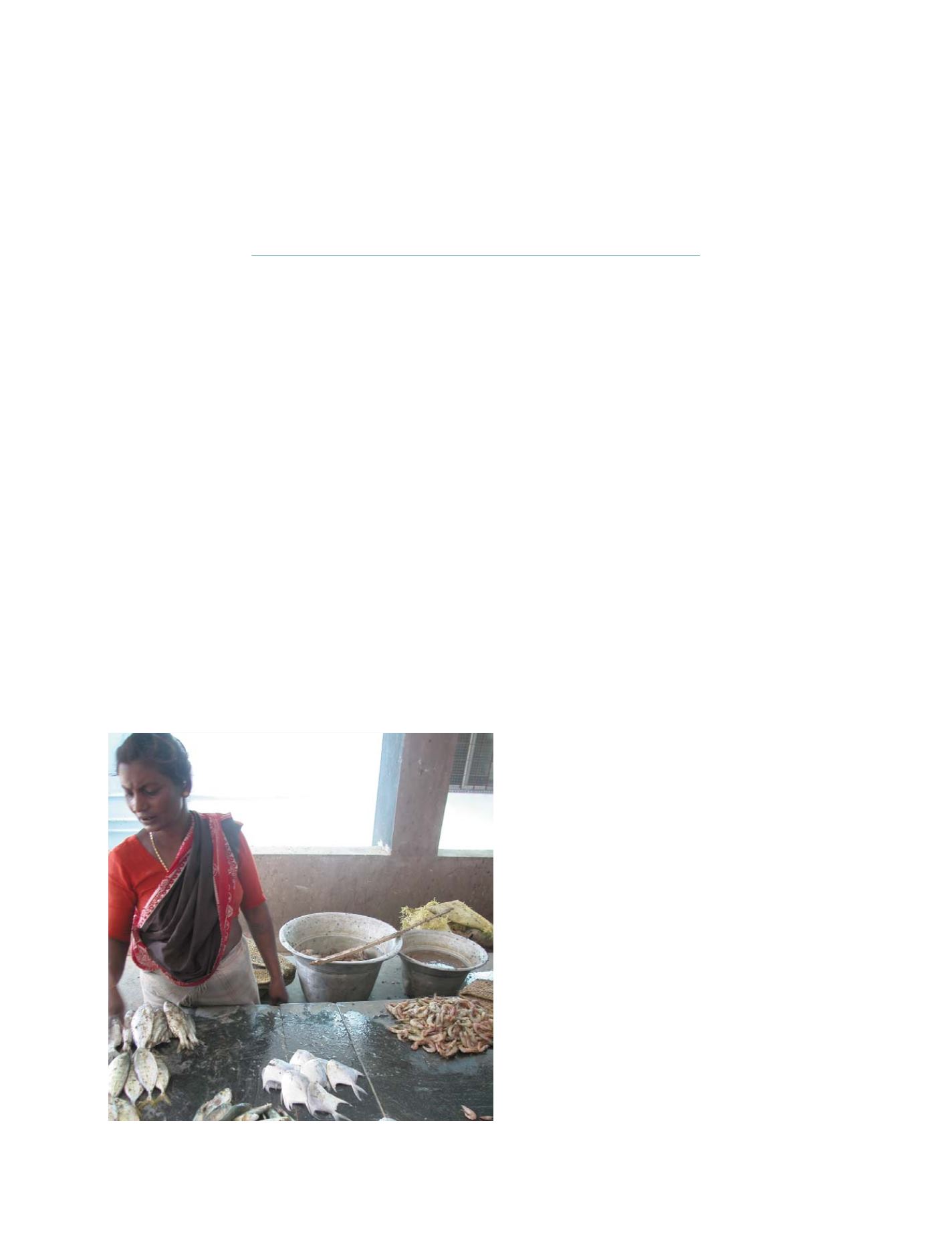
Photo: Meena Kumari, Central Institute for Fisheries Technology, Kochi, India
Local fish market in Nagapattinam, Tamilnadu, India
S
OCIETAL
B
ENEFIT
A
REAS
– A
GRICULTURE