


 249 / 280

[
] 249
Sustainable agriculture
and Earth observation
Glenn R. Bethel, US Department of Agriculture and Gregory L. Stensaas, US Geological Survey
P
roduction of food and fibre, as well as the maintenance
and restoration of soil and water resources are vital to
human welfare. Increasing population is creating greater
demand for resources, generating more waste, and is conse-
quently straining the capacity of the environment to support
human activity. High consumption and industrialization, dispar-
ity of distribution patterns of wealth and land, conflicting
politics, poverty, and inefficient technology interact with popu-
lation growth to further tax the ability of natural resources,
agriculture and forestry practices. Sustainable land use and the
prevention of land degradation have become domestic and inter-
national priorities. The Group on Earth Observations (GEO) is
committed to supporting sustainable agriculture efforts includ-
ing the economic, environmental, and social sustainability of
diverse food, fibre, agriculture, forest, and range systems.
Remote sensing essentially comprises drawing on satellite data and
aerial photography to complement field measurements and other
data collection sources. It has the potential to provide continual feed-
back on within-season production progress for remedial actions
when factors limiting production such as pests, water, nutrient defi-
ciency, or drought intervene. The same information can support
governmental activities, such as managing public lands,
monitoring for compliance with land use agreements
and resource conservation legislation, as well as detect-
ing signs of bioterrorism.
This potential cannot be realised until we can consis-
tently deliver credible products with the spatial, spectral,
and temporal resolution required to support farm level
decisions. National Aeronautics and Space
Administration (NASA), the US Geological Survey
(USGS), and the US Department of Agriculture (USDA)
work with many international organizations and use
remotely sensed data to provide objective, global, scien-
tific information to support farm level decision-making.
Farm level information can aid in crop, water, and
pest management. Meaningful agricultural monitoring
requires the integration of multiple sources of spatial,
spectral and temporal remotely sensed data with agro
climatic data. These multiple data sources need to be
well defined and integrated into the best possible deci-
sion support systems to meet the timely and accurate
information requirements of farmers, commodity
traders, and governments. If a GEO community could be
formed to provide analysis based on current factual data
for the developers of the decision support models, we
could come closer to making accurate models and/or
determining what new sensors are needed to optimize
the decision support systems and better support soci-
etal needs.
Global land observation and agriculture
sustainment
Global agricultural monitoring can improve food secu-
rity, aid in agricultural management, and prevent hunger
and starvation. Monitoring the actual changes in the
earth’s farm land and forests becomes more urgent as
land transitions from agricultural and forestry. The
analysis of global production is becoming more complex
as crops for fuel compete with crops for food, feed, and
seed. Shortages of fresh water resources for irrigation
and increases in soil salinity and arid climates could
further restrict the world’s agricultural production.
It is within this context that global coverage of high
resolution (30m, Landsat ETM+) satellite imagery for
land monitoring and agriculture sustainability becomes
so important. Agriculture assessment scientists use such
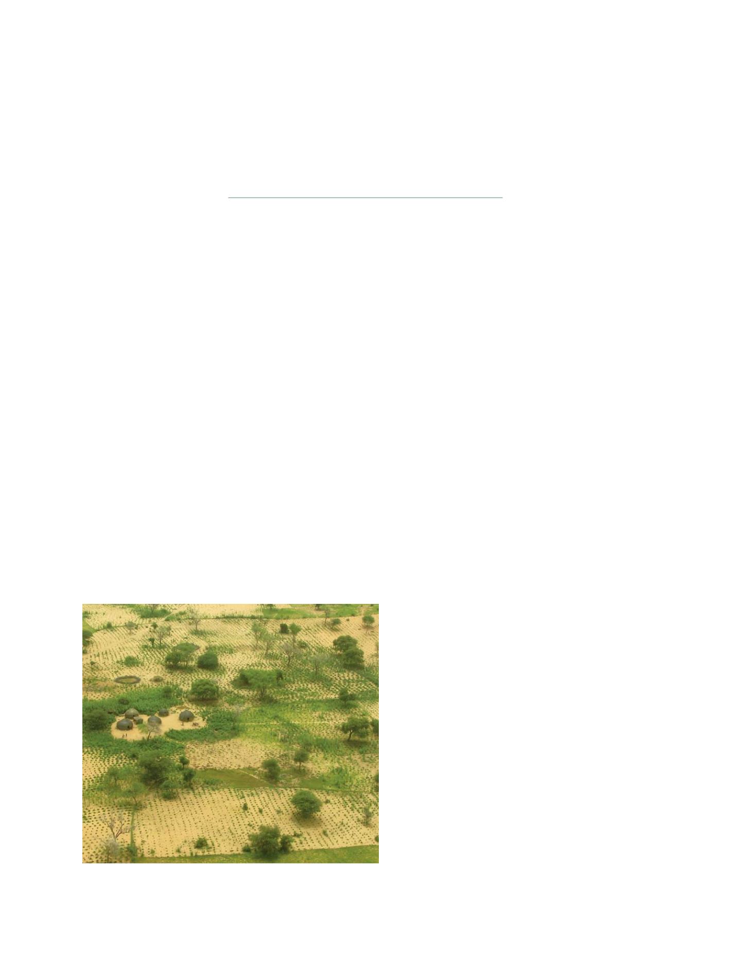
Poor production on a farm in Africa due to crop sustainment shortages
Photo: Chris Reij and Gary Tappan, SAIC contractor to USGS
S
OCIETAL
B
ENEFIT
A
REAS
– A
GRICULTURE