


 74 / 280

[
] 74
Forecasting seasonal weather patterns
GOOS enables more accurate seasonal climate forecasts and
improved strategies for better land and ocean harvests. Cost bene-
fits to the USA from better forecasts of El Niño and effects on
Australia were given earlier. A different example is the European
seasonal forecasts that were made for the winter of 2005-2006. The
coupled ocean-atmosphere models of several meteorological agen-
cies, initialized with data from the ocean observing system, predicted
an enhanced risk of a colder than average winter over Europe. Using
their model and additional statistical links between patterns in
North Atlantic heat anomalies and European winter, the UK Met
Office issued a public statement warning of a two in three chance
of a colder than average winter for northern Europe. At the end of
the winter surveys showed that more than 71 per cent of people in
the UK were aware of the forecast, and that more than 13 per cent
actually acted on the forecast. In the event much of Europe did expe-
rience a colder-than-average winter. Retrospective forecasts with
the Météo-France model show that use of ocean observations is
essential to achieve a successful model forecast of the cold winter.
Satellite-based sea level measurements
The oceans absorb more than 80 per cent of the excess heat from global
warming, making the rise of sea level a sensitive indicator of climate
change. The 15-year data set collected by satellite altimeters, when
merged with those from Argo floats and other measurements of ocean
heat content, satellite measurements of gravity over the ocean and
coastal sea-level gauges, provide the first accurate global observations
of the trends of sea-level change. These trends reveal that the rate of
sea level rise has increased from 1.7 to 3.1 mm/year. In
addition, the altimetry data shows for the first time basin-
scale decadal variability in the oceans, including El
Nino-Southern Oscillation and its impact on seasonal
floods and droughts, and longer-term changes such as the
North Atlantic Oscillation. The information on sea level
is of critical importance for coastal countries and is vital
to the very existence of many small island states.
Coastal GOOS and the GEO
Coastal Zone Community of Practice
The coastal zone is a dynamic region where the terres-
trial, oceanic, atmospheric, and human domains
converge. It supports the greatest concentrations of
resources and people, with the most rapid increase in
population density, on the planet. Consequently, coastal
ecosystems are experiencing unprecedented changes
from habitat alteration and loss, oxygen depletion,
harmful algal blooms and increasing public health risks,
coastal erosion and greater susceptibility to flooding.
The resulting conflicts between commerce, recreation,
development, sustenance, and conservation are becom-
ing increasingly contentious, politically charged, and
expensive. Resolving these conflicts in an informed,
timely and cost-effective fashion depends on significant
improvements in our ability to detect and predict
changes in coastal ecosystems. Coastal GOOS is
working toward the sustained provision of data and
information necessary for this purpose.
Coastal GOOS is developing regionally on many
fronts. Examples contributing to the development of
GOOS for detecting and predicting changes in water
quality include harmful algal blooms, the use of synop-
tic satellite ocean colour imagery, long-term time series
provided by the continuous plankton recorder (CPR),
and the development of in situ sensors that can measure
bio-optical properties, dissolved oxygen and nutrients
in real time.
Together with GRAs, GEO has established a Coastal
Zone Community of Practice (CZCP) to help coordi-
nate the development of coastal GOOS, the coastal
component of the Global Terrestrial Observing System,
and other coastal observing programmes to achieve the
benefits of GEOSS and provide data and information
needed by coastal managers, decision-makers and other
users. This integrated land-sea observing approach is
especially important given the extent to which land-
based sources of pollution impact the coastal zone, and
conversely the impacts of storm surge and sea level rise
on land.
Issues for the future
GOOS is the ocean component of GEOSS. Completing
the implementation of GOOS will provide the improved
ocean information required for society to better manage
and mitigate the impacts of climate change, natural
disasters and human activity. It will further reduce the
human health risks associated with contact with marine
waters and seafood consumption and will enhance the
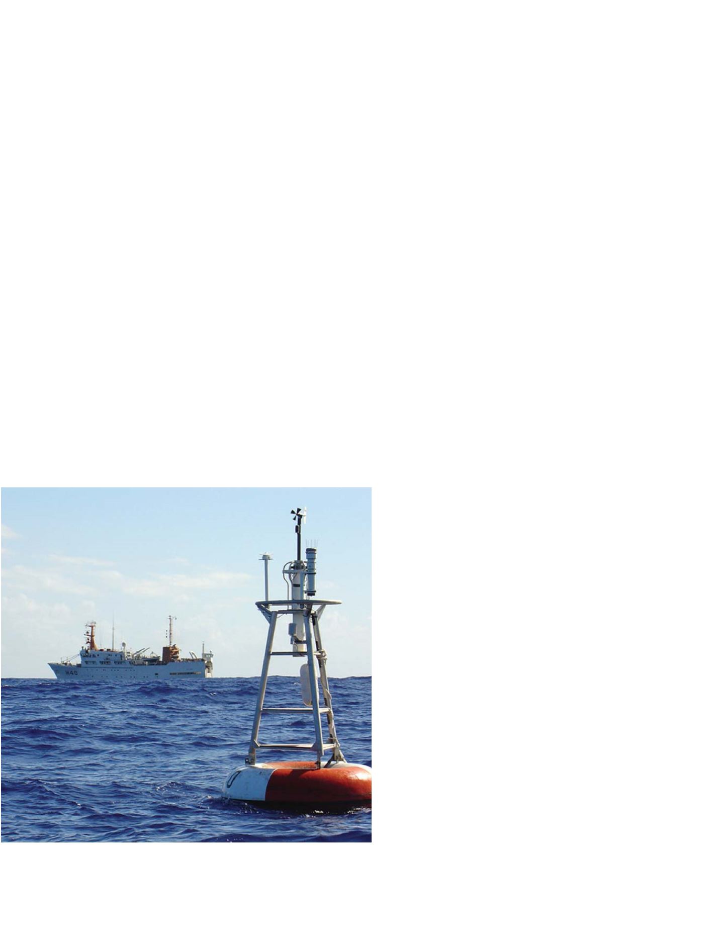
Research ship in the background, monitoring buoy in front
Photo: Paulo Arlino, www.pmel.noaa.gov/pirata
GEOSS C
OMPONENTS
– O
BSERVING
S
YSTEMS