


 121 / 288

[
] 122
H
ealth
Cross-cutting partnerships
Water management is a good example of the benefits of seasonal
forecasting in Africa, and no doubt similar applications can be
found elsewhere or in other domains such as crop yields or health
management. Interesting investigations are underway in that field,
which covers a large spectrum of potential application. Tackling
vector-borne diseases is one of the biggest challenges, but of
vital interest because of the high impact on human and animal
health, and the economy. Rift Valley Fever (RVF), chikungunya,
dengue and malaria, among other diseases, share a common factor:
mosquitoes. The lifecycle of mosquitoes is a subtle balance between
temperature and rainfall, and suitable sequences are necessary for
the development of the larvae. Being able to better characterize the
role and relationship between vector, virus and climate variability
could lead to better adaptation strategies across the tropical belt,
both for cattle management (in the case of RVF) and for humans.
This has been addressed in several projects tackling diseases and
species with input from Météo-France, in French overseas territo-
ries (for example, dengue in New-Caledonia) or Africa. The main
input to risk mapping is precipitation: a project carried out with the
Centre National d’Études Spatiales (CNES), the Pasteur Institute,
Météo-France and local sanitary agencies in Senegal, taking advan-
tage of satellite images to capture risk areas, has focused on the
contribution of seasonal forecasting for reducing the exposure to
RVF vector risk. One result was a proposition for adapted strategies
for cattle management, an area where many factors play a role. This
clearly implies that local actors take part in the adaptation process
and enrich the climate service with downstream real-life constraints
in order to create a valuable service. It was proven that seasonal fore-
casting can contribute to an early warning system, taking advantage
of various sources of information, and of a partnership between all
stakeholders and experts able to deliver that information.
Another project is dealing with malaria – different disease,
mosquito, and mechanisms to understand. It aims to use seasonal
forecasting for shaping a departmental early warning system. It also
follows the ‘tele-epidemiology’ conceptual framework built by CNES,
based on the use of satellite images. Burkina Faso is at the interface
between Northern Guinea and the Southern part of the Sahel. It has
a temporally limited rainfall season. The climatology shows high
seasonality (with important annual differences in terms of precipi-
tation and temperature), causing mosquito populations to fall each
year to levels that prevent transmission. For a malaria season to
occur, the mosquito population must grow rapidly after the onset of
the monsoon, with the right temperature, precipitation and relative
humidity in place for at least three months.
2
These factors are the
basis for a warning system taking advantage of climate information.
A field campaign has enabled the NMHS to deliver meteorologi-
cal parameters for 11 villages of the Nouna area. The observations
were employed to validate high-resolution meteorological prod-
ucts used with the remote sensing and entomological data in
order to calibrate a mosquito environment malaria risk model and
evaluate zones potentially occupied by mosquitoes. The second
contribution of climatologists qualitatively evaluated the poten-
tial of departmental seasonal forecasts. The focus was on the
meteorological parameters that are important for the mosquito
environmental malaria risk model: temperature, rainfall and
relative humidity. These are the same as the ones of the ‘fuzzy
logic’ model for the distribution of stable malaria in sub-Saharan
Africa.
3
This kind of approach is an extension of the Boolean
ones, enabling the evaluation of meteorological
conditions not only as fully suitable or not-suitable,
but also to obtain a gradient of suitability. Climate
information refines the assessment of the situation.
These types of model were first designed to esti-
mate transmission potential and extrapolations were
attempted to evaluate disease outcome. The results
showed that there is no real direct possible extrapo-
lation between transmission potential and disease
outcome. Moreover, there is often no direct link
between meteorological parameters and even trans-
mission potential. This explains the additional use of
remote sensing data in the mosquito environmental
risk model to convert the meteorological parameters,
not only as suitability gradients but also as produc-
tive suitability gradient information. Such studies
illustrate how complicated the application of related
climate information can be, and of course how critical
interaction between various scientific communities is
for solving such issues, as well as the implication of
all existing information resources – satellite, epide-
miological, climatological information etc.
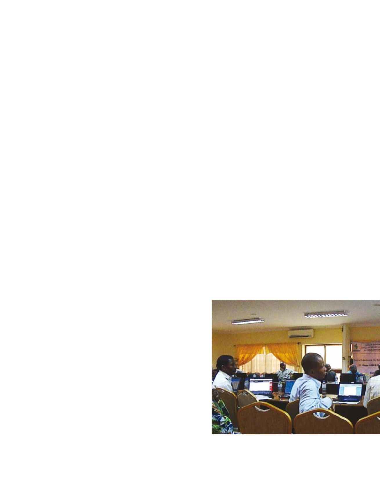
Capacity building in Africa
One key issue when tackling societal application of
seasonal forecasting is the knowledge available in
both the climate and the user communities. From
this perspective, capacity building becomes crucial.
The Climate Outlook Forums (COFs) provide very
good example of capacity building to the benefit of
both communities, especially in West Africa with the
Presao, one of the first COFs. During the pre-forum
workshops, climate knowledge is built or improved
thanks to the presence of regional and international
climate experts. Such meetings can be tailored to the
user domain (like for the water resource domain in