


 127 / 288

[
] 128
D
isaster
R
isk
R
eduction
applications, which developed specifically tailored products for
the DSS not available from NOAA. Development of the website
leveraged existing resources and capabilities from across NOAA.
Project evaluation has come from feedback from stakeholders,
which has been extremely positive. The NOAA DSS website was
advertised by North Dakota’s Senator Conrad on the day of its
launch, and the story was subsequently picked up by many local
and state newspapers. Feedback indicates that many local commu-
nity members, as well as other federal agencies, including USACE
and USGS, use the site routinely to monitor conditions at Devils
Lake to help their planning for ongoing activities, such as USACE’s
building of levees. The Federal Emergency Management Agency,
Department of Transportation/Federal Highway Administration, and
local authorities have access to inundation maps through the DSS to
help them assess areas already flooded and the time of flooding, as
well as potential areas that will be flooded as the water rises.
The DSS was implemented through a concerted effort by NOAA
staff. Because of the short turnaround time required for launching
the site, there was not time to engage in a formal process to gather
stakeholder requirements, and thus staff familiar with user needs
designed the site to answer frequently asked questions:
• What is it like now?
• What was it like before?
• What will it be like later today, tomorrow, next week, or
next month?
Information already available across NOAA and partner agencies
was brought into one location to make it easily accessible to answer
the relevant stakeholder questions.
The greatest challenge was identifying resources to support the
project, in particular, funding to support the external contractor.
While some funds were identified, future work beyond the contract
period in support of the DSS by the contractor is not funded. Also,
while much of the website content is automated, updates
to content have not been routinely made due to the lack
of dedicated staff support.
Looking to the future
The DSS is automatically updated with the latest
weather, water and climate information and will
continue to operate this way as long as there is a strong
threat of catastrophic overflow of the lake. The external
contractor on the project continues to improve the site’s
science-based products and conduct research on the
role of climate variability and large-scale atmospheric
flow patterns in contributing to variations in the water
level of Devils Lake.
While resourcing projects is always a challenge, this
example demonstrates that leveraging existing resources
to develop decision support services to stakeholders can
be accomplished with little cost. In this case, relevant
products and information already available or easily
developed were brought together at one location to
make them readily accessible to stakeholders. The DSS
was made available within three weeks of initiation, and
in the event that additional applications are needed and
funding is identified to support their development, they
can easily be integrated into the system.
Addressing GFCS principles
The DSS addresses several principles of the Global
Framework on Climate Services (GFCS). By ensuring
greater availability of and access to NOAA services,
including climate, weather, and water services, it
both meets and exceeds Principle 2. Using the DSS,
NOAA was able to make use of global models to make
predictions and meet the needs of regional and local
stakeholders, in accordance with the third GFCS
Principle of addressing global, regional, and national
geographic domains.
Principle 4 states that operational climate services will
be the core element of the GFCS. This project exemplifies
the use of operational climate services as information on
the site is updated in operational timeframes. Users are
able to get the most up-to-date information on climate,
weather, and water relevant to the region.
The website was built as a result of engagement with
stakeholders who were faced with a particular challenge
– in this case, the potential catastrophic overflow of
Devils Lake. Other partners were engaged to provide
the maximum benefit for stakeholders. For example,
geographically relevant data from and links to other
agencies are available on the DSS for use by Devils Lake
decision makers. Thus, the project addresses GFCS
Principle 8, building the framework through user-
provider partnerships that includes all stakeholders.
The DSS has been an example of agency respon-
siveness to the needs of stakeholders. It provides
information relevant to an ongoing environmental
hazard to help stakeholders manage their risk and
implement strategies to make the best use of their
financial investment.
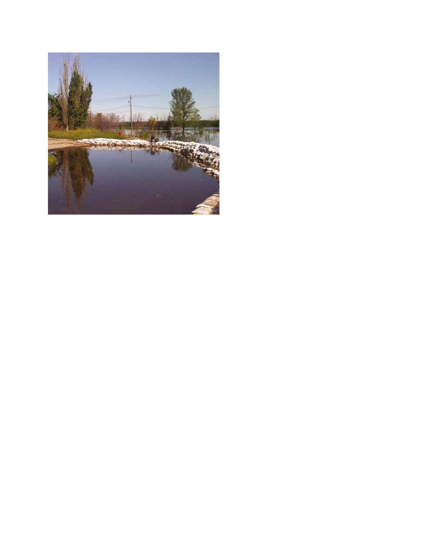
Many local community members and other federal agencies use the DSS site to
monitor conditions at Devils Lake and inform their planning activities
Image: NOAA