


 126 / 288

[
] 127
D
isaster
R
isk
R
eduction
The NOAA team, already active in providing infor-
mation for decision makers as part of its mission
responsibilities through the National Weather Service
(NWS), was alerted due to ongoing flooding in the
Devils Lake area. The team subsequently developed
strategies to support inter-agency efforts, which
involved a 90-day response and included an inventory
of existing agency activities in the Devils Lake area
and a report with options and recommendations for
near-term actions to assist the population affected by
flooding. The North Dakota Delegation, made up of the
two sitting Senators from North Dakota, Senators Kent
Conrad and Byron Dorgan, and the at-large congres-
sional member, Congressman Earl Pomeroy, asked the
inter-agency team for unprecedented federal outreach
and cooperation to assure the Devils Lake communities
of NOAA’s response to their critical situation.
The inter-agency effort included an assessment of
activities focused on assisting communities affected by
the flooding, such as Minnewauken, a city that will
potentially be relocated as a result of it; the people of
the Spirit Lake Nation, a Native American commu-
nity on the south side of the lake; and other cities
surrounding the lake that will be directly impacted
by the flooding. NOAA’s DSS provides information to
these communities, the federal agencies with ongoing
activities in the region, and communities downstream
from the point of lake overflow, such as Fargo, North
Dakota. As much of the information on the website is
gathered from products already available across NOAA,
funding for the project was needed only to support
team travel to stakeholder locations and an external
contractor, Prescient Weather, a privately owned firm
with expertise in science-based, advanced technology
through briefings on weather and climate at public hearings held in
the Devils Lake area. The team has also conducted outreach to the
local at-risk communities.
Continued NOAA climate services in the region centre on the
Devils Lake Decision Support System (DSS), an online climate
information database designed, developed and implemented by the
NOAA team. The DSS consolidates NOAA data specifically for the
region, provides basic information necessary for decision makers,
and makes that information easily accessible for all stakeholders.
Examples of the information on the website include:
• Current weather conditions
• Current stream, river and lake levels
• Weather, water, and climate forecasts, including local weather
forecasts out to seven days, streamflow forecasts for short-term
flash flood guidance and probabilistic hydrologic outlooks out
to four months, lake wind and wave forecasts, and probabilistic
climate forecasts out to a year
• Data, including local climatology
• Satellite imagery
• Assessments such as hazard assessments and a NOAA Climate
Assessment
• Inundation maps and other climatologic information specifically
for Devils Lake
• Links to other information sources such as the US Geological
Survey (USGS).
A detailed look at the service
In June 2010, NOAA, as part of the Department of Commerce and
other federal agencies including the US Army Corps of Engineers
(USACE), the US Environmental Protection Agency, the Office
of Management and Budget, and the Departments of Agriculture,
Defense, Homeland Security, Interior, Transportation and State,
were charged with addressing the ongoing and potentially disastrous
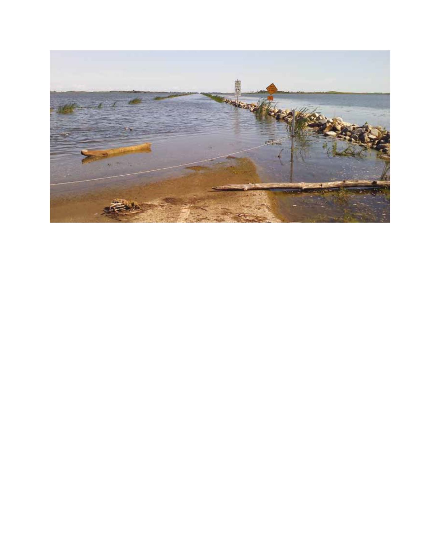
flooding issue at Devils Lake.
The risk of catastrophic flooding to the local communities is deemed unacceptable without further mitigation actions
Image: NOAA