


 275 / 288

[
] 276
C
apacity
D
evelopment
• Varying rainfall patterns across the country (31 per
cent reduction to 16 per cent increase)
• Shorter rainy seasons and prolonged periods of
drought, especially in the central regions of the
Zambezi River Valley
• Temperature increases on average of one to two
degrees Celsius by 2050
• Rising sea levels.
With growing uncertainties, hydromet information
becomes increasingly important for understanding,
preparing and managing the implications of climate
change.
Improving hydromet services
The type, source and accessibility of hydromet infor-
mation vary between the DNA, ARAs and INAM. For
hydromet service agencies, strengthening their rela-
tions with and understanding of end-user needs tends
to improve the quality of information in countries with
advanced levels of services. Although this is not the sole
solution to improving services, the proposed support
for Mozambique will give due attention to the user-
relations of DNA, the ARAs and INAM.
For general use, the format of hydromet informa-
tion products are ususally ‘bulletins’ where the scale
of monitoring or forecasting is either basin (such as
for the ARAs and DNA) or provincial (such as for
INAM). In certain cases, the information may be
tailored to the user’s needs. This is the case for the
aviation sector (eg monitoring and forecasting at
airports) or providing data in excel on rainfall and
run-off for dam operators.
ring floods that are often associated with the paths of tropical
cyclones. Drought conditions are also commonplace – particularly
in the southern region where the greater Maputo metropolitan area
is located and in the central provinces along the Zambezi River
where roughly 20 per cent of Mozambicans live and over half the
country’s mean annual run-off is.
Since the catastrophic floods of 2000 and 2001, the social and
economic impacts of extreme events have been researched in detail.
For example, cyclone Eline in 2000 was estimated to have caused
losses, damages and reconstruction costs equivalent to 20 per cent
of country’s gross domestic product in addition to loss of human
lives and livelihoods.
In 2010, the World Bank estimated that merely four per cent of the
potential 2.7 million hectares in Mozambique were developed with
equipped irrigation. Because almost 80 per cent of Mozambicans
depend on small-scale farming for food security and income, and the
area they farm represents almost 97 per cent of total cultivated land,
harnessing water and planning for weather events is essential for
crop production – especially considering that 60-80 per cent of rain
falls between December and March during the rainy season. Equal
to the potential for agriculture, Mozambique’s rivers could provide
some 13,000 megawatts in hydropower capacity. Yet infrastructure
development is low and the vast majority of the country lacks access
to electricity. In the Southern African Development Community,
Mozambique has some of the lowest level of development in both
irrigation and hydropower. It is also uniquely positioned regionally
as the downstream riparian of nine of its 13 large rivers. The fact that
more than 50 per cent of the total mean annual run-off is generated
outside Mozambique’s boundaries further elevates the importance of
having a sound understanding of water flows and weather patterns.
Furthermore, the climate change scenarios of the
Intergovernmental Panel on Climate Change predict significant
implications for Mozambique. Global circulation models indicate:
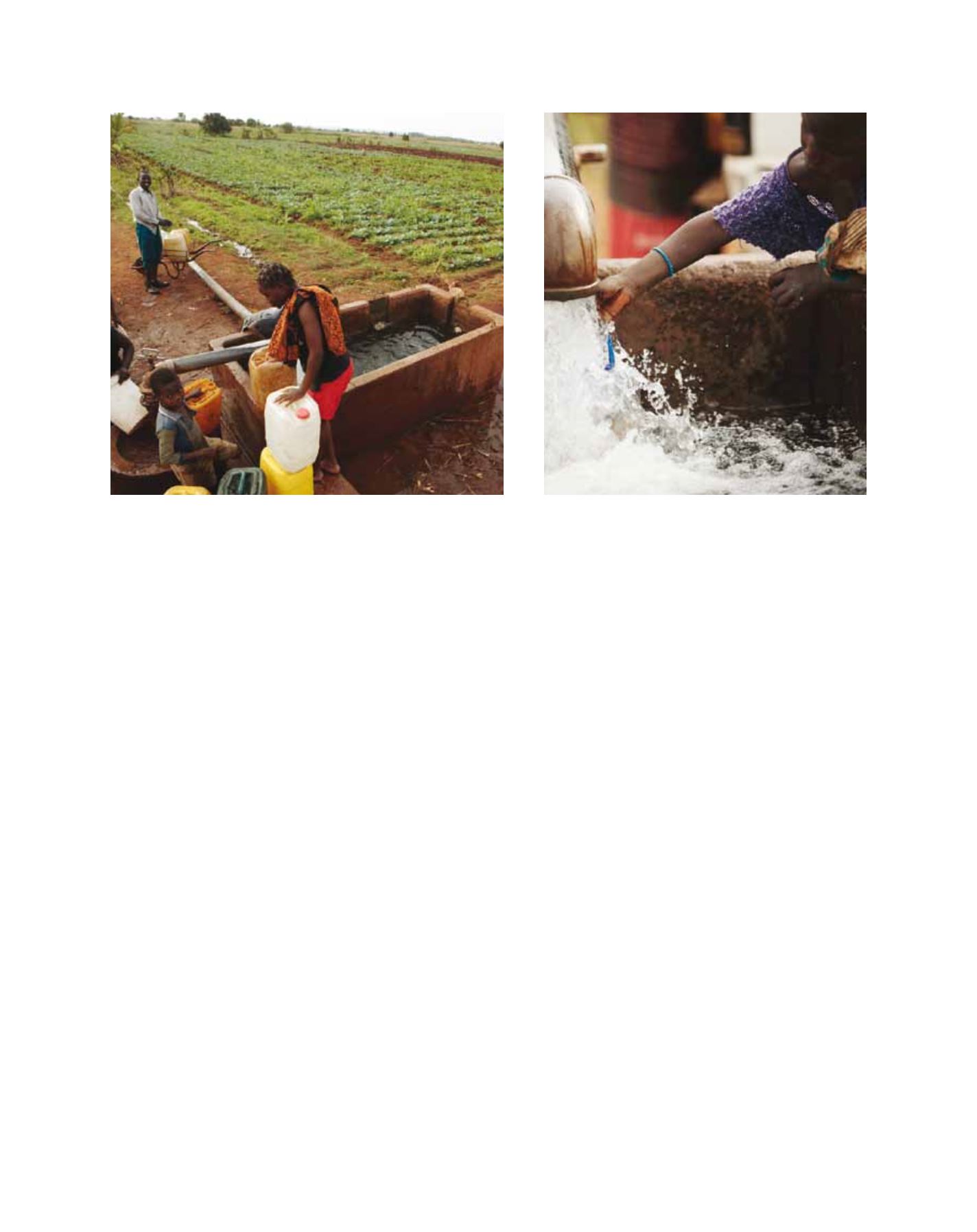
80 per cent of the population depend on small-scale farming
Local water supply
Image: © World Bank/John Hogg
Image: © World Bank/John Hogg