


 118 / 287

[
] 119
O
bserving
, P
redicting
and
P
rojecting
C
limate
C
onditions
EUMETSAT has already made good progress in a programme
for the third generation of operational geostationary satellites.
The unique nature of geostationary measurements and their high
temporal frequency provide the capability to observe sub-synop-
tic atmospheric and surface events – particularly precipitating
cloud systems – and to characterize the diurnal cycles of the
atmospheric-surface system. Characterization of the annual,
as well as diurnal cycles, is crucial for an understanding of the
physical processes determining the status of the climate system
and its potential changes.
Since the launch of Metop-A in October 2006, EUMETSAT
has been operating a polar orbiting satellite system, called the
EUMETSAT Polar System (EPS), with a long-term operational
and global perspective. Through its innovative payload, the
Metop satellite can provide information on a large number of
key climate variables over at least 14 years of operational service
on a global scale.
The hyper spectral Infrared Atmospheric Sounding
Interferometer (IASI) allows the retrieval of temperature and
moisture profiles with high accuracy (1 Kelvin, 15
per cent, respectively) over one-kilometre layers. IASI
also allows the observation of trace gases relevant
to the greenhouse effect and for atmospheric chem-
istry. The Global Ozone Monitoring Experiment-2
(GOME-2) continues to measure ozone profiles and
related trace gases with high accuracy. The Global
Navigation Satellite System Radio-occultation
Atmospheric Sounder (GRAS) also provides informa-
tion on temperature and humidity profiles, with the
advantage that no adaption of calibration between
subsequent satellites is required for the creation of
long-term data sets. The observations are absolute,
based on time. From the other instruments on Metop
– the Advanced Very High Resolution Radiometer
(AVHRR), Advanced TIROS Operational Vertical
Sounder (ATOVS) and Advanced Scatterometer
(ASCAT) – long-term climate records can be derived,
especially with regard to AVHRR and ATOVS, which
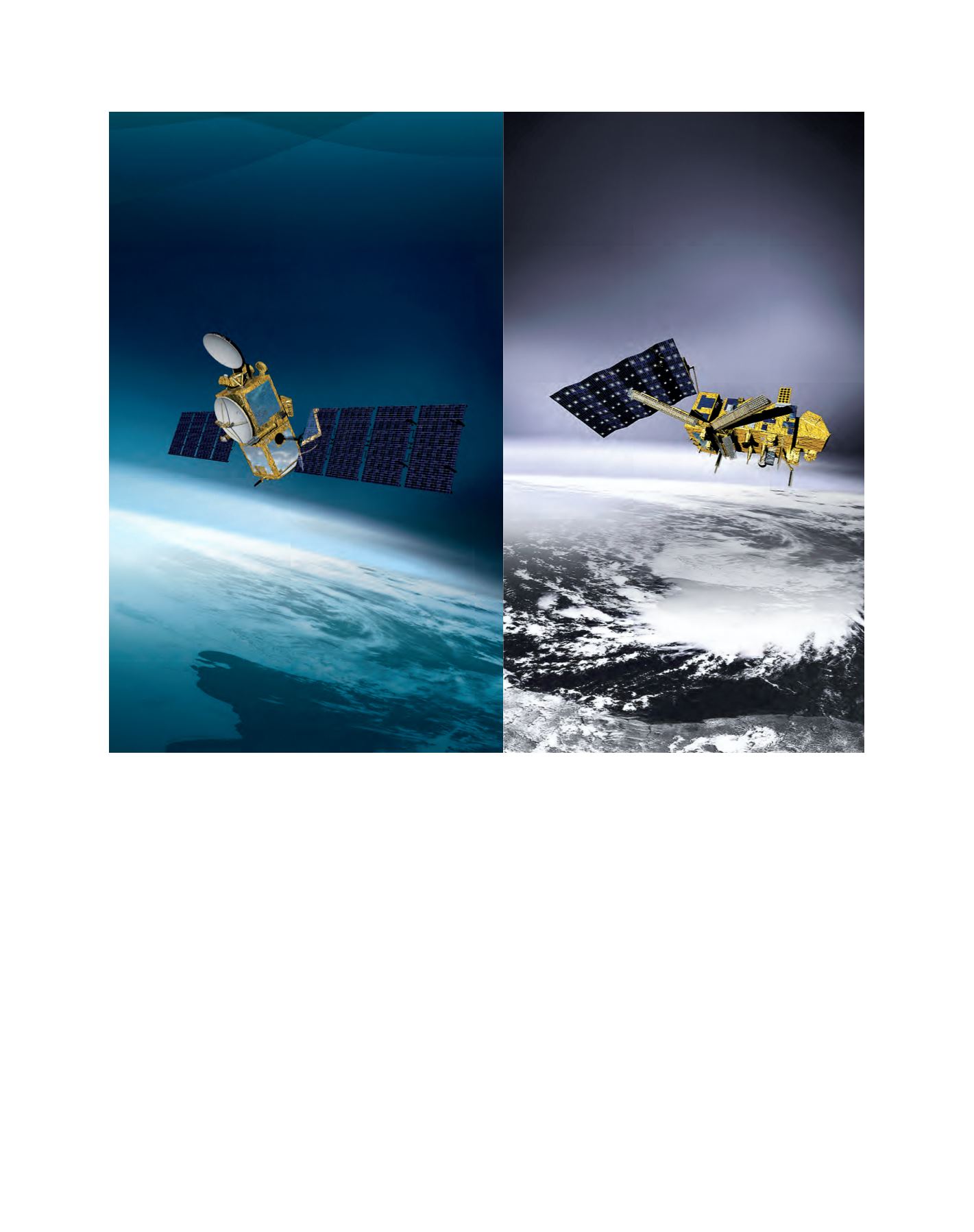
Images of the Ocean Surface Topography Mission/Jason 2 satellite (left) and the Metop-A, which was launched in October 2006
Image: EUMETSAT