


 114 / 280

[
] 114
ous page). For example, a regular user of the International Charter
'Space and Major Disasters' may continue to access the related portal
directly, without going through the GEOPortal.
1
Another user may
however opt to access the GEOPortal (interface 1) and select the SBA
'Disasters' to be pointed to all portals within GEOSS supporting disas-
ters (interface 3). As a matter of fact, the GEOPortal allows a user to
find and be linked to other portals registered within a given SBA.
The interface between the GEOPortal and the community and other
portals of the GEOSS can make use of different mechanisms. It may
use Web services, if available from the community and other portals
to access metadata and data, or it may harvest metadata from the
community portals, i.e. regularly collect data and import them locally
within the GEOPortal. Or the GEOPortal may simply provide a link
to the community and other portals. In addition, the GEOPortal may
receive and display alert messages originating from Portals within
GEOSS. If these alert messages contain a geographical reference they
may be displayed on the GEOPortal. This allows immediate visibility
and localization of events such as disasters.
It is understood that each of the community and other portals may
be directly linked to a number of resource made available by the
GEOSS member or participating organization. Such resources may
comprise the direct access to data for download, dissemination services
for data such as the service provided through GEONETCast, process-
ing services and modeling services. With the help of the GEOPortal a
user may discover the Community Portal most suited to their needs.
Another powerful way of accessing the individual resources and
services of GEOSS is through a query interface between the GEOPortal
and the GEOSS clearinghouse (interface 4). For example, the clear-
inghouse provides the GEOPortal with the capability to initiate a
distributed catalogue search for specific data sets. The actual query
into the GEOSS resources is hidden to the GEOPortal (interface 5),
but the results will be displayed to the user of the GEOPortal, who
may select a particular data set and require its display. This is a service
provided by the GEOSS clearinghouse to the GEOPortal. Subsequent
display of retrieved data sets may be supported by map display in a
number of ways, including display projected on GoogleEarth.
In addition to the interfaces discussed above, the GEOPortal also
provides a link to the home page of the GEO Secretariat (interface 6).
This provides information about GEO and other organizational infor-
mation. And the GEOSS registry may be linked to the
GEOPortal to update its information on resources made
available in GEOSS (interface 7).
All interfaces between the GEOPortal and any portal
of the GEOSS shall be as open as possible, using encod-
ings and schemas that confirm to OpenGIS specifications
where possible.
The GEOPortal – user interface and navigation
As with all portals, the GEOPortal provides various ways
to discover and access information. For example, consid-
ering GEONETCast, quick links from the GEOPortal
front page using appealing graphics take the user directly
to a summary page for the GEONETCast service.
Browsing resources associated to the SBAs will also lead
to an SBA main page, a page listing SBA relevant services
and a link to a particular service like GEONETCast. Here
the user is provided with to sufficient summary informa-
tion to evaluate the resource before needing to leave the
portal to access the referenced website.
Whereas the definitive list of data sets and resources
should be available via queries of the GEOSS clearing-
house, many data sets and services will merit to be
showcased via the GEOPortal – illustrating the benefits of
earth observation to decision makers and the general
public. As an additional feature, the GEOPortal supports
the display of alerts and remote feeds to provide up-to-
date information on major events of relevance to GEO.
GEOPortal operations
The overall operations of the GEOPortal are under the
authority of the GEO Secretariat, but the day-to-day oper-
ations are expected to be provided by an organization on
behalf of the Secretariat. Typically, this can be achieved
by operating the GEOPortal within the operations set-up
of other existing portal services of an Earth observation
user information service. The quality of service expected
from the GEOPortal will be comparable to that of exist-
ing operational services of such an operator.
At present, GEOPortal operations are part of the Initial
Operating Capability (IOC) of the GEOSS. However,
already these initial operations are not limited to the
operations of the technical infrastructure of the under-
Source: www.geoportal.org
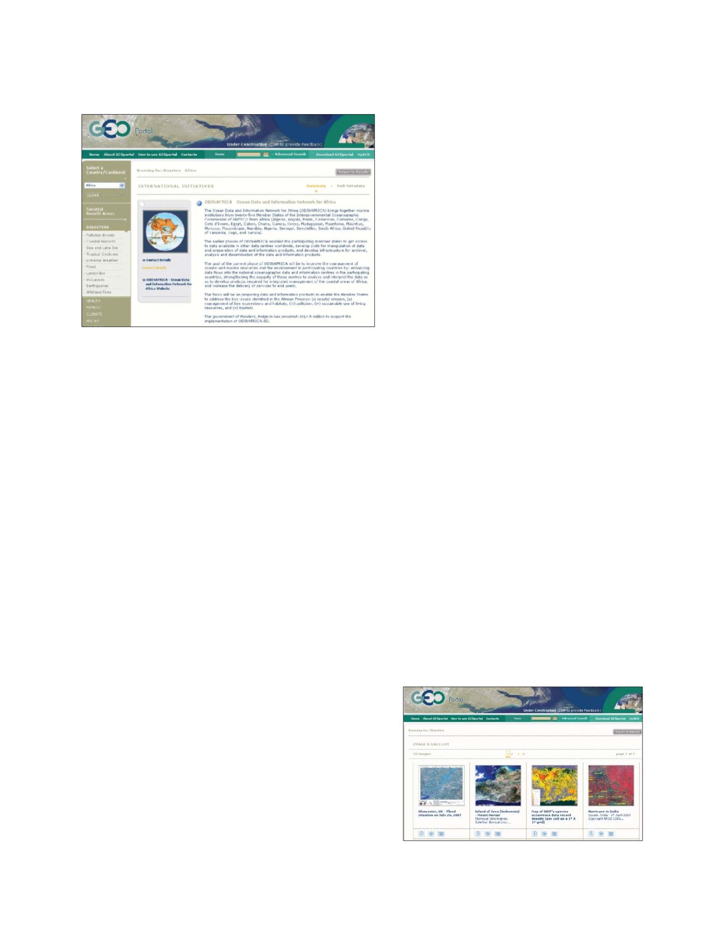
Information on international initiatives that the GEOPortal can provide
A gallery of showcase images is made available in support of the
GEO outreach
Source: www.geoportal.org
GEOSS C
OMPONENTS
– D
ISSEMINATION
/I
NFORMATION
S
YSTEMS