


 141 / 280

[
] 141
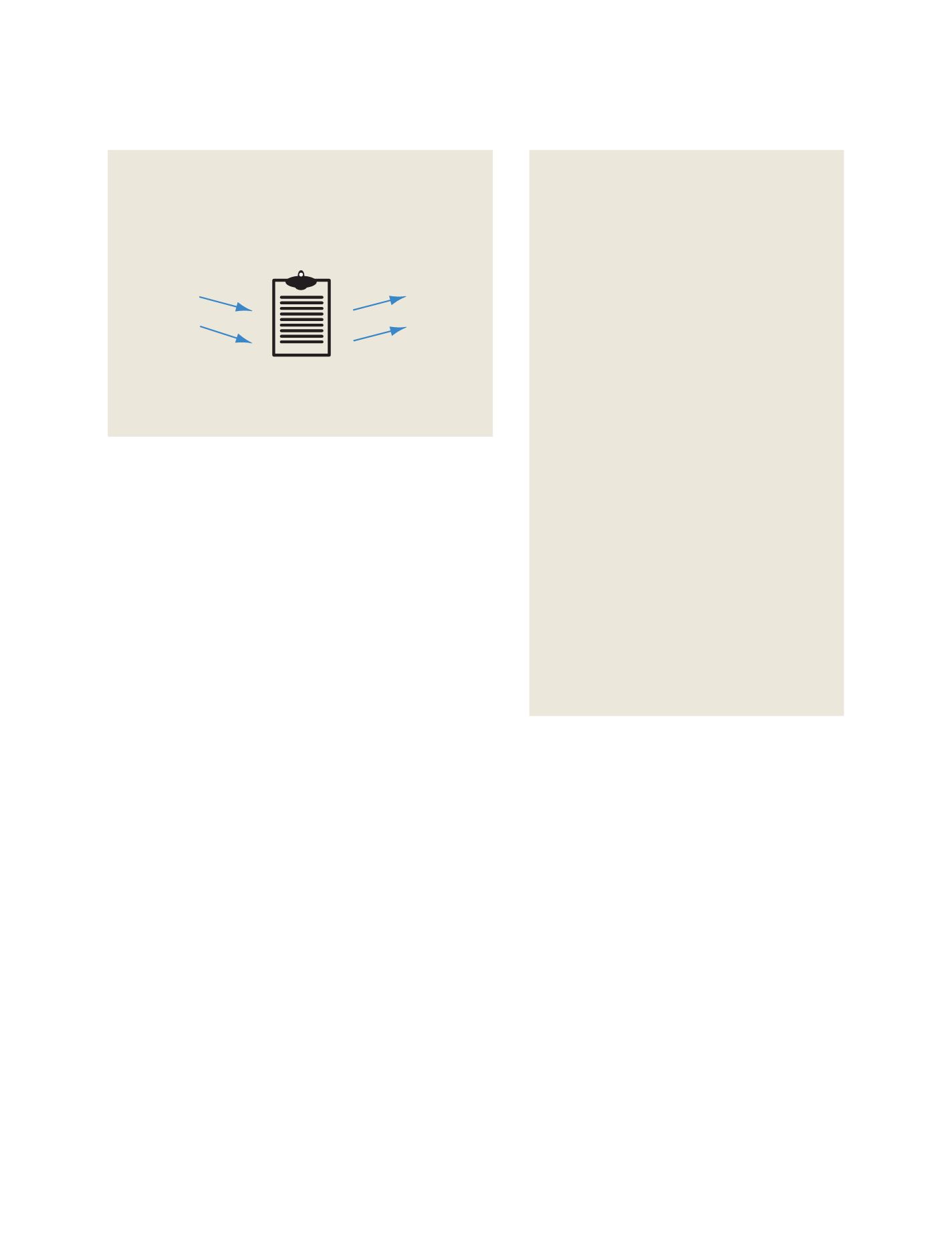
CAP alert messages can also be used at the actual sensor systems,
as a format for direct reporting of relevant events to collection and
analysis centres.
CAP format for warning messages
Effective warning systems should reach everyone who is at risk,
wherever they are and whenever the event occurs, yet not alarm
people unnecessarily. Systems must be easy to use, reliable and
secure. Messages must be accurate, specific and action-oriented.
Messages must also be understandable, with attention to the prior
knowledge and experience of the receivers. It is also critical that
times, places and instructions are easily understood.
In addition to text instructions and a description of the event, CAP
messages convey the event’s ‘Urgency’, ‘Severity’ and ‘Certainty’.
Urgency describes how much time is available to prepare, Severity
describes the intensity of the impact, and Certainty states how confi-
dent is the observation or prediction.
An event is typically assigned to a category (e.g. geophysical, mete-
orological, safety, security, rescue, fire, health, environmental,
transportation or infrastructure). A CAP message can also include
digital images and audio. Including audio in a CAP message allows
for broadcasting a warning directly on radio, without requiring an
announcer to read the message.
Each CAP message has a unique identification number, and may
reference related CAP messages. CAP messages include the status
and time sent, allowing one message to serve as an update or cancel-
lation of a previous message. CAP messages are compatible with
digital encryption and signature techniques that ensure the reliabil-
ity and security of the message.
A CAP message can have multiple segments. This allows parts of
the message to be tailored for different audiences and languages.
Each segment also has a geographic description, so that multiple
segments might have information for different areas. For example,
perhaps an industrial fire threatens a major explosion. The alerting
official prepares one message with separate instructions for three
areas: evacuation within a mile of the fire; shelter-in-place for those
in the dispersion plume, and warning for aircraft to stay above 2,500
feet near the fire. The sender typically designates geographic areas by
drawing on a map while creating the CAP message.
Call to action for GEO
Although responsibility for warnings is a matter for local
authorities, the Group on Earth Observations (GEO) is
a unique forum for coordinating natural hazards infor-
mation worldwide. All-hazards, all-media public warning
applies to eight of the GEO societal benefit areas:
• Disasters – natural and man-made hazard alerts
• Agriculture – disease, pests, drought alerts
• Biodiversity – invasive species alerts
• Ecosystems – oil spill, algal bloom alerts
• Energy – infrastructure, geomagnetic storm alerts
• Health – disease outbreaks, public health alerts
• Water – floods, droughts, water quality alerts
• Weather – severe weather alerts.
In 2004, many lives were lost due to ineffective public
warning even after detection of the tsunami. Today, GEO
is helping to raise consciousness about standards-based
all-hazards, all-media public warning. Soon, more
actions will follow, by ministers whose agencies create
alerts, and by ministers whose agencies regulate infor-
mation and communications technology.
Hazards
Fire
Flood
Landslide
Eathquake
Volcano
Tsunami
Typhoon/Hurricane
Disease
Public Safety
Law Enforcement
Siren
Television
Telephone
Cell Phone
Satellite
Internet
Radio
Fax
Common Alerting Protocol (CAP)
Media
Source: Eliot Christian
CAP diagram
CAP can replace single-purpose interfaces between alert sources and
dissemination media
CAP coding
An example of a CAP message, warning of a severe
thunderstorm. By using standardized coding, the warning
can reach those at risk, across all communications media.
<?xml version = “1.0” encoding = “UTF”-8”?>
<alert xmlns = “urn:oasis:names :tc: emergency :cap:1.1”>
<identifier>KS TO1055887203</identifier>
<sender>KS
TO@NWS.NOAA.GOV</sender>
<sent>2003-06-17T14:57:00-07:00</sent>
<status>Actual</status>
<msgType>Alert</msgType>
<scope>Public</scope>
<info>
<category>Met</category>
<event>Severe Thunderstorm</event>
<responseType>Shelter</responseType>
<urgency>Immediate</urgency>
<severity>Severe</severity>
<certainty>Observed</certainty>
<senderName>National Weather Service Sacramento
CA</senderName>
<headline>Severe Thunderstorm Warning</headline>
<description>Radar indicated a severe thunderstorm
over Alpine County… moving southwest at 5 mph.
Hail…intense rain and strong damaging winds are likely
with this storm.</description>
<instruction>take cover in a substantial shelter until the
storm passes.</instruction>
<area>
<areaDesc>extreme north central Tuolumne County in
California, extreme northeastern Calaveras County in
California, southwestern Alpine County in
California</areaDesc>
<polygon>38.47,-120.14 38.34,-119.95 38.52,-119.74
38.62,-119.89 38.47,-120.14</polygon>
</area>
</info>
</alert>
Source: Eliot Christian
GEOSS C
OMPONENTS
– P
REDICTION
S
YSTEMS