


 146 / 280

[
] 146
GEOSS and the prediction of short-term
changes in the oceanic environment
Ian T. Hunter, Principal Researcher, South African Weather Service
O
n 14 October 2007 an Apex profiling float belonging to
the United Kingdom surfaced 200 nautical miles to the
northwest of Cape Town. It had just completed a ten-day
operational cycle, spending most of its time drifting at 2,000
metres then rising slowly to the surface, whilst measuring water
pressure, temperature and salinity. The data is made available
semi-real-time via the satellite-based Argos data collection
system. This particular buoy was deployed in September 2005
by the
SA Agulhas
on her way to Gough Island, and has since
completed 76 such cycles.
Apex buoys are just one of several different types of profiling floats
which make up the Argo network. In October 2007 there were over
2,900 active floats, forming a dense network across the global oceans.
This observation system is but one of many that fall under
the umbrella of GEO’s Global Earth Observation System
of Systems (GEOSS). Another such system is the World
Weather Watch (WWW) of the WMO. Within WWW
the South African Weather Service (SAWS) has a dense
network of land-based observation sites and also acts as
an important communications hub in the Global
Telecommunications System.
With regards to marine observations SAWS has main-
tained a network of drifting weather buoys in the South
Atlantic for three decades. The service has three island-
based automatic weather stations and runs a
comprehensive measurement programme on the
SA
Agulhas
that covers surface and upper air. This vessel also
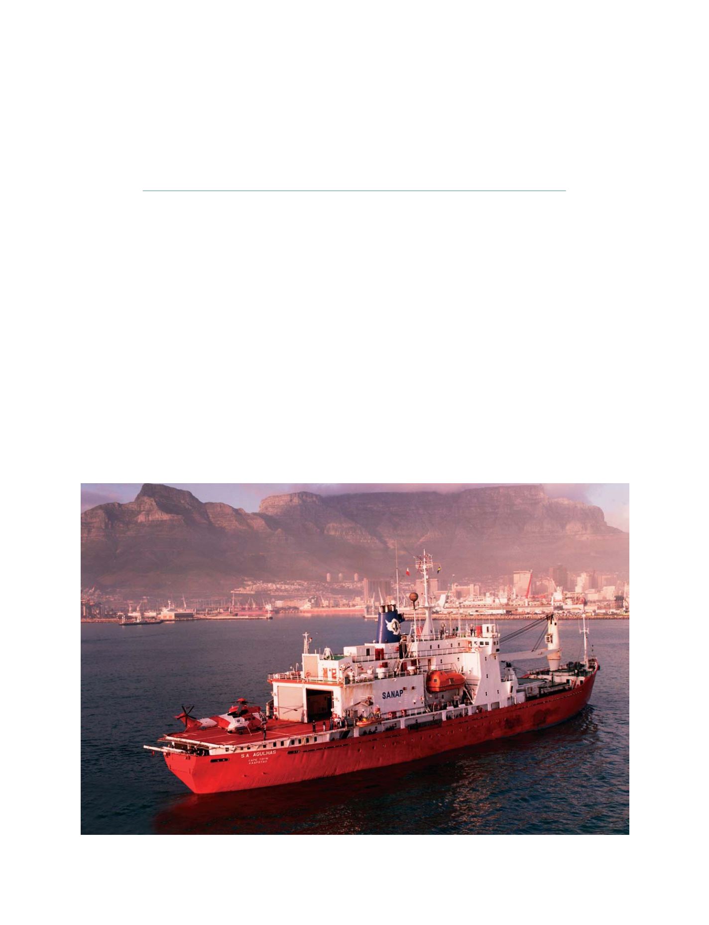
The polar relief vessel
SA Agulhas
owned by the South African Department of Environmental Affairs
Photo: courtesy Smit Marine South Africa
GEOSS C
OMPONENTS
– P
REDICTION
S
YSTEMS