


 147 / 280

[
] 147
Modelling the ocean – short-term ocean prediction
Much of the focus on ocean observing systems has been
on the modelling of the oceanic environment in order to
provide long-term predictions of change, even to the
extent of climate trends. However the ever-increasing
network of marine observing platforms, fixed and free-
drifting, is just as valuable as input to the numerical
models which predict what might be referred to as ‘ocean
weather’, which is to say, changes in the ocean environ-
ment over periods of a few hours to several days.
Obviously this data has to reach the modelling centres
as soon as possible after the observation time.
Fortunately most oceanographers recognized the benefit
of getting data in real-time mode some time ago. With
a fixed platform such a wave-measuring buoy or a tide
gauge one can at least rectify any fault before too much
valuable data has been lost. Even in the case of drifting
platforms new generation satellite data communication
is two-way, making it possible to activate backup sensors
or program transmission changes.
A lot of additional responsibilities tend to be given to
National Meteorological Services (NMS) which are not
directly related to meteorology. Indeed, some have no
relation to meteorology at all. This is simply because
NMS are often the only national service which operates
day and night, 365 days a year. An example of the former
is the prediction of ocean waves. Although surface winds
play a very important role in their generation, they are
essentially still in the realm of the oceanographer. The
provides an important platform for the deployment of buoys for the
Global Drifter Program as well as the Argo project. SAWS operates
manned weather stations on Gough and Marion Islands, where mete-
orologists record surface data and do atmospheric soundings twice
per day.
Observing the ocean from space
The value of satellite-based remote sensing of the earth cannot be
overemphasized, particularly over the ocean where in situ data may
be very sparse. Low earth orbiting satellites measuring upwelling radi-
ation in the visible, IR and far IR portions of the electromagnetic
spectrum provide information on a variety of ocean features, at an
ever-improving resolution. Particularly important however are those
sensors, active and passive, which make use of the microwave portion
of the spectrum to essentially bypass the blocking effects of cloud
cover and precipitation, and to also continue observations in the dark.
Typical examples of satellite-derived ocean surface parameters are
ocean colour (chlorophyll), sea surface temperature, wind vectors,
wave height and sea level. The synthetic aperture radar is a particu-
larly versatile satellite-borne sensor which provides very high
resolution imagery of sea ice and other ocean features, as well as
wave spectra. A good example of the value of satellite data is the
measurement of sea ice in the Arctic region, which has revealed a
marked downward trend in the residual summer coverage. This
could only have been possible with regular satellite passes (over a
period of three decades) and the use of a passive microwave sensors.
However, there is still a need for in situ data, which is used to
develop and improve the algorithms that turn the raw data from the
satellite sensor into useable information.
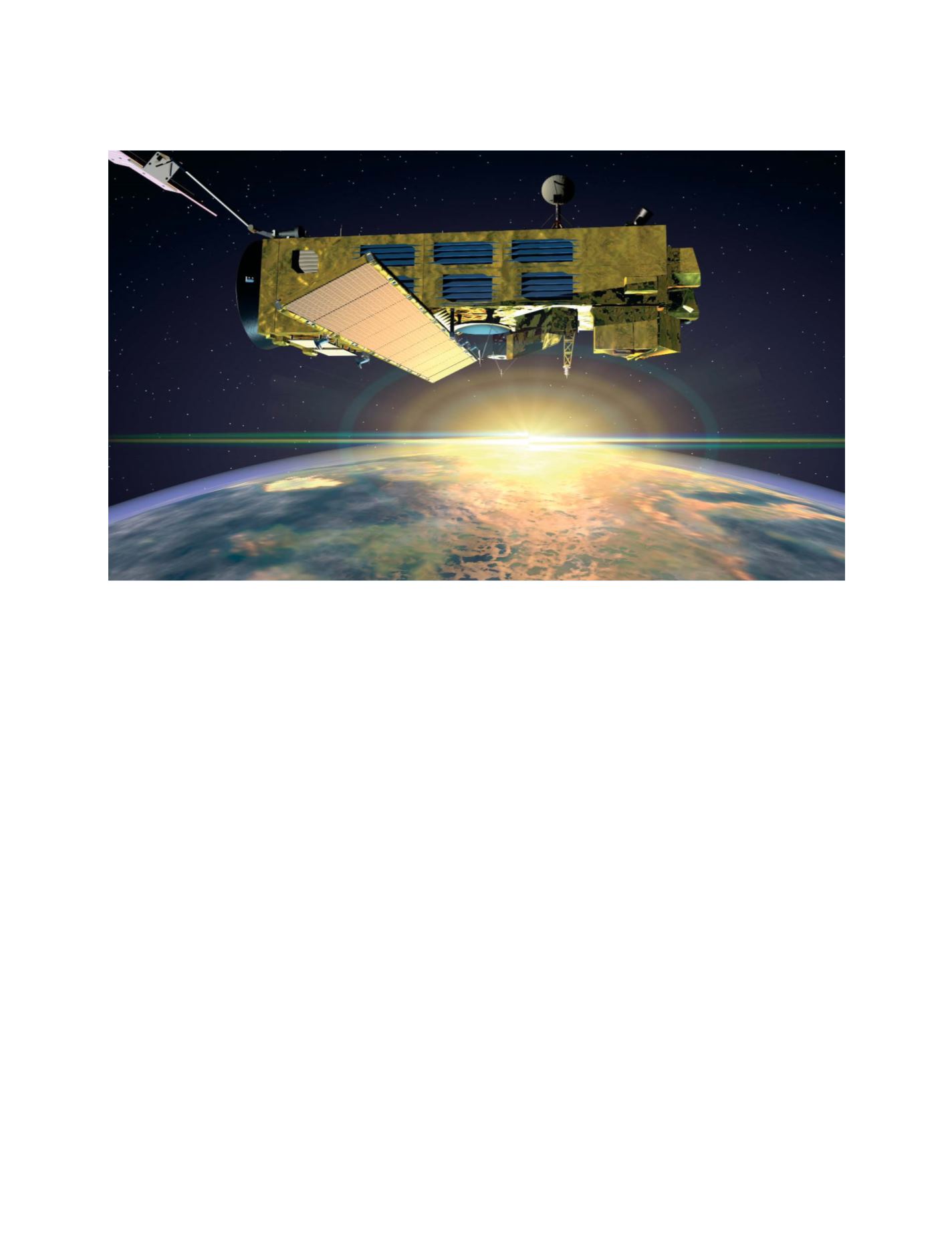
The Envisat satellite of the European Space Agency. This giant satellite (10x4x4 metres) boasts a multitude of EO sensors including an Advanced
Synthetic Aperture Radar (ASAR)
Image: ESA
GEOSS C
OMPONENTS
– P
REDICTION
S
YSTEMS