


 128 / 168

[
] 128
drought risk information to local, national and interna-
tional stakeholders.
The system was first implemented in Mali and Niger
in collaboration with national governmental agen-
cies and international institutions, and it is now being
extended to Mauritania, Burkina Faso and Chad. It
contributes to the second Priority for Action of the
Hyogo Framework for Action 2005-2015, which is
to
identify, assess and monitor disaster risks – and enhance
early warning
.
The ACF pastoral surveillance and early warning
system monitors the relative abundance or scarcity of
biomass (a proxy-indicator of pasture availability) and
of surface-water bodies at national and regional level,
using remote sensing data and geographic information
systems (GIS) technologies. Remote sensing data used
are free and near real-time downloadable through the
internet, and they require field tests and field checks.
The ACF GIS-based system can also take into account
other ‘layers’ of information on top of biomass and
water, namely the movements of pastoralists and their
concentration and transition areas. These data are
generally collected at local levels, in areas of inter-
est, through field assessments and brainstorming with
pastoral experts.
GIS technologies represent powerful tools to
analyse the availability and evolution of essential
pastoral resources at national and regional levels. In
fact they allow the timely and efficient monitoring of
vast areas, where high spatio-temporal resource vari-
recently, the poor rainy seasons of 2004-5 in Mali and Niger and in
2009-10 in Eastern Sahel contributed to major livelihood and food
crises among vulnerable households. The Famine Early Warning
System Network (FEWSNET) estimated that 20 per cent of pasto-
ralists in Niger lost 80-100 per cent of their livestock in 2010.
Future climate patterns in Sahel are unclear for now, but climate
change models suggest increasing variability and unpredictability
in the pastoral areas.
Past droughts were traditionally addressed through a sharp
increase in humanitarian assistance, focusing mainly on life-
saving and food assistance. From reactive post-crisis responses,
local, national and international institutions in West Africa are
moving towards more proactive disaster prevention work. Early
warning systems represent one pillar of these disaster risk reduc-
tion (DRR) strategies.
The GIS-based surveillance and early warning system in Sahel
In West Africa, the existing food security surveillance and
early warning systems mainly focus on sedentary populations
and Sahelian pastoral areas and remain relatively inadequate.
Developing efficient systems in these areas represents a serious
challenge because of their natural and social specificities. In fact
these vast areas are characterized by a low demographic density, a
high spatio-temporal variability of rains and resource patterns and
the mobility of pastoral households.
The Action Contre la Faim (ACF) International and its partners
have progressively developed an innovative pastoral surveillance
and early warning system at national and regional levels. The aim of
this system is to prevent humanitarian, food and nutrition crises in
Sahelian pastoral areas through the provision of timely and reliable
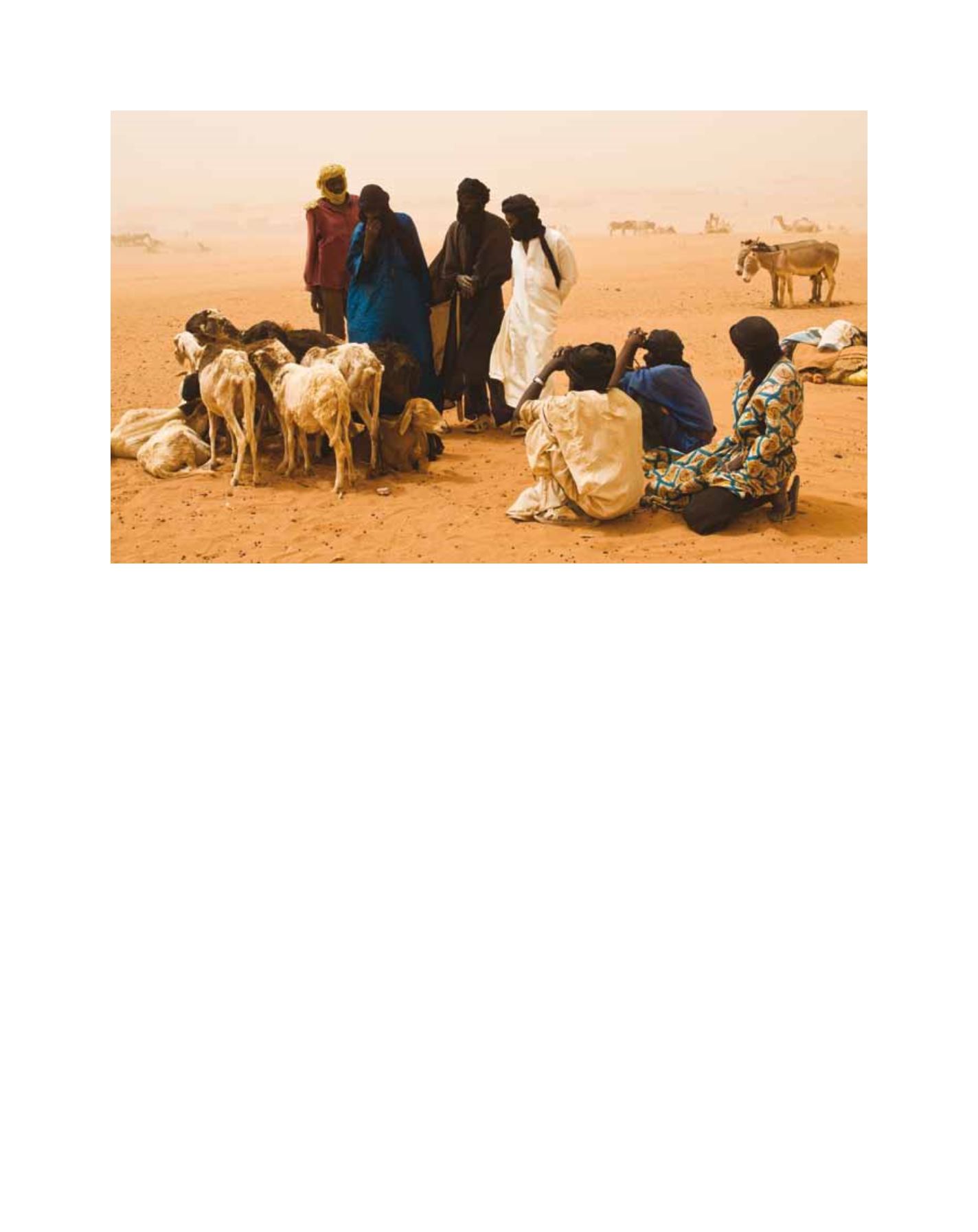
Crises can be prevented by timely and reliable drought risk information
Source: Samuel Hauenstein Swan