


 124 / 168

[
] 124
Aerospace Exploration Agency (JAXA) is a secretariat of
the JPT.
The main activities of SA are as follows:
Emergency observation in case of major disasters
by Earth
observation satellites via observation requests of JPT
and ADRC members In case of major disasters in the
Asia-Pacific region, emergency observation requests of
JPT members and ADRC members are passed to space
agencies through the ADRC.
Working group (WG) activities focusing on specific disas-
ters
, such as wildfires, floods and glacial lake outburst
flood (GLOF). Wildfires are a major and recurring
phenomenon affecting many countries in the region.
The effects of wildfires have substantial bearing on
global warming and wildfire management is an urgent
task in the mitigation of global warming.
Flooding affects many countries in the Asia-Pacific
region. The WG will contribute to the mitigation of flood
disasters in Asia by utilising satellite, GIS, and informa-
tion network technologies to share information on flood
risks and disasters among national and international
organizations, including the Sentinel Asia information-
sharing platform.
To expand Step 1’s focus on wildfires and floods, the
GLOF Monitoring WG was initiated at the second JPT
meeting of Step 2 held in Bali, Indonesia, in July 2009.
Focusing on projects conducted by ADRC in Bhutan,
and Keio University in Nepal, it will use satellite images
of glacial lakes to monitor and establish early warning
systems in risk areas and generate hazard risk mapping
for glacial outburst flooding. Information will be shared
through the SA infrastructure, along with local aware-
ness and knowledge transfer through capacity building.
tion backbone, eventually distributing relevant satellite and in situ
spatial information on multiple hazards in the Asia-Pacific region.
A step-by-step approach for SA was adopted as follows:
• Step 1: Implementation of the backbone SA data dissemination
system as a pilot project, to showcase the value and impact of
the technology using standard Internet dissemination systems
(2006-2007)
• Step 2: Expansion of Step 1 with new satellite communication
systems and enhancement of activities based on experiences in
Step 1 and new requirements (2008-2012)
• Step 3: Establishment of a comprehensive disaster management
support system (2013 onwards).
SA Step 1
has achieved its overall goals and the SA website has oper-
ated since October 2006, serving as a good demonstration project to
share disaster-related information obtained by several earth observa-
tion satellites. SA has moved to Step 2 from 2008, enhancing and
strengthening its activities based on lessons obtained by Step 1.
Framework
SA is promoted with cooperation amongst the space community
(APRSAF), the international community (United Nations Economic
and Social Commission for Asia and the Pacific (UNESCAP), United
Nations Office for Outer Space Affairs (UNOOSA), the Association of
Southeast Asian Nations (ASEAN), the Asian Institute of Technology
(AIT) and others), and the disaster reduction community (the Asian
Disaster Reduction Center (ADRC) and its member organizations).
To support the implementation of the SA project, a Joint Project
Team (JPT) was organized. Membership of the JPT is open to all
disaster prevention organizations and regional/international organiza-
tions that are prepared to contribute their experiences and technical
capabilities and wish to participate in technical aspects of disaster
information sharing activities. The JPT consists of 62 organizations
from 24 countries/regions and international organizations. The Japan
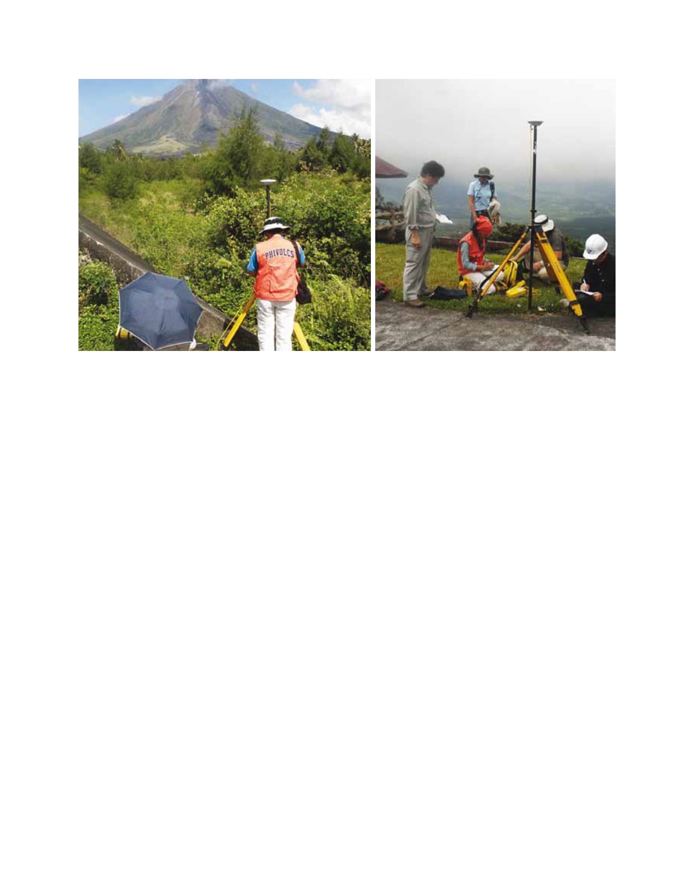
Field surveys for validation of hazard map by PHIVOLCS and JAXA
Image: JAXA