


 120 / 168

[
] 120
be obtained from both primary and secondary sources. Secondary
collection frequently represents a form of data sharing, and access
to data has been greatly augmented by the Internet.
Environmental data are often collected by sensors or other
devices that measure field conditions such as rainfall, river
levels, wind speeds and wave heights. These data help estab-
lish the spatial patterns, temporal trends, event probabilities and
seasonal variations relevant to developing risk assessments and
profiles. The data also support event description, analysis, and
the development of early warning protocols. Readings may be
manually recorded and reported, stored and retrieved periodi-
cally by agents in the field, or reported automatically by means
of telemetry systems.
Satellite imagery and aerial photography can also provide
information on the physical environment. With remote sensing
and GIS software, imagery can be used to identify relevant
social, environmental and economic patterns represented in
the physical landscape. Images can be used to create building
inventories without hand tracing or surveying every structure.
2
Series of imagery products can be used to monitor changes on
the earth’s surface. This provides context and indi-
cators of vulnerability and risk. In 2009, Pacific
Data Center (PDC) used satellite imagery to identify
potential settlements on remote Pacific islands in
the path of super typhoon Choi-wan, contributing
to the successful evacuation of the isolated popula-
tion prior to landfall. In the wake of a hazard event
such as a flood or landslide, images can also assist
in delineating the impact area and help support
hazard assessment. In a post-event context, imagery
comparisons provide a rough estimate of initial
damage.
3
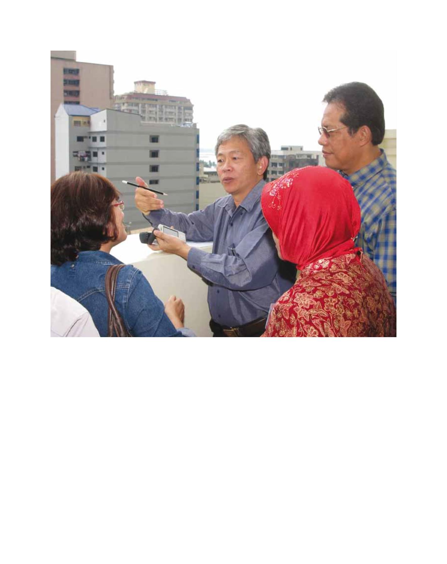
Like imagery, portable global positioning systems
(GPS)
4
and GIS-enabled devices can be used to iden-
tify locations of elements of interest. A handheld GIS
makes it possible to record relevant attributes in the
field. Many phones now come with cameras and GPS
applications, which allow contextualization and docu-
mentation through location-tagged visuals. After an
event, portable GPS, GIS and phone applications facili-
Participants in the ASEAN Rapid Damage and Needs Analysis (DANA) Training practice using a GPS device. The training was facilitated by PDC
Image: L. Hillman 2008