


 125 / 168

[
] 125
Capacity building
for the use of satellite images and human
resources development for disaster management. This will involve
developing human resources and a human network to utilize the
information provided by SA.
Some issues arising in Step 1 will need more work to resolve:
Data transmission
– There are narrow-band areas in Asia where
it is hard to see information via the Internet, particularly Web-GIS.
Value-added information
– Users of disaster management organi-
zations request easily comprehensible interpretations from satellite
images rather than satellite data, while users of space agencies and
institutes request GeoTIFF data and/or raw data for their analysis.
Robust and user-friendly information-sharing platform
–
Construction of the Step 1 website system caused suspension of
operation several times due to server maintenance and other issues.
Human network
– A good human network between the space and
disaster management communities has been recognized to be the
most fundamental underpinning of the project.
Sentinel Asia Step 2
Taking the lessons learned from Step 1 into account, SA Step 2 has
been enhanced and expanded as follows:
Participation of various satellites in emergency observation
In addition to Earth observation satellites such as the Advanced
Land Observing Satellite (ALOS) of JAXA, MTSAT-1R of JMA and
Indian Remote Sensing Satellites (IRS) of the Indian Space Research
Organization (ISRO), new Earth observation satellites such as the
Korean Multi-purpose Satellite (KOMPSAT) of the Korea Aerospace
Research Institute (KARI), Thai Earth Observation System (THEOS)
of the Geo-Informatics and Space Technology Development Agency
(GISTDA) of Thailand, and FORMOSAT of the National Applied
Research Laboratories (NARL) of Taiwan have joined. These organi-
zations are called the Data Provider Node (DPN) of SA, and the
satellites are called ‘Sentinel Asia Constellation’.
Improvement of access to information
In addition to information sharing via the Internet in
Step 1, the wideband Internetworking Engineering Test
and Demonstration Satellite (WINDS) satellite commu-
nications has been introduced to facilitate access to
disaster-related information. Regional servers mirror-
ing the central server in Japan have already been set up
in Thailand, the Philippines, Taiwan, Mongolia, Nepal,
Vietnam, Fiji and Indonesia. Any of those servers can
be accessed by users for the purpose of viewing the SA
website or downloading data. During disasters, large
volumes of satellite imagery can be distributed to
organizations handling emergency situations as well as
those analysing satellite imagery, using WINDS satellite
communications and the Internet.
Information-sharing platform
A new Step 2 information-sharing platform has been
developed by JAXA. This is a Web-GIS with centralized
data at JAXA in Japan, while the Step 1 information-
sharing platform was constructed using Digital Asia
Web-GIS of Keio University with dispersed data at each
data provider. The Step 2 platform is a robust system
with redundant construction and centralized data
management at JAXA. It has also a function to limit
data viewing according to the data policy of the data
provider.
Value-added information
A new framework of satellite data analysis, the Data
Analysis Node (DAN) of SA, has been organized
to provide analysed images and easily comprehen-
sible interpretations from images. AIT, ADRC,
International Center for Integrated Mountain
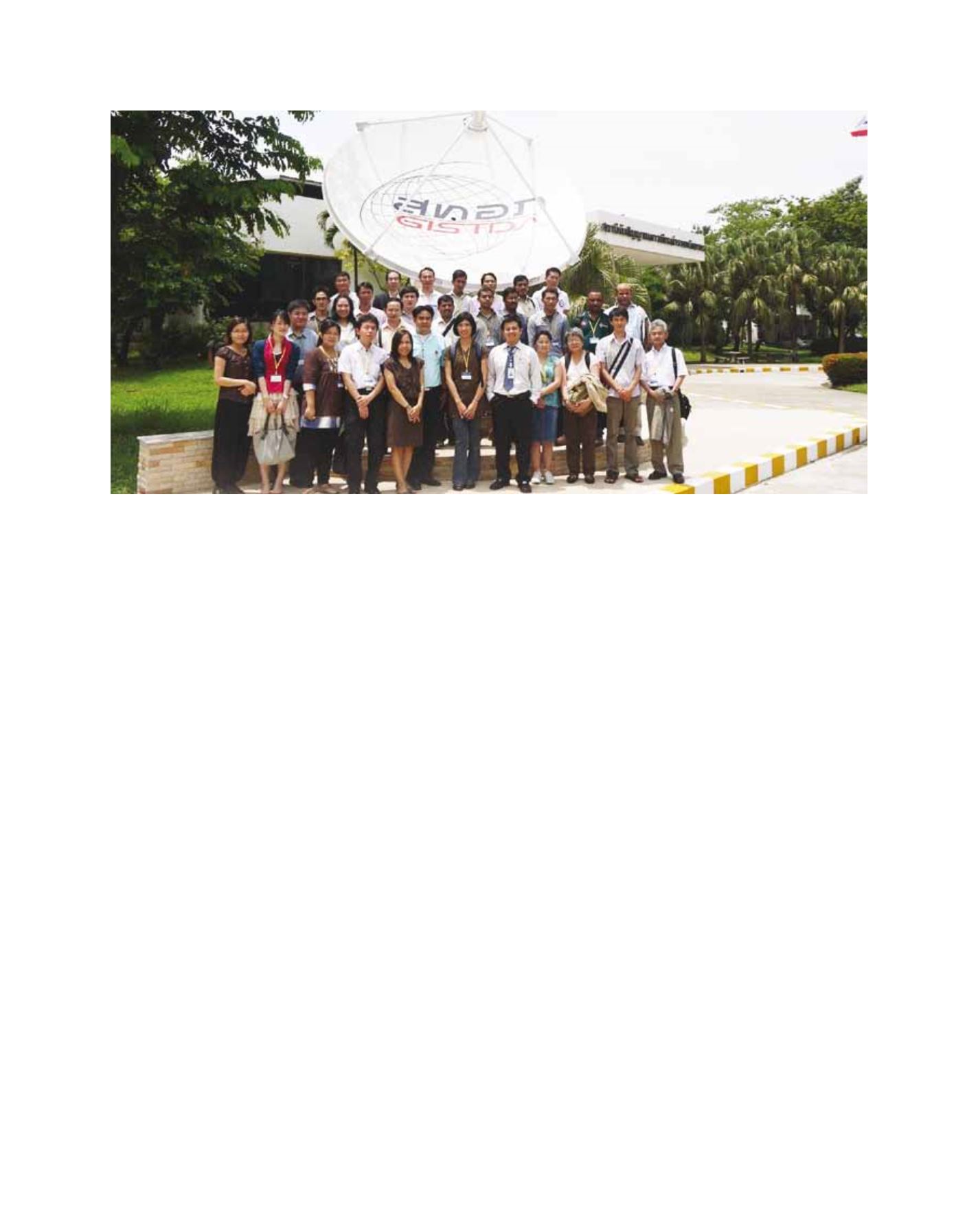
The 6th Sentinel Asia System Operation Training by JAXA, hosted by GISTDA in Thailand, in July 2010
Image: JAXA