


 103 / 280

[
] 103
between the German Ministry of Education and Science (BMBF),
the German Aerospace Center (DLR) and EADS Astrium GmbH.
Infoterra GmbH, an Astrium subsidiary, holds the exclusive rights
for commercial exploitation of the data, whereas DLR is respon-
sible for the coordination of the scientific data use. An equal share
of mission resources, particularly data acquisition capacity, has
been agreed for commercial and scientific use.
The relevance of TerraSAR-X to GEOSS
Many scientific applications, like monitoring the implications of
global change, are dependant on the long-term availability of
comparable datasets as the occurrence of these processes is only
observable and verifiable over long time intervals. Therefore, long-
term data availability is an important objective of the Global Earth
Observation System of Systems (GEOSS).
In the case of TerraSAR-X data, this premise is assured by
Infoterra GmbH’s commitment to reinvest profits from the
commercial sale of TerraSAR-X data into the next generation satel-
lite, TerraSAR-X-2. In addition, a second TerraSAR-X satellite
called TanDEM-X will be launched in 2009 to enable the close-
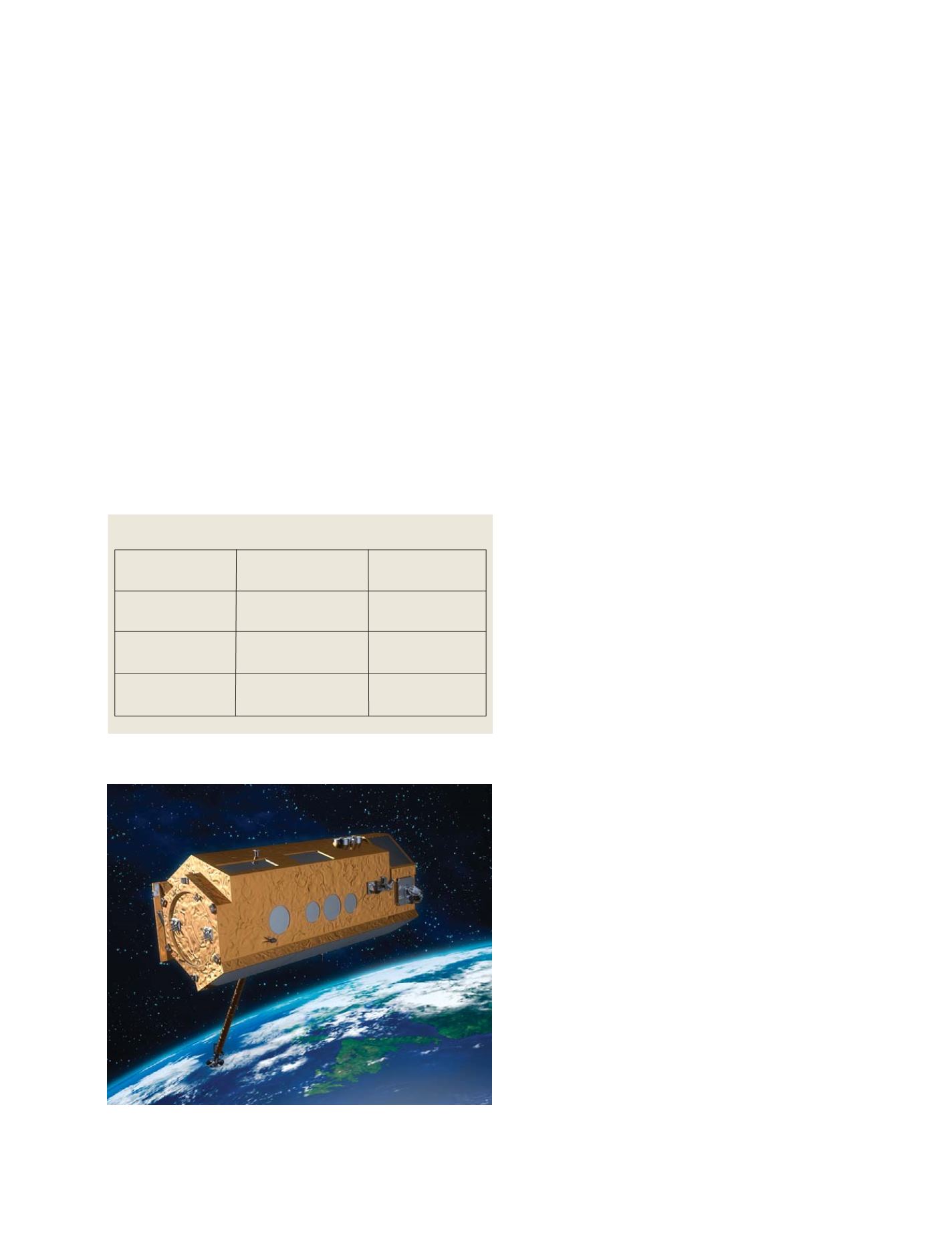
Credit: Artists view of TerraSAR-X in space – © Astrium GmbH
formation flight of two almost identical systems. This
provides for a temporal extension of the availability
of TerraSAR-X intensity data, although the primary
mission objective is the creation of a global DEM at a
very high spatial resolution.
A second scientific demand also claimed by GEOSS
is the consistency of data time series to allow an accu-
rate observation of changes and processes including
their variability. TerraSAR-X has been designed to
support the monitoring of changes through precise
orbit maintenance and stable radiometric perfor-
mance.
In addition, supported by its very high spatial reso-
lution of down to 1m, its very high temporal
resolution of down to 2.5 days and its very short
response time, TerraSAR-X and its successors are valu-
able and reliable tools, especially for disaster response
activities (e.g. flood area mapping), which are of great
importance to GEOSS and highlighted in the socio-
economic benefit area ‘disaster’. Negotiations between
DLR and the international charter
Space and Major
Disasters
regarding the use of TerraSAR-X for charter
activities are also well advanced.
Besides the examples mentioned above, TerraSAR-
X serves nearly all of the questions raised in the
socio-economic benefit areas of GEOSS that address
the properties of the Earth`s solid or liquid surface,
due to its capability to characterize parameters like
surface roughness (e.g. wave parameters), plant archi-
tecture (e.g. vegetation parameters) and differences in
the dielectric properties of materials (e.g. soil mois-
ture, etc).
With the TerraSAR-X mission Germany substanti-
ates its commitment to GEO and its objectives: for
scientific applications all TerraSAR-X data are made
available to users worldwide at cost of reproduction
if the scientific value of the proposed project is
approved by DLR. Details can be found on the
TerraSAR-X science portal:
(http://www.dlr.de/tsx/main/science_en.htm).
Furthermore, Germany is actively supporting the
implementation of GMES, a key system within the
system of systems, by making TerraSAR-X available to
the maturing services.
Current status and next steps
The satellite commissioning phase will continue until
late 2007, when the five-year nominal lifetime will
start. With the planned launch of the TanDEM-X satel-
lite in 2009, TerraSAR-X will contribute to realizing
the implementation of high quality interferometric
applications. After the end of the nominal lifetime of
TerraSAR-X a new generation satellite called TerraSAR-
X 2 is scheduled to be launched in 2012. As this
constellation assures the long-term availability of
comparable datasets, TerraSAR-X and its successors
provide a reliable and valuable data source serving a
multitude of scientific and operational applications
promoted by the GEOSS.
TerraSAR-X image modes
Mode
Spatial Resolution (max)
Spatial Coverage (max)
Spotlight
1m
10 x 10km
Strip Map
3m
30 x 1500km
Scan SAR
16m
100 x 1500km
Source: Infoterra GmbH
TerraSAR-X uses the microwave part of the electromagnetic spectrum, and is able to
monitor the Earth’s surface independently of day, night or weather conditions
GEOSS C
OMPONENTS
– O
BSERVING
S
YSTEMS