


 99 / 280

[
] 99
1km-resolution Normalized Difference Vegetation Index (NDVI)
data for crop assessment on the prairies (weekly composites) and
across the country (ten-day composites). The next generation of
NDVI products is being developed to use a system for processing
250m-resolution NDVI (MODIS from NASA) data for both weekly
composites and multiple time-period composites for all of Canada.
Crop condition information is supplemented with key climate
information. Knowledge of absolute and relative soil moisture is of
critical importance to agriculture. Soil moisture is a sensitive indi-
cator of crop moisture stress and the onset of drought, and plays a
key role in crop productivity. It influences field activities (tillage,
seeding, irrigation) and also is a key indicator of runoff potential, as
well as a key input for weather forecast modelling. As such, soil mois-
Source: Agriculture and Agri-Food Canada, 2007
Annual crop inventories will provide information on changes in crop
production, and can be used to track the impact of policies to promote
sustainable agriculture
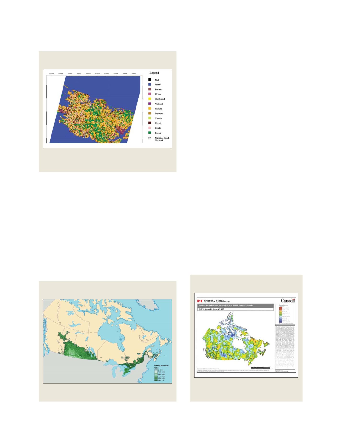
Crop inventory map, Province of Prince Edward Island, Canada,
circa 2006
ture is a critical data requirement to support the agri-
cultural policy outcomes of monitoring, forecasting and
responding.
AAFC is currently using enhanced passive microwave
data for the development of qualitative coarse-scale
information on surface wetness and temperature.
Researchers are also developing approaches to using
Synthetic Aperture Radar (SAR) and multi-angle radar
data that will improve the resolution and provide qual-
itative soil moisture monitoring data. In the future, soil
moisture monitoring in Canada will be based on inte-
grated monitoring networks that incorporate passive
microwave systems with SAR and in-situ monitoring
networks.
Near-real-time climate networks are also used to
provide information on the state of Canada’s agro-
climate. The extent, location and severity of temperature
and precipitation events relevant to agriculture are moni-
tored and analyzed in near real time and distributed on
AAFC’s drought watch web site. AAFC is integrating
Environment Canada’s weather monitoring data and
data from provincial networks to provide daily updates
on conditions for the industry. Weather data is assem-
bled into a common format, screened and verified where
possible before maps showing several analytical prod-
ucts are prepared with geographic information system
technology. The information is a key input for identify-
ing drought and other weather-related disasters, as well
as for developing mitigation programs.
NLWIS is committed to supporting sustainable agri-
culture in Canada by being the authoritative source of
geospatial data to support monitoring, forecasting and
response programs. Within NLWIS, earth observation
will play a critical role in helping to deliver on the moni-
toring to response agenda.
Source: Agriculture and Agri-Food Canada, 2007
Source: Agriculture and Agri-Food Canada and Commodity Hedgers Ltd., 2007
Crop condition maps are a valuable tool for monitoring the impacts of climate
extremes on agricultural production
Weekly crop condition imagery (NDVI) from the MODIS satellite
sensor
Soil moisture is an indicator of the onset of drought
conditions, that could, in turn, adversly effect food
production
Weekly surface wetness anomalies from enhanced
passive microwave data
GEOSS C
OMPONENTS
– O
BSERVING
S
YSTEMS