


 97 / 280

[
] 97
sites where data on water quality are critical to successful operations.
Second, by ensuring that the data and products being generated by
the large-scale coastal and open ocean observation programmes are
readily available in accessible formats and can be understood by a
broad range of users from across the Pacific Islands region.
Currently PI-GOOS is undertaking a number of initiatives to help
build capacity and bridge the data divide, such as compiling a cata-
logue of ocean observing systems and a digital marine atlas of the
Pacific Islands region. Given the potential impact of climate change
on coastal communities, support is also being given to locate and
acquire historical aerial photographs of Pacific Island coastlines. This
would allow a better understanding of the evolution of shorelines
and coastal environments in the context of climate change and local
management practices. Actions such as these, supported by aware-
ness raising and education programmes, will help PI-GOOS achieve
its long term vision of assisting development in Pacific Island nations
via improved uptake and use of data and information from oceanic
and coastal observing systems.
Pacific Hydrological Cycle Observing System
Pacific HYCOS is one of the regional components of WHYCOS, a
World Meteorological Organization (WMO) initiative aiming at
improving basic hydrological observation activities, strengthening
capacity and international cooperation, and promoting availability
and exchange of data.
The programme is hosted by SOPAC at its headquarters in Suva,
Fiji, and will be implemented over a three-year period (2006-2009).
At its core, Pacific HYCOS aims to improve the assessment, manage-
ment and protection of small island states’ freshwater resources
through the provision of appropriate collection and management
systems for water resources data. Access to better data and informa-
tion on the status of water resources has the potential to feed into and
improve local, regional and national planning efforts, economic
development, and environmental and public health issues.
The current programme covers 14 Pacific Island countries and
includes some of the most fragile communities in the world in terms
of water resources. This fragility is due to their small size, lack of
natural storage, competing land use, and vulnerability to natural and
anthropogenic hazards, including drought, cyclones and urban pollu-
tion. One of the key objectives of the programme is to
strengthen the technical capacity of National
Hydrological Services (NHS) in these countries, in rela-
tion to water resources assessment and management.
This will be achieved through targeted measures in the
following critical areas: water resources assessment in
major rivers; water resources databases; flood forecast-
ing; drought forecasting; and groundwater and surface
water quality monitoring and assessment.
As one of its functions, the Pacific HYCOS programme
continues the Pacific Dialogue on Water and Climate,
3
an initiative with the aim of improving capacity for water
resources management by establishing a platform
through which policymakers and water resource
managers have better access to and make better use of
information generated by climatologists and meteorol-
ogists. One of the tools promoted under Pacific HYCOS
is the production of the Island Climate Update bulletin,
which is published monthly by the National Institute of
Water and Atmospheric Research (NIWA) in collabora-
tion with SOPAC, SPREP, and NMSs. The bulletin’s
primary goal is to assist Pacific Island countries in
making informed planning and management decisions
relating to climate-sensitive sectors, through the provi-
sion of timely and accurate seasonal climate forecasts.
Looking forward
The observing programmes operating in the Pacific
Islands region tackle all of the major components of the
hydrological cycle, from oceans and climate to surface
and ground water. By integrating the data, information
and products from all three programmes, our under-
standing of a number of critical environmental processes
and the ways in which they affect the lives of Pacific
Island communities will be significantly enhanced. The
combined data and information will, over time, help
strengthen regional and national capacity for sound
planning and decision making. In this way it will help
to build more sustainable livelihoods across the Pacific
Islands region.
The long-term vision for the Pacific is for countries
to have the capacity to undertake the necessary obser-
vation programmes, to not only understand their
climate, coasts, and water systems, but to use the infor-
mation to guide sustainable development and mitigate
against environmental hazards and threats. Until such
time, programmes such as PI-GOOS, PI-GCOS, and
Pacific HYCOS have a vital role to play in building obser-
vational capacity throughout the region. Their successful
implementation will ensure that some of the most
vulnerable nations on Earth are better equipped to serve
their communities at the local level and also tackle the
challenges and threats posed by global scale processes
such as climate change. Support for the Pacific Island
observing systems therefore needs to continue and in
some cases be enhanced in order to build resilience
among Pacific Island communities and ensure a secure
and healthy environment that future generations can
continue to benefit from.
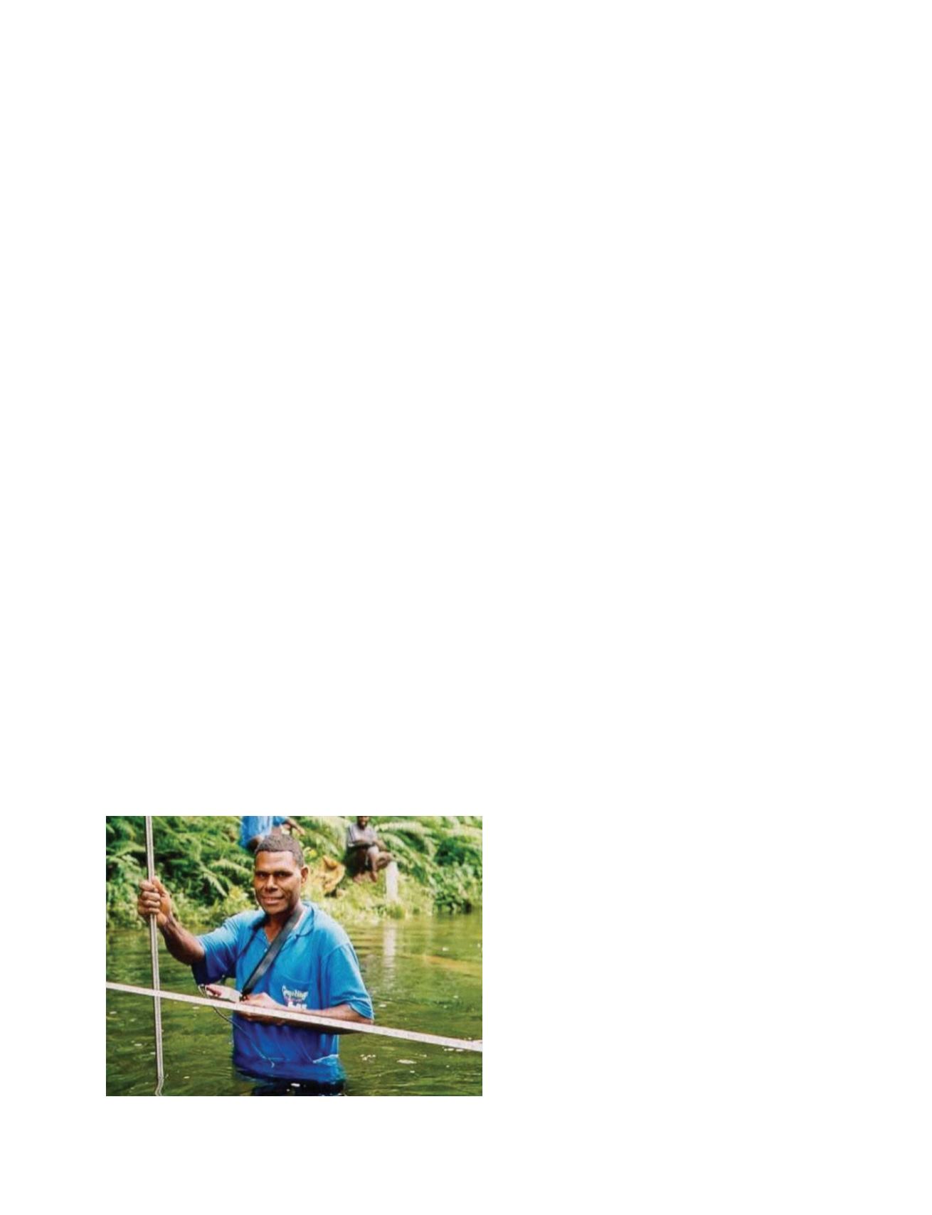
River gauging, Espiritu Santo, Vanuatu
Photo: Marc Overmars
GEOSS C
OMPONENTS
– O
BSERVING
S
YSTEMS