


 93 / 280

[
] 93
Sustained benefits from the efforts illustrated in these
case studies cannot be realized without the simultane-
ous empowerment of African scientists and their
national institutions. Such sustainable capacity devel-
opment forms an integral part of all initiatives that seek
to enhance the capabilities for earth observation in
Africa: human capital; scientific and technological
expertise; operational infrastructure; and mechanisms
to maximize societal benefit must all be developed cohe-
sively.
Such cohesion will be seen in the focus on marine
observation and information systems, emphasizing an
integrated approach to common needs and priorities
within Africa as a whole. Africa must draw profitably on
experiences gained elsewhere, but with adaptation to
local systems and regional priorities and capabilities.
Relevant, do-able, and cost-effective observing systems,
utilizing and developing African science and technol-
ogy, can also play a vital role as technological
demonstrators in public and school-oriented science
education.
Scientific and technical training must be supple-
mented by the long-term provision of the necessary
equipment and the opportunity to practice newly
acquired skills. Such efforts have been visible in the
successes achieved by the ODINAfrica and GOOS Africa
initiatives. The operation of the African sea level moni-
toring network has required extensive training in the
In the future, GOOS Africa will seek to consolidate its in situ and
remotely sensed observing systems and to close the gaps in its end-
to-end user approach, so that a completely integrated observing
and forecasting system is fully in operation. The encouragement
of industry and business partners and the establishment of a multi-
user environment will place the implementation of the system on
a secure financial footing. In this way GOOS Africa, in coopera-
tion with its partners, will also make a meaningful contribution to
the implementation of the GOOS Coastal Network in Africa. This
will operate through measuring, managing and analysing locally
obtained high-resolution observations from a network of strategi-
cally placed sentinel and reference stations. The application of
emerging technologies in computing and communication will see
the establishment of modelling platforms and the routine genera-
tion of forecasting products for decision makers in the extended
user community.
ODINAfrica will seek to position itself to service the greater
demands placed on data acquisition and communication through
the drive for ocean based services and industry sustaining the increas-
ing population in Africa. It aims to become the pan African
geo-spatial clearing house for coastal and ocean data and informa-
tion, moving increasingly into digital communication, the
development of user specific tool-boxes, and the design of high level
interactive integrated products. These will focus on the establish-
ment of an enhanced sea level network, on GIS-based atlases relevant
to integrated coastal management, and on the development of scenar-
ios of vulnerability to impacts of extreme events and climate change
along the coast of Africa.
GOOS-AFRICA remote sensing pilot projects
The GOOS AFRICA remote sensing pilot projects are designed to promote
specific disciplines in remote sensing science; to promote the African
implementation of international projects, and to provide the means of
disseminating the large data volumes needed in regions with poor
communications infrastructure.
Sustainable capacity development is an important aspect of the pilot
projects, which aim to increase the numbers of skilled remote sensing
scientists and technologists in Africa. Bilko-Africa is a pilot project specifically
designed to enhance these remote sensing skills through exposure to
applications with high priority in Africa. The intention is to provide for long-
term use of these skills through synergy with national policy-makers and
funding vehicles such as the large marine ecosystem programmes.
Discipline- or sensor-specific pilot projects include MSG-Africa, which
develops coastal applications based on high frequency sea surface
temperature data from the geostationary MeteoSat Second Generation
satellites; and Alticore-Africa, which will develop the multi-scale observation
and forecasting of waves and sea-state using altimetry and in situ
platforms.
The Chlorophyll Ocean Global Integrated Network (ChloroGIN) is a
GOOS/GEO demonstration project that provides international partners with
operational measurements of chlorophyll and supporting variables using
both satellite and in situ platforms in an ecosystem-based approach.
ChloroGIN-Africa will provide sub-Saharan African countries with remotely
sensed ocean colour and sea surface temperature products, and the ability
to construct in situ time series of ocean chlorophyll measurements. A range
of products from the MODIS and MERIS sensors provide information on
phytoplankton biomass, primary productivity and turbidity, among others,
and these are used in applications ranging from ecosystem analysis through
resource management, to the detection of harmful algal blooms.
Dissemination of data through C-band communications satellites is
promoted through GEONETCast-Africa, a regional implementation of the
GEONETCast system, which will greatly improve the ability to transfer large
data streams into and through Africa. For example, it will also
ensure the satellite-based dissemination of ChloroGIN-Africa
products to users in Senegal, Ghana, Namibia, South Africa and
Tanzania. Capacity development is core to ChloroGIN; and
multi-national training programmes, post-graduate student
placements and collaborative research cruises ensure that
expertise is broadly developed across the continent.
Contacts: Justin Ahanhanzo
(j.ahanhanzo@unesco.org),
Stewart Bernard
(sbernard@csir.co.za)
URLs:
www.npm.ac.uk/rsg/projects/chlorogin, www.rsmarinesa.org.za, www.soton.ac.uk/bilkoChloroGIN-Africa
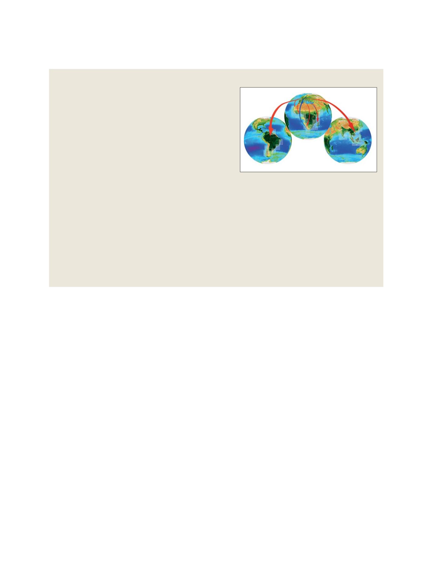
ChloroGIN-Africa is supported by data providers (shown here via
blue arrows) and users (red arrows) through GEONETCast-Africa
GEOSS C
OMPONENTS
– O
BSERVING
S
YSTEMS