


 94 / 280

[
] 94
use of the new equipment for the observation, processing and rapid
dissemination of sea level information. The network now forms the
backbone of the Africa-wide early warning system for tsunamis and
other marine related hazards. There are now over 25 operational
national ocean data centres in Africa, and a network of institutional
libraries to disseminate marine and coastal information relevant for
effective coastal planning. The innovative use of marine and coastal
remote sensing is benefiting from both basic and advanced technical
training, and enabling its application in the sustainable use of marine
living resources, the protection of water resources and safety at sea.
Capacity building must take on an ‘operational’ profile, enabling
nations to implement the marine services required by society, whilst
maintaining the vital links to science, technical infrastructure and inter-
national cooperation. It must be based on identified priorities, as well
as the utilization of shared observation and data resources,
and shared technical and scientific service tools. Not all
of these background conditions are adequately present
today. However, experience from existing oceanographic
services, the availability of freely exchangeable data and
sophisticated numerical models, and the expanding use
of Internet technology provide the prospect of rapid imple-
mentation of the necessary systems. The capacity building
activities must find a balance between front-running high
technology and the realism needed for robust, sustained
marine observing and information systems. The aimmust
be to make the nations of Africa optimally self-sufficient
in using these systems to protect the economic needs of
society in the coastal ocean.
hundreds of sources in the first of its web-based products,
in February 2007. The data range from biogeographic
data records from species of commercial or conservation
interest, to monthly and seasonal climatologies of
remotely sensed data and model products. Data and
metadata are served together, in commonly used text and
geographic information systems (GIS) formats.
Future directions for the African Marine Atlas will be
toward developing high-resolution pilot sites in each
country to demonstrate its applicability at local level for
specific management challenges or use cases. At a higher
level, integration with other African data serving projects
and near-real-time observing systems through GOOS-Africa
to GEOSS will be addressed, as well as ensuring that the
Atlas system meets standards for interoperability between
web atlases and interactive data servers at a global scale.
Contacts: Mika Odido
(m.odido@unesco.org),
Lucy Scott
(l.scott@ru.ac.za)
URLs:
www.odinafrica.org, www.africanmarineatlas.netODINAfrica African Marine Atlas
The delivery of accurate and reliable spatial data to marine and coastal
managers and decision makers across Africa is essential for the
sustainable management of natural resources in a rapidly changing
environment. The African Marine Atlas is the first continental-scale marine
and coastal data atlas for the African continent. Its purpose is to increase
access to marine data, and capacity to use those data, in national
institutions in the 25 coastal countries of Africa. The Atlas project seeks to
address requirements for data at multiple scales, from the continental
and large marine ecosystem scale, to national and local project scale. A
variety of user requirements for a wide range of local applications will be
addressed by serving multi-scale, multi-application data.
The African Marine Atlas project has brought great benefits to
participating national institutions and to Africa as a whole, by encouraging
scientists to work together, learn new techniques and build teams that will
continue to collaborate in the future. Participants were drawn from Benin,
Ghana, Kenya, Mauritania, Mauritius, Mozambique, Namibia, Senegal,
Seychelles, South Africa, Tanzania and the USA, as well as two regional
programmes; the African Coelacanth Ecosystem Programme (ACEP) and
the United Nations Environment Programme (UNEP).
Based on an extensive survey of coastal and marine data needs, the
Atlas team published a comprehensive library of over 800 datasets from
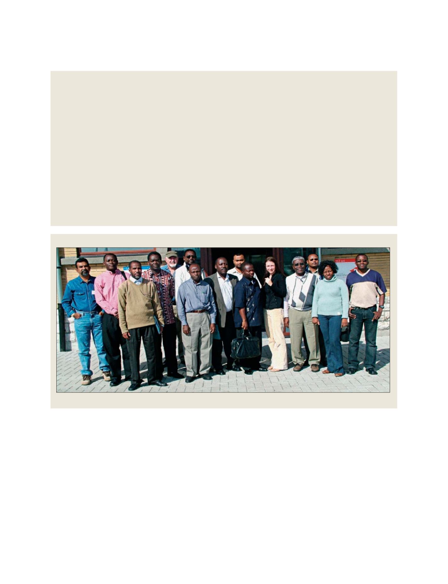
The African Marine Atlas Team
The Atlas team has already published a comprehensive library of over 800 datasets from hundreds of sources in the first of its web-based products
GEOSS C
OMPONENTS
– O
BSERVING
S
YSTEMS