


 134 / 280

[
] 134
SERVIR: putting Earth observation
science and technology into practice
Carrie Stokes, US Agency for International Development
U
nlike their neighbours in North and South America, the
countries of Central America do not have their own
satellites or space agencies. They have traditionally had
to make important decisions affecting their populations and
diverse natural resources in absence of the significant infor-
mation that Earth observation can provide. Recently, however,
the countries of the region have been able to leverage the satel-
lite resources of other countries, such as the United States, to
implement a unique system which makes available Earth
observation data, monitoring tools and the capability to visu-
alize Earth information in three dimensions. Known as SERVIR
(the Spanish acronym for Regional Visualization and
Monitoring System), the system is based in and serves all seven
Central American countries and southern Mexico. It is the first
regional system of its kind in the world and is a testament to
leveraging North-South and South-South collaboration for
putting Earth observations toward the benefit of society.
How it works
Each participating country contributes to the implementation of
SERVIR by submitting its own geospatial data to a central hub in
Panama, located at the Water Center for the Humid Tropics of
Latin America and the Caribbean (CATHALAC). The
SERVIR team integrates this data and links it to
various types of satellite imagery collected regularly
over the region. Once integrated, the data is dissemi-
nated to decision-makers, researchers, educators,
students and the public via a web portal
(www.servir.net) in both Spanish and English. The
portal allows for online map-viewing and makes avail-
able for cost-free download intuitive tools that help
the user understand the data. Additionally, the centre
in Panama that houses the SERVIR computers provides
training to environment ministries and meteorologi-
cal services of the region to build their capacity to use
SERVIR tools in their everyday work. With informa-
tion and tools concerning biodiversity, climate change,
disaster management, ecosystems, health, water and
weather, SERVIR provides previously inaccessible
information that can be applied to directly benefit
society. Importantly, it also encourages the standard-
ization of disparate data sets from multiple sources
and the sharing of data across international bound-
aries.
What it does
With so many different kinds of data accessible via a
single web portal, SERVIR can be used to address
many different problems faced by society and its
leaders. In the two years since SERVIR has been oper-
ating, it has been used in numerous ways, and the
demand for what it can do is growing. The most
common application of the system is to analyse the
weather, arguably the single most important factor
influencing economic development in Central
America.
Weather forecasting
– The SERVIR system provides
cost-free products for both monitoring and forecast-
ing weather conditions on an hourly basis. The
system’s servers ingest data provided by the region’s
meteorological services to produce 48-hour forecasts
of a host of variables, including temperature and
precipitation. In a region possessing very few weather
radar stations, the system also makes available cutting-
edge research products, such as a satellite-based
‘virtual radar’ system which can forecast thunderstorm
development an hour in advance, with important
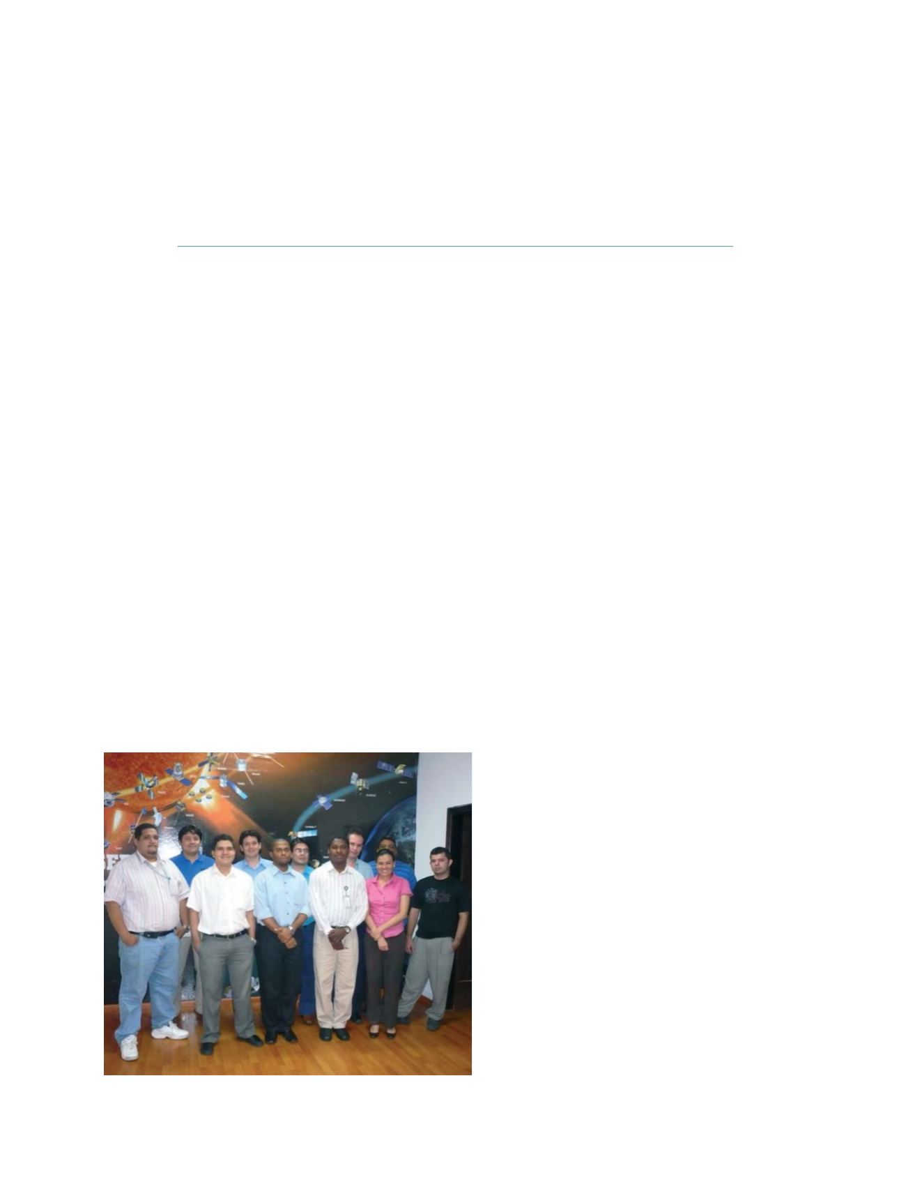
The SERVIR team at CATHALAC
Photo: Science@NASA
GEOSS C
OMPONENTS
– D
ISSEMINATION
/I
NFORMATION
S
YSTEMS