


 130 / 280

[
] 130
Mediterranean
2
), handling assimilative 3D modelling capacities, and
data assembly centres for satellite altimetry, ocean colour, sea ice, sea
surface temperature, and forcing fields, and for in situ data. Atmospheric
analyses and forecasts are provided by the European Centre for Medium
Range Weather Forecasting (ECMWF) and National Weather Services.
The centres, located throughout Europe, are interconnected to form
an integrated system of systems thanks to information management
components (global workflow monitoring and supervision systems).
They are organized to ensure three groups of activities or ‘divisions’:
• A research and development group which can be partly internal
and external to the centre
• A production “unit” in charge of routine production and quality
control
• A service division in charge of service operations, including bulk
delivery and provision of expertise and assistance.
The components are networked into a single framework and infor-
mation management system to deliver integrated services. All
components of the EMCS are being developed in line with the trans-
verse areas concepts of GEO, in particular the architecture,
interoperability and data management standards. They adhere to inter-
nationally agreed protocols, formats and other recommendations of
the Intergovernmental Oceanographic Commission and other rele-
vant bodies.
Serving user needs in the societal benefit areas
The basic tenet underpinning the EMCS is that it delivers generic
information, serving the needs of intermediate users in support of
their missions and activities. Users include public agencies (national
and international, e.g. the European Environmental Agency, the
European Maritime Safety Agency), research laboratories, and private
companies.
The EMCS is highly relevant to several of the societal benefit areas
identified by GEO, as illustrated by several examples:
Reducing loss of life and property from natural and human-induced
disasters
– forecasting of ocean currents and sea ice in support of
ship routing and offshore operations, coastal management, storm
surge forecasts, oil spill detection and drift forecasts; support to
search and rescue operations at sea.
Understanding environmental factors affecting human
health and well-being
– coastal water quality monitor-
ing, pollution detection and monitoring, harmful algal
blooms, responsible fishing strategies.
Improving management of energy resources
– lending
support to offshore operations and maritime transport.
Understanding, assessing, predicting, mitigating, and
adapting to climate variability and change
– the role of
the ocean in all climate issues is paramount and obvious
(heat, sea ice, carbon cycle). EMCS monitors sea level,
storm surges and extreme events, works to develop
ocean climate indicators, and monitors ocean circula-
tion and heat patterns changes.
Improving water resource management through better
understanding of the water cycle
– understanding the role
of the ocean in the global water cycle, e.g. evaporation-
precipitation.
Improving weather information, forecasting and warning
– extended weather forecasts need timely, high-quality
ocean information; in particular, hurricane prediction
requires information on upper-ocean heat content.
Improving the management and protection of terrestrial,
coastal and marine ecosystems
– the MCS delivers
boundary conditions needed for coastal monitoring
systems. The development of ecosystem models in the
coastal domains is an active area of research; their imple-
mentation and validation into the EMCS is ongoing.
Understanding, monitoring and conserving biodiversity
– the products of the EMCS on the physical and primary
ecosystem variables contribute to understanding the
oceanic environmental factors.
Supporting sustainable agriculture (including fishery) and
combating desertification
– the coupling of the physical
state of the ocean to the biogeochemical state and the influ-
ence on ecosystem development is of great importance for
a sustainable ecosystem based fishery management.
Present status and perspectives
The EMCS has been developed with significant support
from national agencies,
3
from the European
Commission and the European Space Agency. EMCS
participates in the Global Data Assimilation Experiment
(GODAE). Most of the centres are in operation, and
deliver regularly high-quality data and products. Further
developments are underway to consolidate and transi-
tion to fully operational status, and to be included in
the European Global Monitoring for Environment and
Security (GEMS) system. Research results (in particu-
lar in ecosystem modelling) are regularly incorporated
into the operational systems.
A special focus is given to the development of the
services and to the engagement of users; links with
coastal systems are strengthened.
The EMCS provides significant added value to Earth
observations, for the benefit of society in Europe and
worldwide. It is inherently dependent on the availabil-
ity of data from Earth observation satellites and from in
situ ocean observation networks. Continuity of those is
crucial for the future.
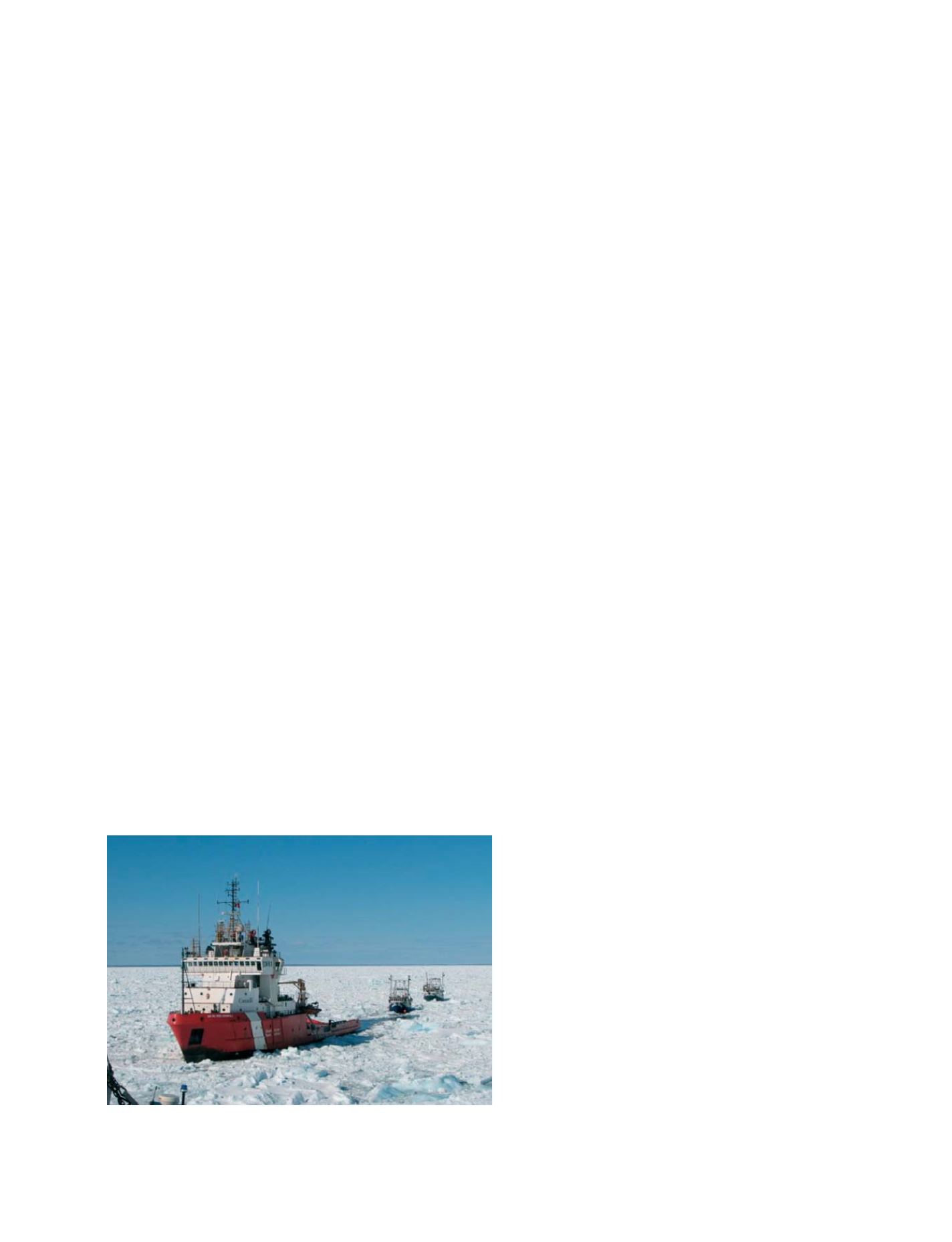
Ice monitoring and forecasting in support of ship routing
and climate change studies
Photo: Canadian Coast Guards
GEOSS C
OMPONENTS
– D
ISSEMINATION
/I
NFORMATION
S
YSTEMS