


 240 / 280

[
] 240
Monitoring land degradation with
long-term satellite data in South Africa
Konrad Wessels, Remote Sensing Research Unit, Meraka Institute and
Department of Geography, University of Maryland, and Stephen Prince,
Department of Geography, University of Maryland
D
esertification is defined by the United Nations
Convention to Combat Desertification (UNCCD) as ‘land
degradation in arid, semi-arid and dry sub-humid areas
(drylands) resulting from various factors, including climatic vari-
ations and human activities.’
1
Degradation includes diverse
processes from changes in plant species composition to soil
erosion that result in reduced biological or economic produc-
tivity of the land. Land degradation affects food security,
national economic development and natural resource conserva-
tion strategies. Desertification refers specifically to degradation
in drylands and it is widely considered to be one of the most
destructive environmental processes of our time affecting an esti-
mated 250 million people.
One hundred and eighty-four nations are signatories to
the United Nations Convention to Combat
Desertification (UNCCD), but there is little information
on the distribution and severity of desertification beyond
local scale studies; reliable and consistent country to
continental scale data are entirely lacking. Most global
or regional maps of land degradation constitute subjec-
tive expert opinions and cannot be used to
systematically track degradation through time and space.
There is an urgent need for standardized, quantitative
and spatially-explicit measures of ecosystem functions
to map and monitor land degradation. GEOSS has thus
committed to delivering sustained observations of the
earth system in order to combat desertification.
The UN Food and Agriculture Organization’s (FAO)
Global Land Degradation Assessment in Drylands
(GLADA) programme is coordinating an effort to assess
land degradation in drylands at the country and global
scales. The GEOSS ten-year implementation plan has
identified the completion of GLADA as a priority in the
context of the agriculture societal benefit area. South
Africa (SA) has been chosen by GLADA as one of six
pilot countries where land assessment technologies will
be developed and evaluated for future implementation
in all participating countries. The SA National
Department of Agriculture (DoA) is coordinating the
current SA LADA process owing to its long record of
research on this topic. This chapter summarises some
major findings of the research and highlights the impor-
tance of long-term Earth observation data as advocated
by GEOSS.
Monitoring land degradation with satellite data
Long-term, coarse resolution satellite data have been
widely used to monitor vegetation dynamics and detect
land degradation.
2
Vegetation production is routinely
estimated with the normalized difference vegetation
index (NDVI) derived from satellite data. NDVI captures
the marked contrast between the strong absorption of
solar radiation in the visible and strong reflectance in
the near-infrared wavelengths that is characteristic of
live, green vegetation. NDVI provides an estimate of the
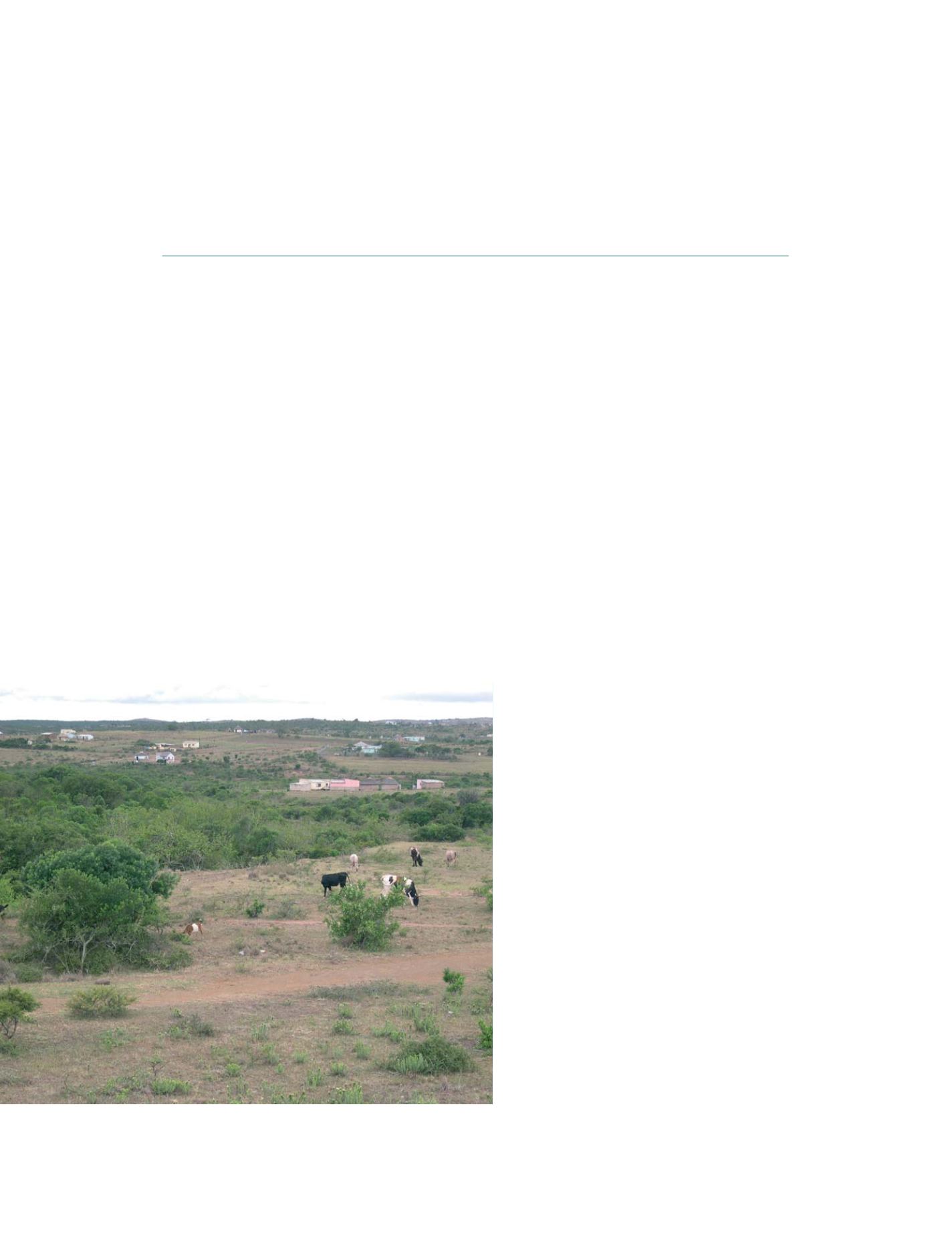
South Africa’s former homelands, now communal areas, show the effects of
overgrazing, soil erosion and unplanned rural settlement
Photo: K Wessels
S
OCIETAL
B
ENEFIT
A
REAS
– E
COSYSTEMS